
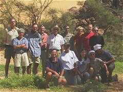
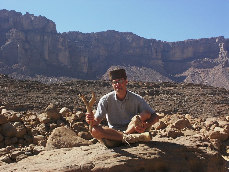
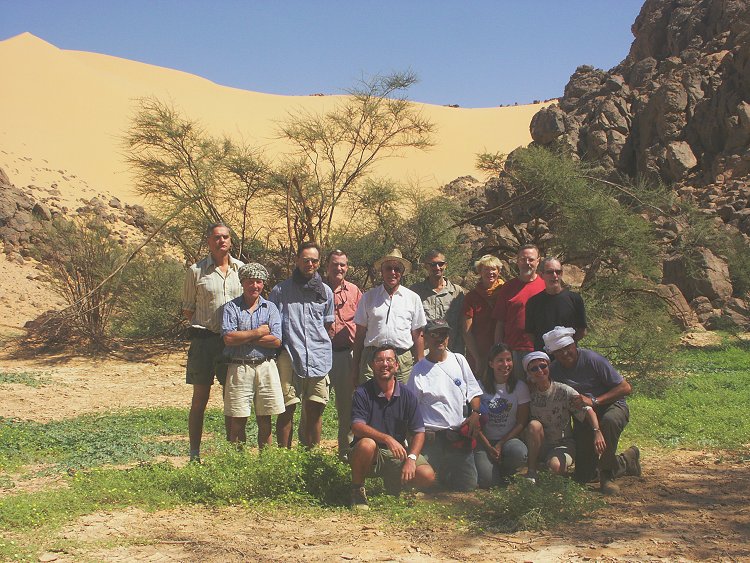
 Click on image for list of participants |
Jebel Uweinat - Gilf Kebir Expedition, Egypt 15th October - 1st November, 2005 NOTICE: The rock art photos on this page are strictly copyrighted ! No photo may be copied / used for any purpose without written permission. |
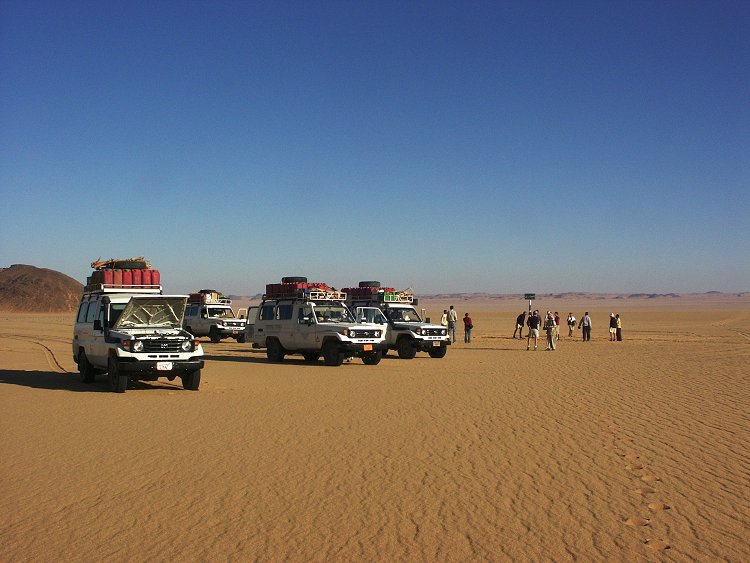
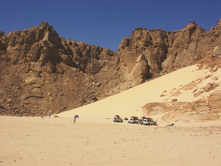
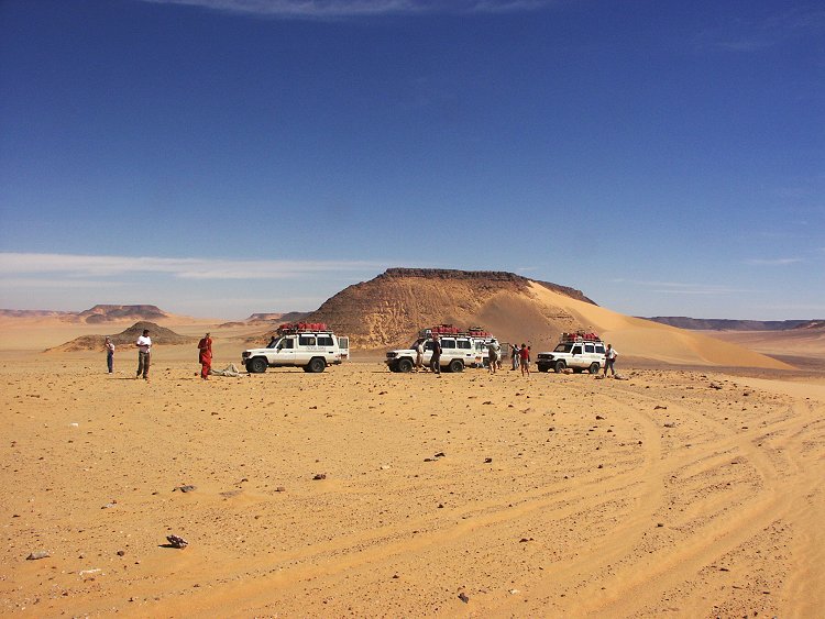
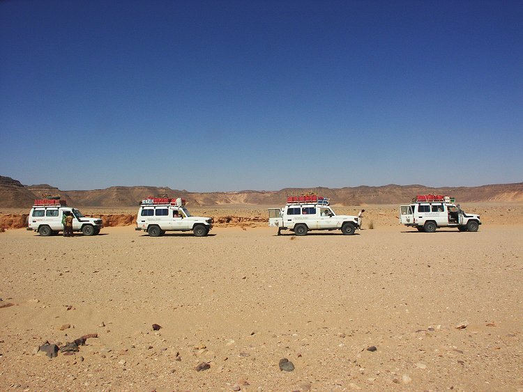
Day 1 - 2. - Cairo - Dakhla - camp at the foot of the Gilf Kebir
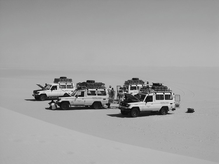
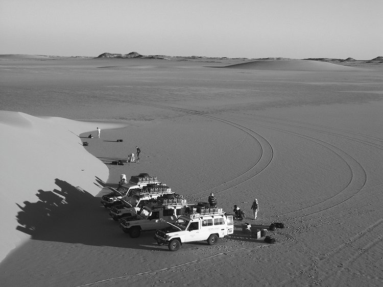
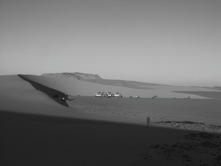
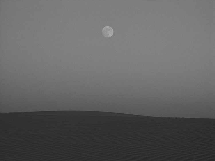
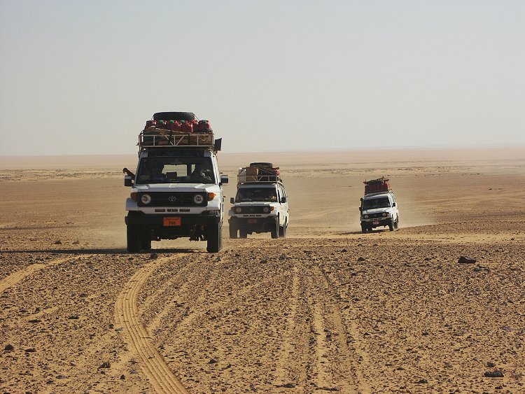
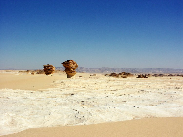
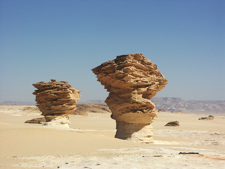
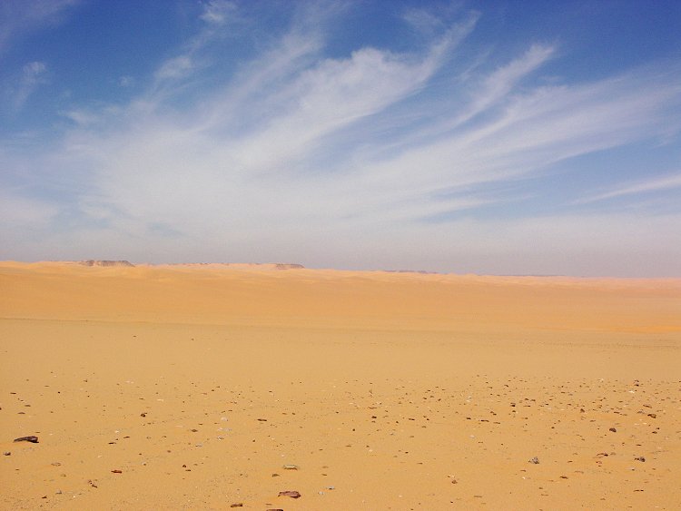
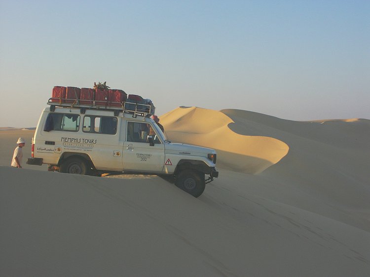
The first day was the all day drive to Dakhla Oasis, only interrupted by a brief stop for lunch in the White Desert. After a night at the Hotel Mebarez we started at dawn on the long road south, then accross the Selima Sand Sheet towards the eastern foothills of the Gilf Kebir. We stopped for the night at the site of our camp of March 2001 among the golden barchan dunes. (My camera was accidentally left on an incorrect setting, hence the black & white photos for the first couple of days.)
Day 3. - Eight Bells - Kemal el Din monument - Karkur Talh
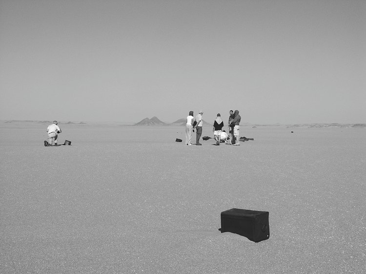
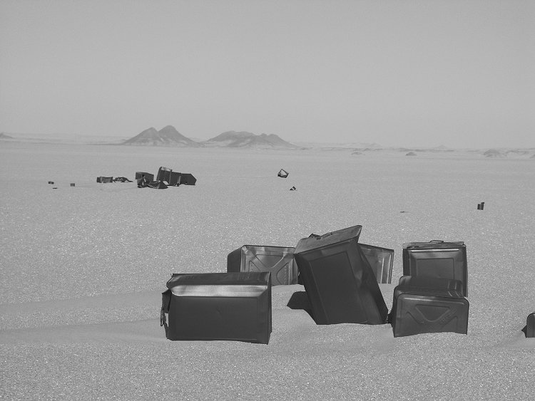
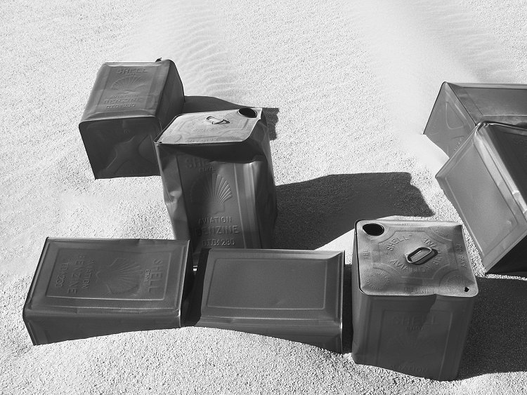
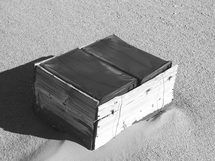
Early morning we continued to Eight Bells, exploring a bit of the historic trash left about by the Kufra convoys.
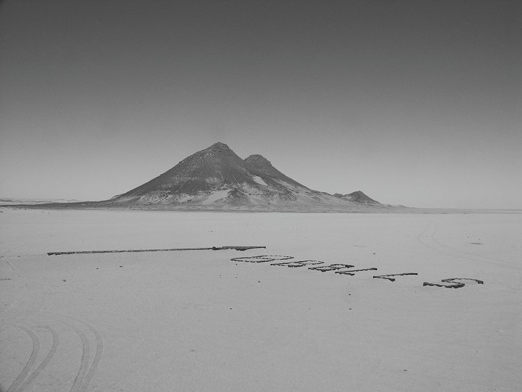
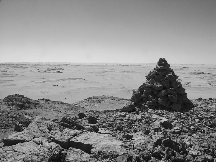
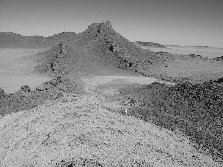
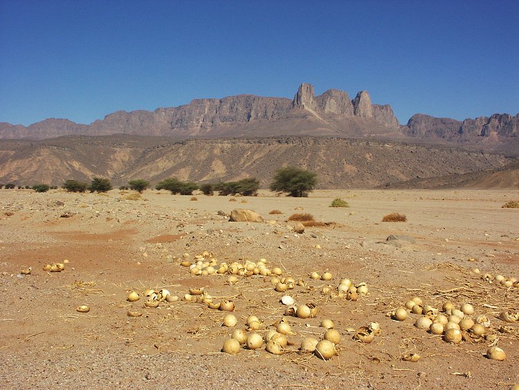
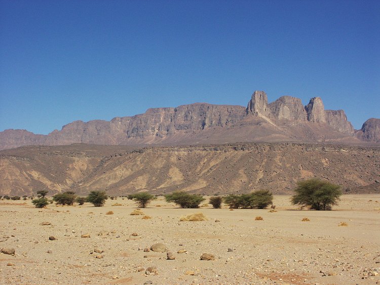
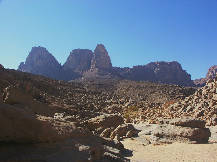
We continued south towards Jebel Uweinat, stopping briefly at the Kemal el Din monument, where for the first time we climbed to the cairn on the hill above. The cairn held no clues as to who built it and when.
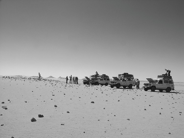
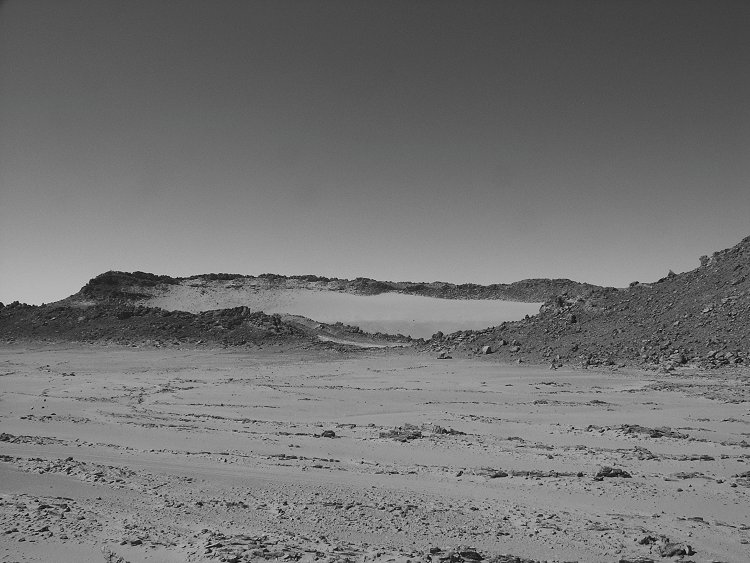
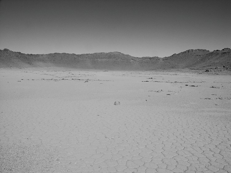
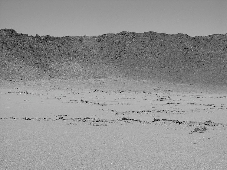
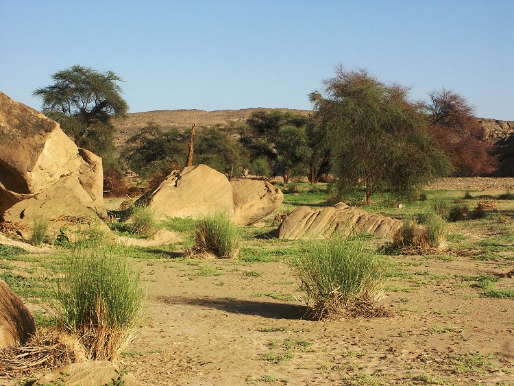
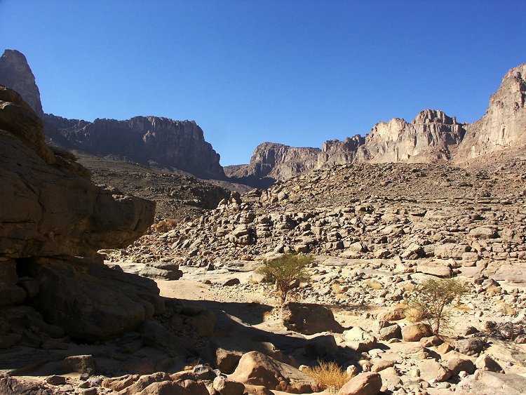
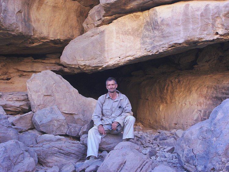
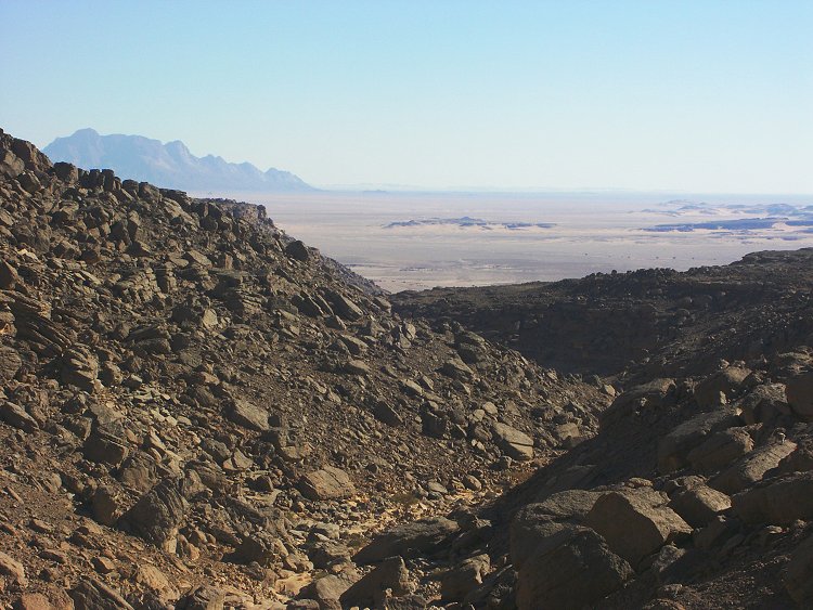
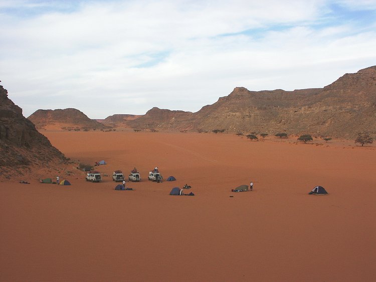
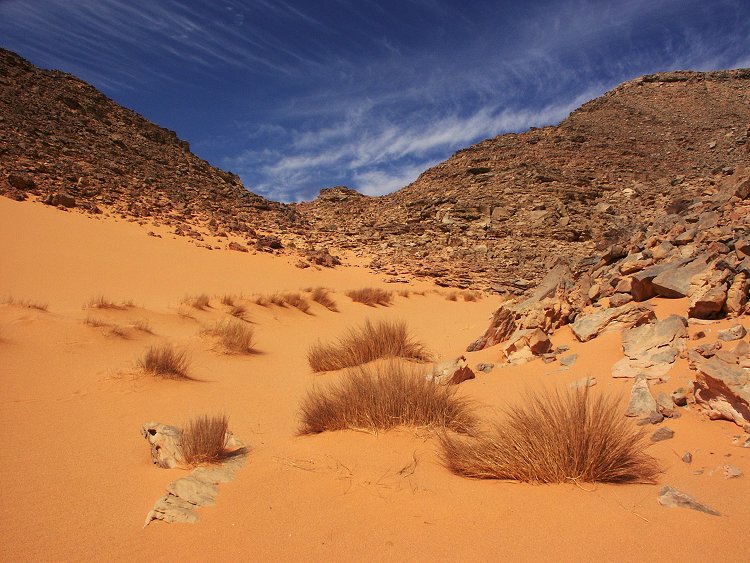
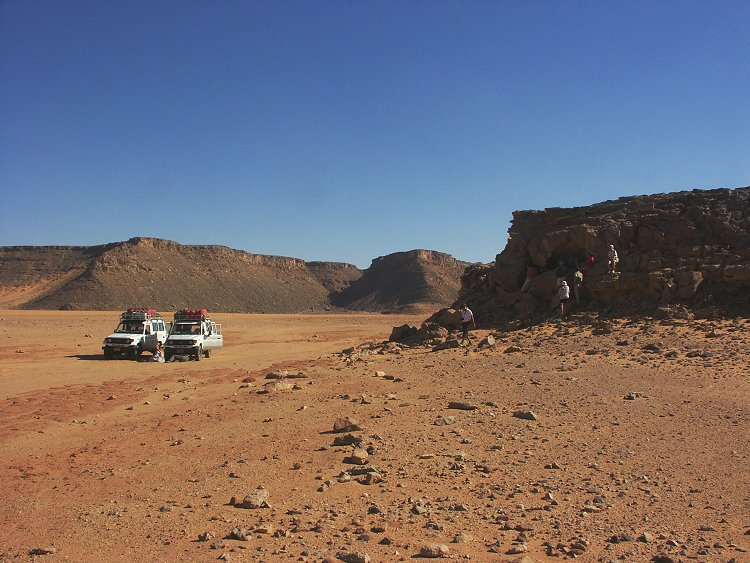
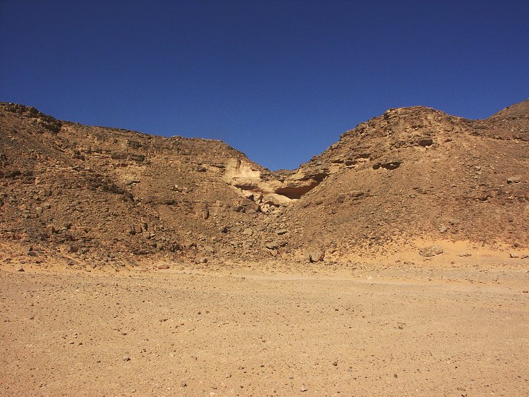
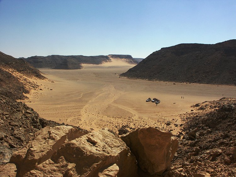
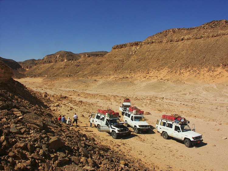
We stopped for lunch at Clayton's Craters, taking some time to explore "Crater A" (named thus by K.S. Sandford). Here too we noted (just like at nearby Crater B) that the crater floor is criscrossed by vertical sandstone dykes, and the only trace of volcanic material is located in a dyke flanked by parallel sandstone walls, running along the south edge of the crater. We reached Karkur Talh at Uweinat in the mid-afternoon, making camp at our usual spot in the South branch.
Day 4. - Karkur Talh
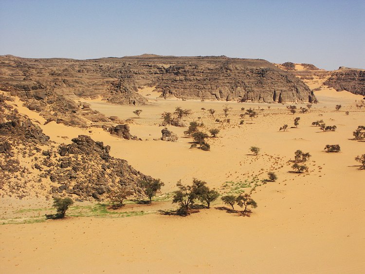
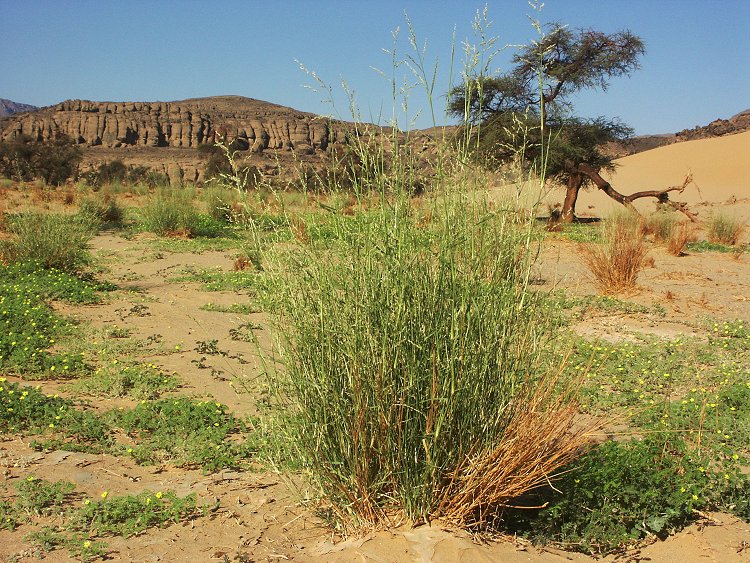
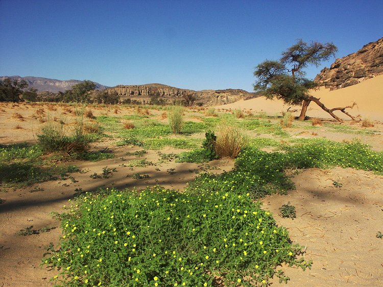
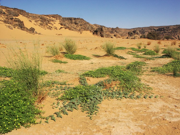
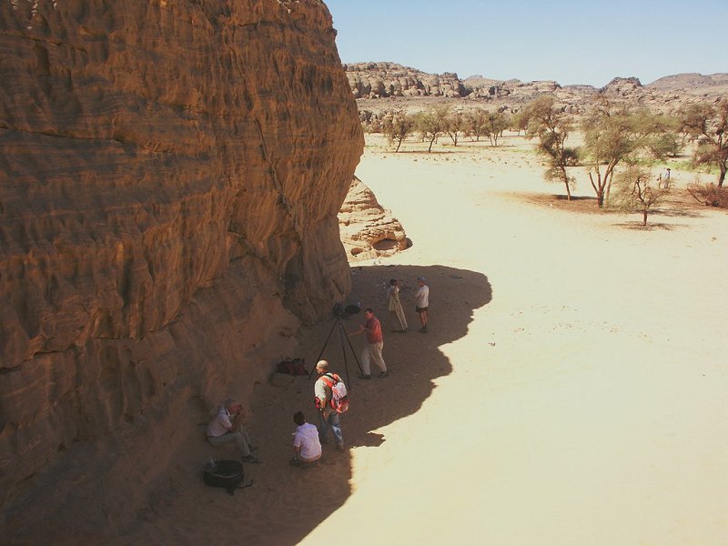
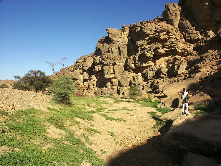
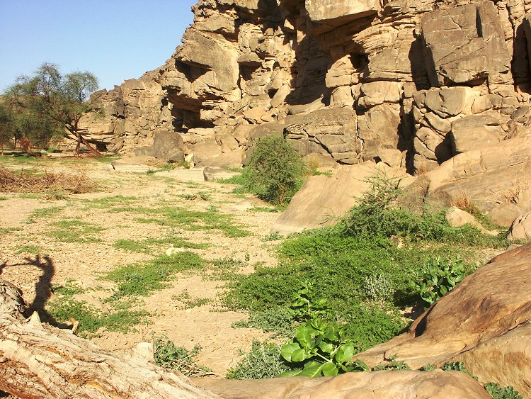
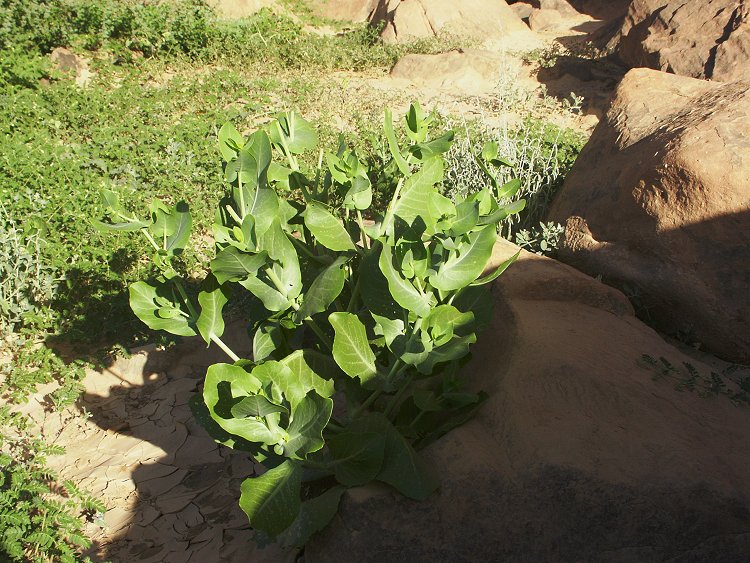
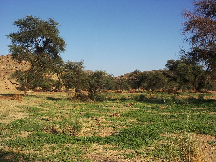
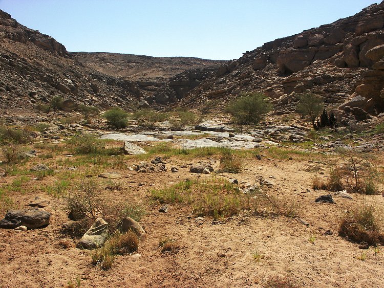
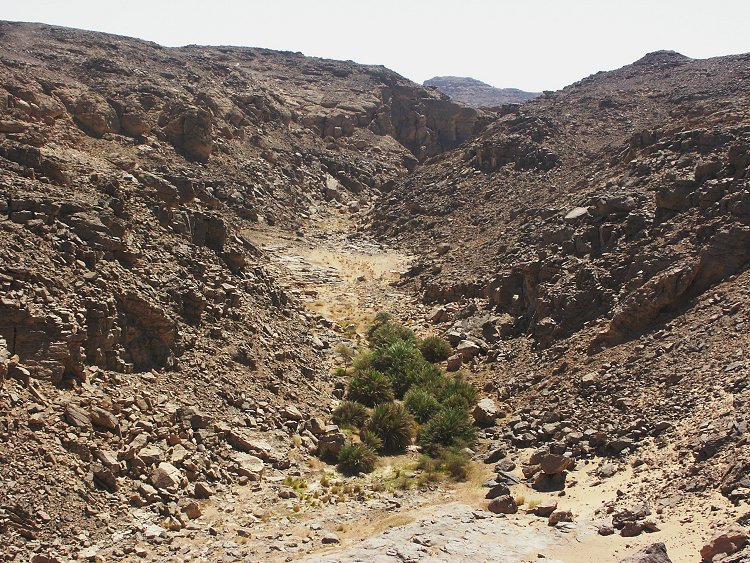
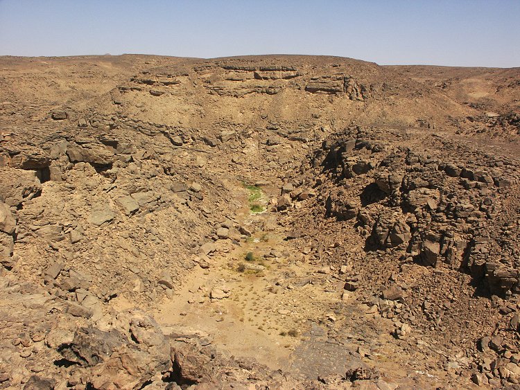
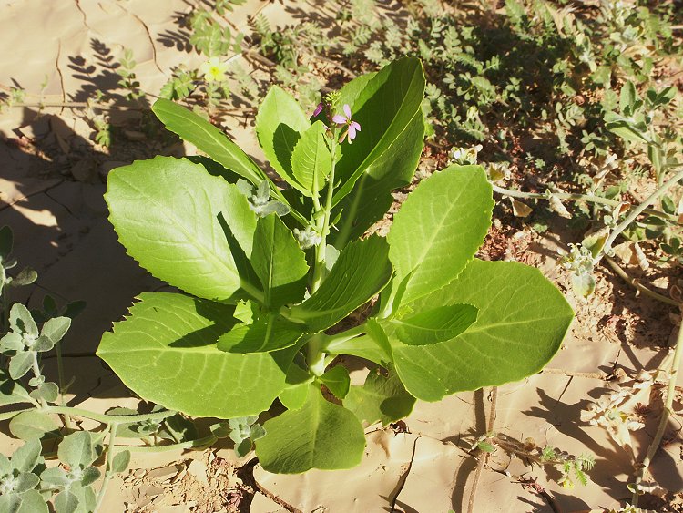
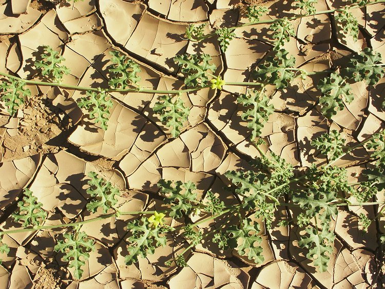
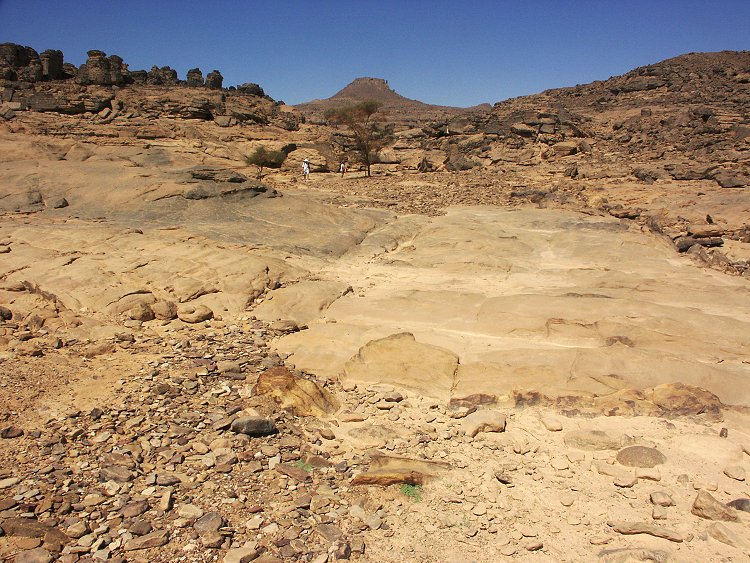
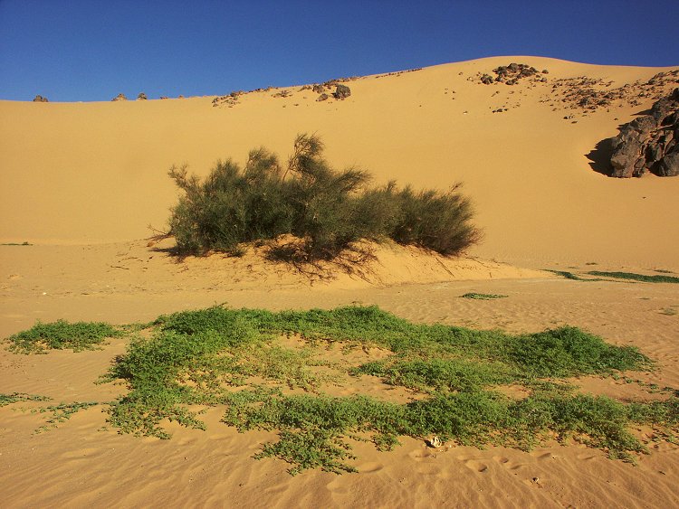
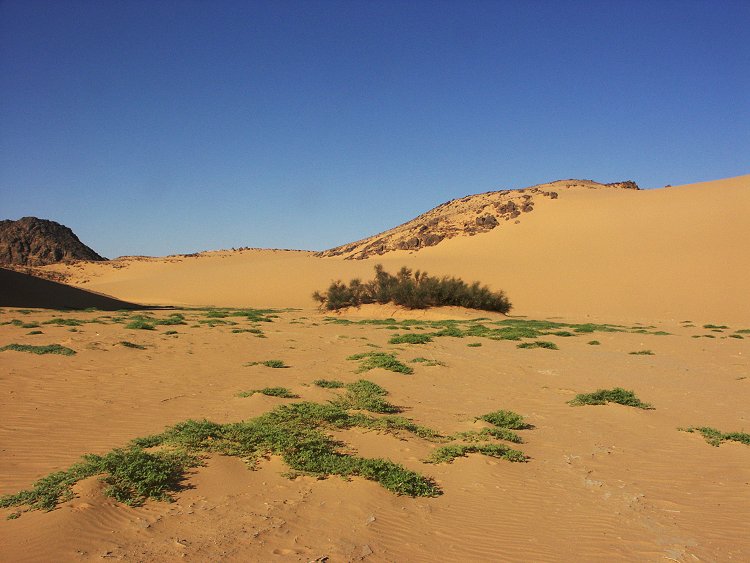
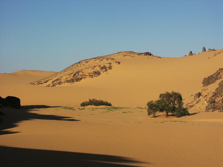
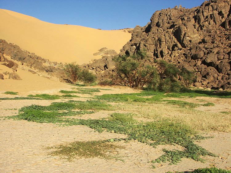
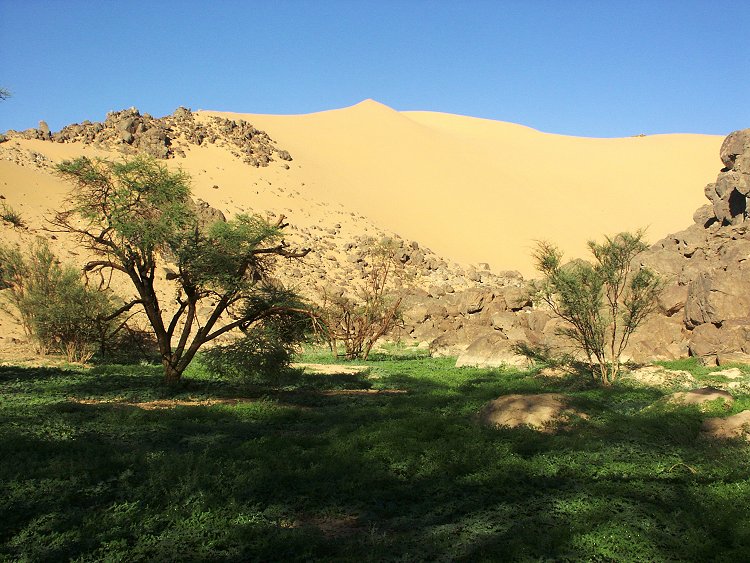
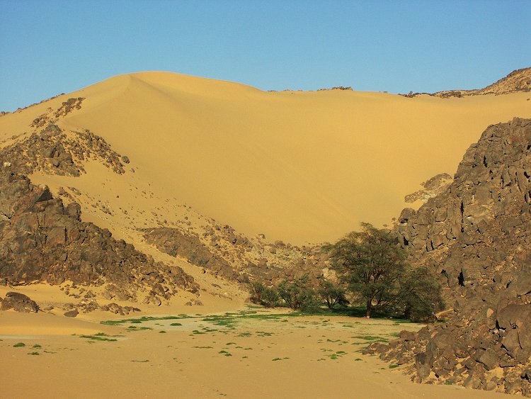
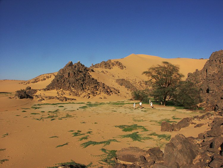
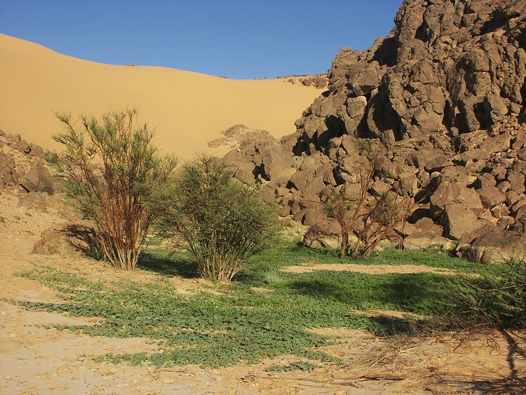
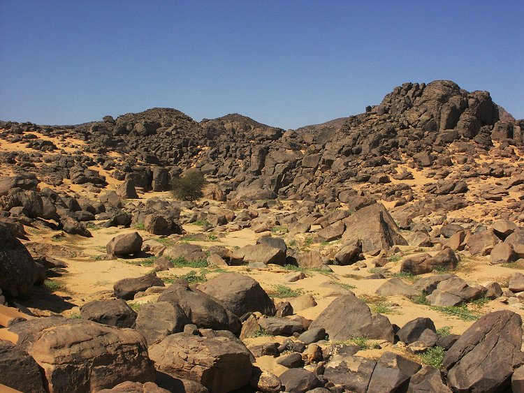
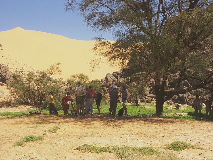
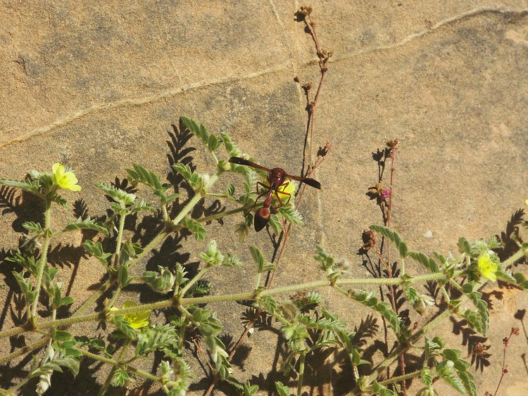
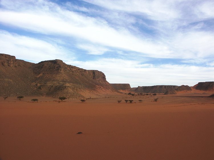
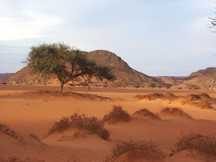
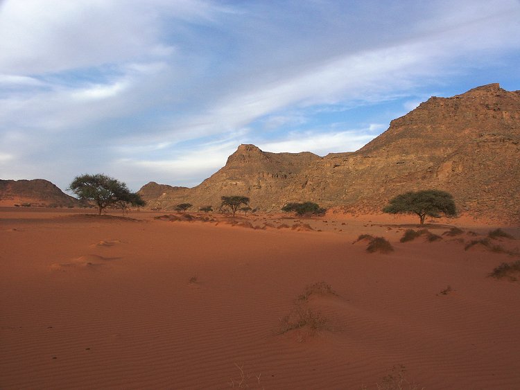
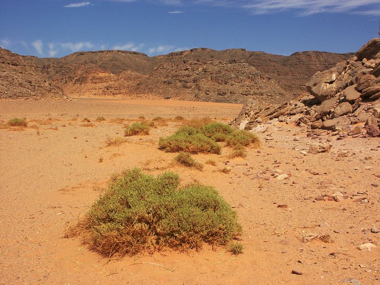
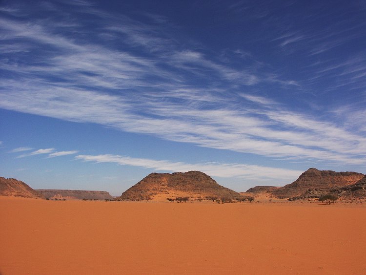
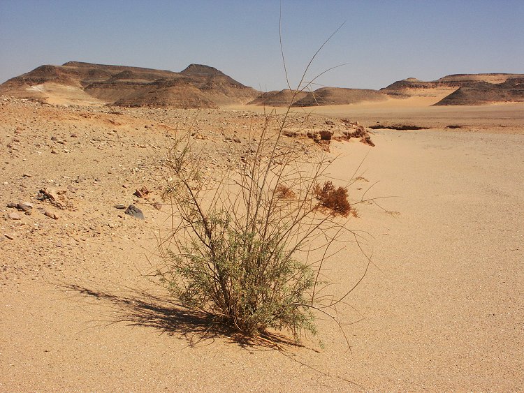
The plan for the day was to visit the rock art sites in the central part of Karkur Talh. As we rounded the first rock island, a few green spots were noted on the far side of the valley. As we approached, we withessed a true miracle: the whole valley was green, with millions of yellow flowers, like an alpine meadow, repeating the sight that greeted us in October 1998. The fresh growth was strictly limited to the bed of the watercourse, even a few metres away everything was dry and dead as usual.
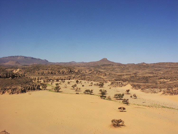
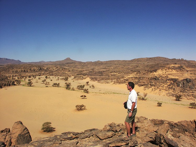
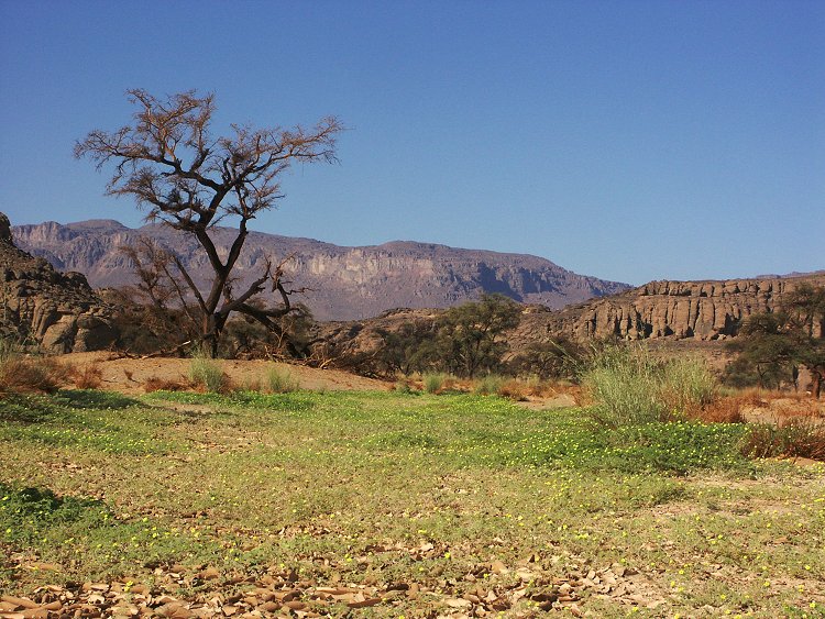
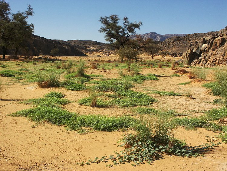
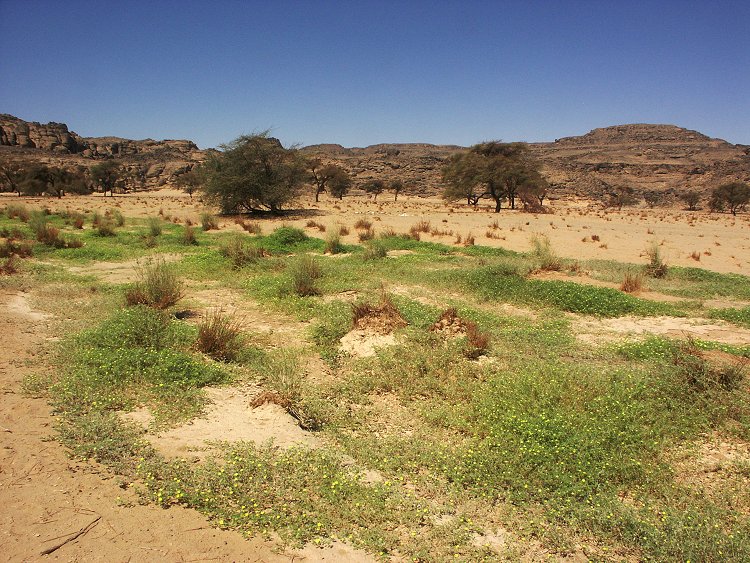
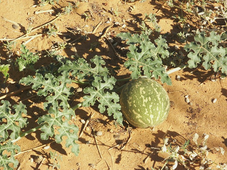
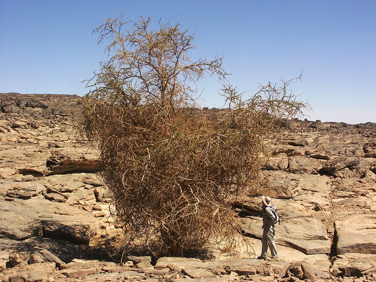
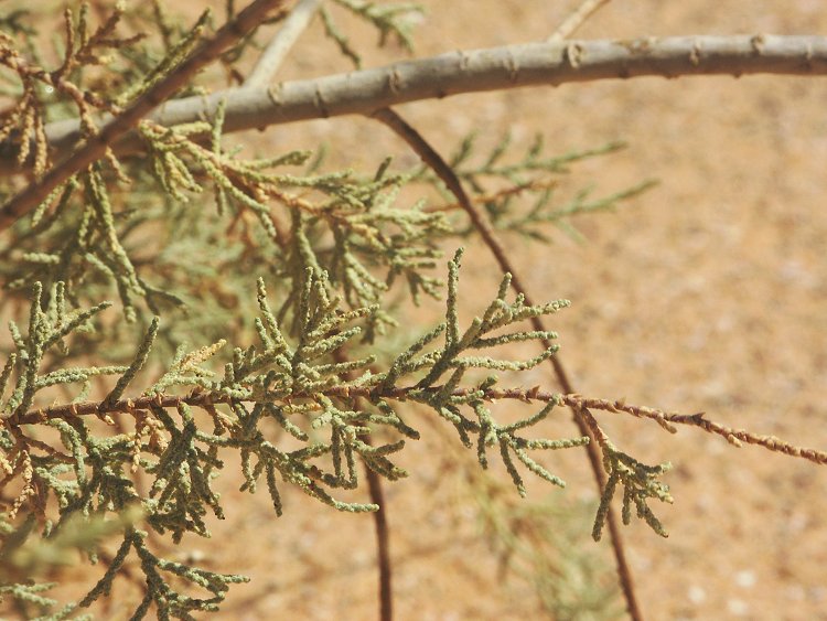
The majority of the bright green plants were Tribulus mollis and Cassia italica, the former responsible for the pretty yellow flowers. The tufts of Panicum turgidum all sported fresh growth, and there were several colocynths growing, plus a number of previously not seen plants, currently being identified. As soon as identification is complete, a new page describing the fresh vegetation will be added to the Flora & Fauna section. Based on the size of the largest colocynths, Salama estimated the rain must have fallen 3-4 weeks prior to our visit, placing the event around mid-september, seven years after the last recorded rains in September 1998.
The rest of the morning was spent hopping between the rock art sites and the bright green valley, taking thousand of photos.
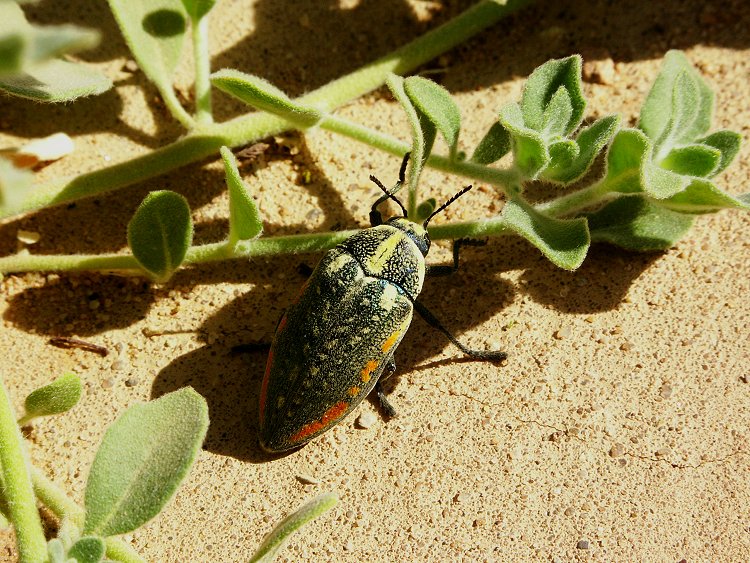
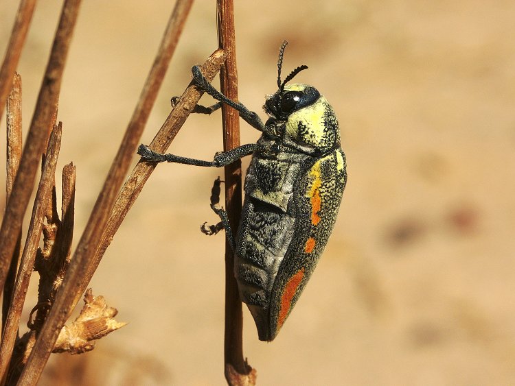
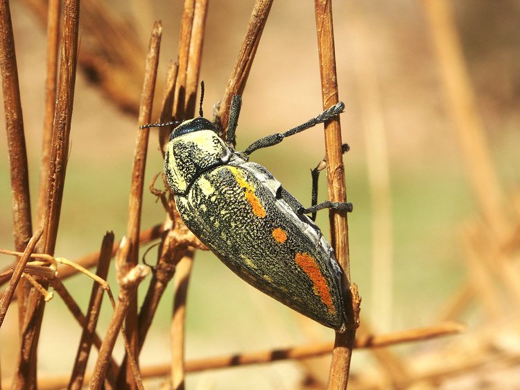
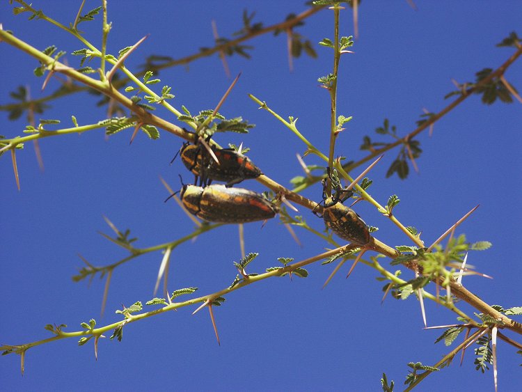
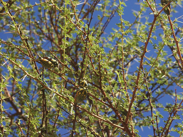
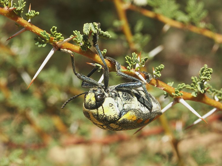
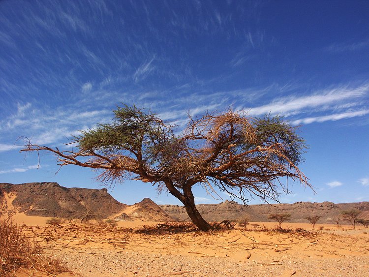
In the afternoon, as the majority of our group went with Salama to see the sites in the northern tributaries found in October 2002, with Zayed we stayed in the main valley to explore the greenery. We dug a hole in the middle of the sandy watercourse, and found damp sand at a depth of about 80 cm, however no water seeped innto the hole until 1.2 metres. The air was buzzing with several large beetles, identified as Julodis fimbriata, one of the large family of jewel beetles (one was also noted in October 1998).
With Zayed we drove up the valley to see where the water came from. At the fork of the two main western branches itbecame clear, that the rain only fell in the northern catchment area, the south-west branch draining the Hassanein plateau was completely dry, however the north-west branch was lush with new vegetation.
Day 5. - Karkur Murr
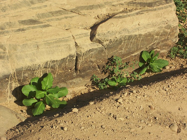
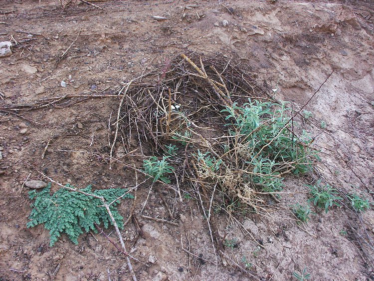
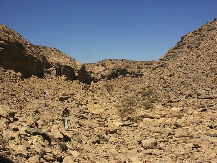
In the morning we set out for a full day trek to Karkur Murr. We went via the old camel trail, and noted that there has been a little rain in this area too. While all the major wadis (including Karkur Murr) were found completely dry, the little tributary from which the trail starts showed signs of a recent water pool and some fresh growth including some never before seen species. Apparently the rain fell in several very localised bursts.
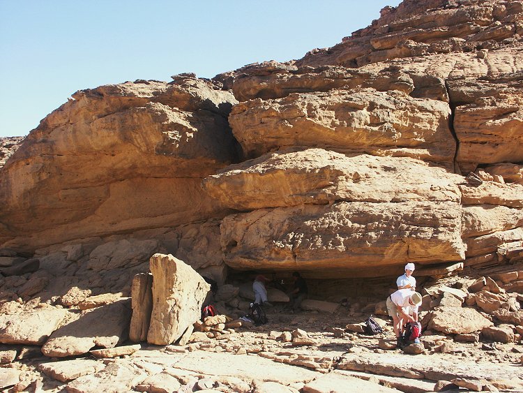
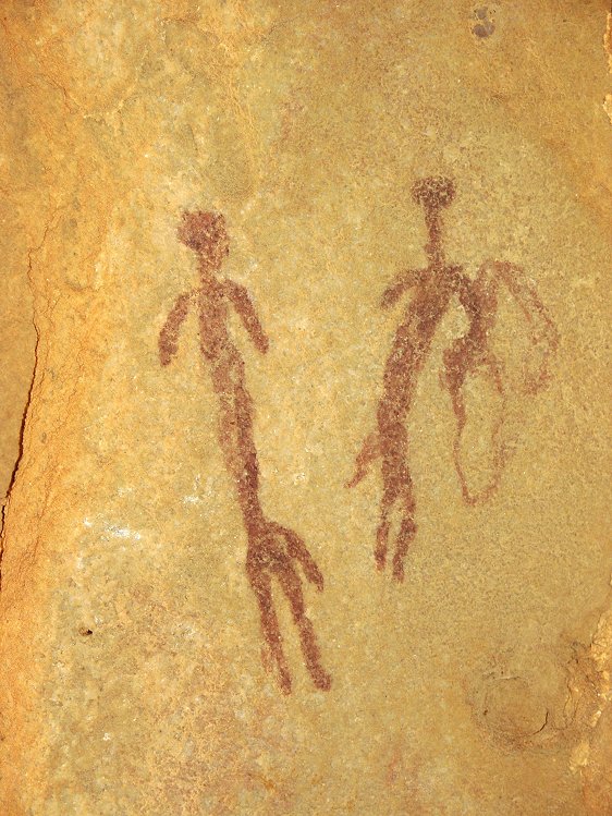
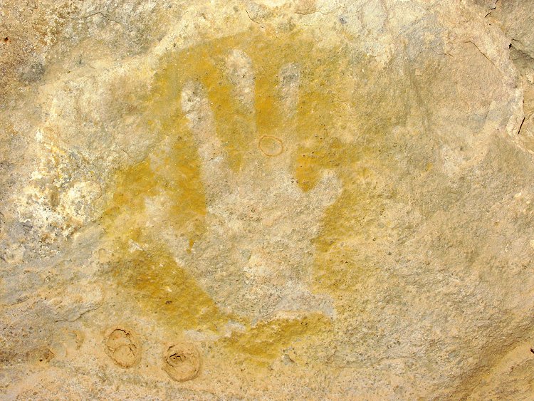
We went via Winkler's site 81, and near by in a low shelter where I'm sure we have peeked in previously at least half a dozen times, Liz found a lovely set of paintings.
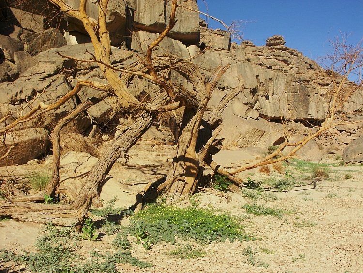
We walked down Karkur Murr to Ain Murr, the upper spring. The vegetation seemed lusher and greener here too, however there was no trace of rain, only groundwater.
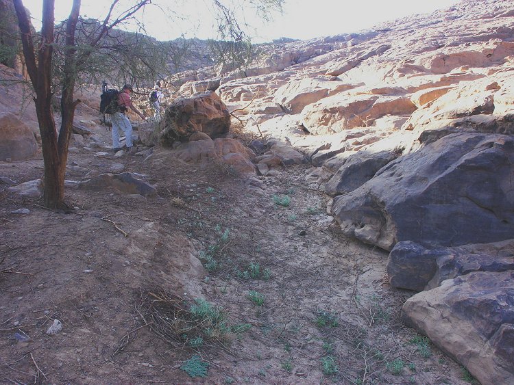
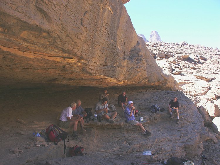
Some of the group continued down to the base of the mountain to visit the lower springs and the SDF campsite. With others we climbed the cliff above the well and set out to look for Winkler's missing site 75 in the unexplored areas.
Site 75 remained elusive, even though we searched a fairly large area where it was expected based on Winkler's description. We did find however a couple of shelters in a western tributary of Karkur Murr with some faint paintings.
Day 6. - Karkur Talh - Wadi Handal
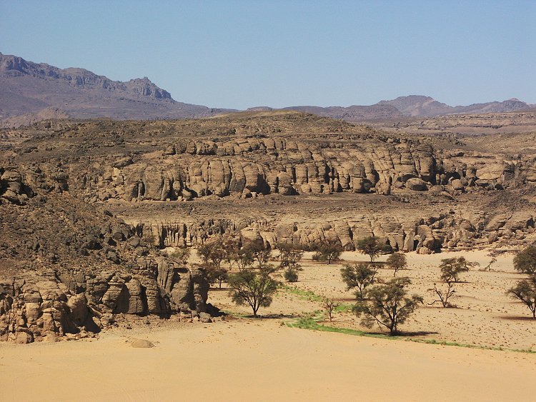
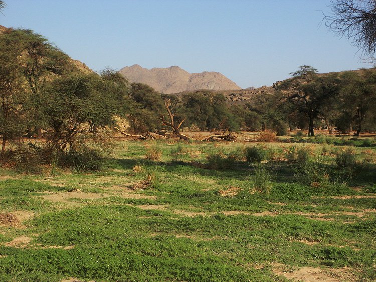
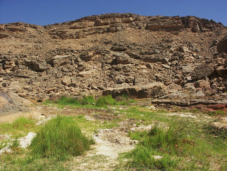
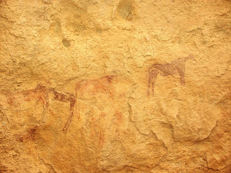
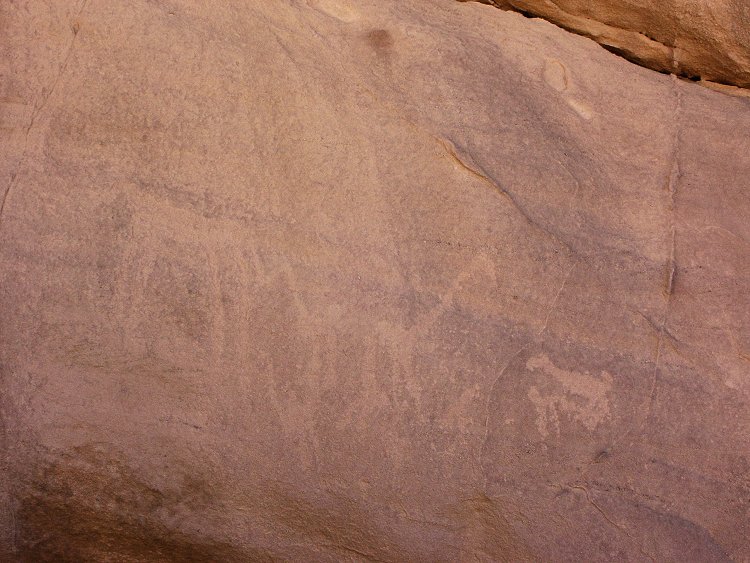
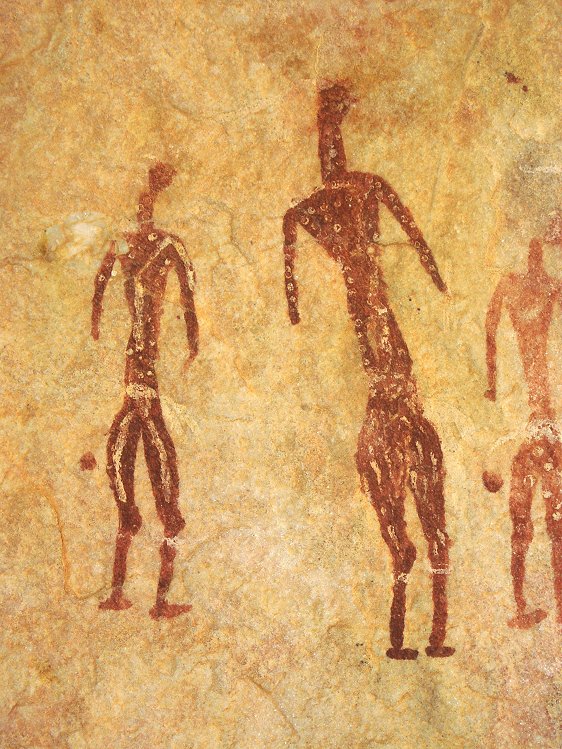
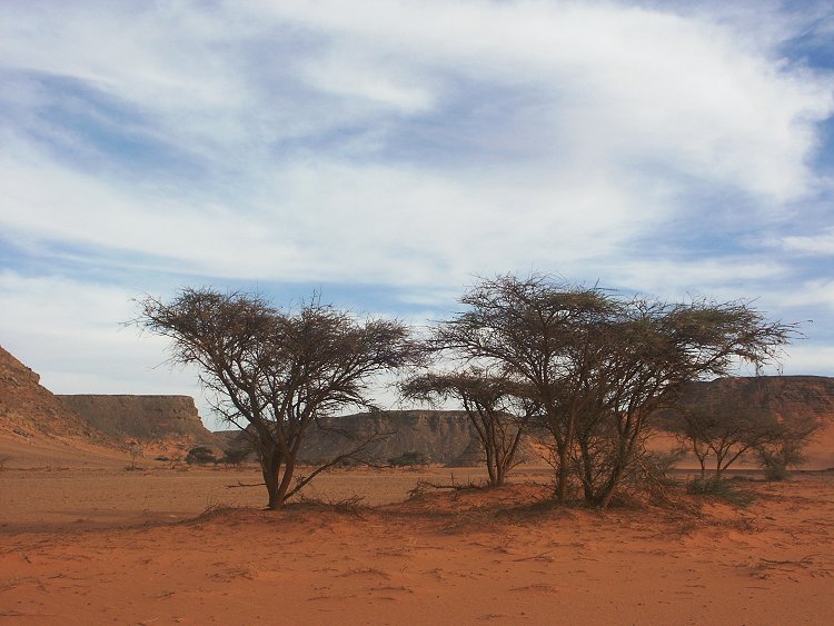
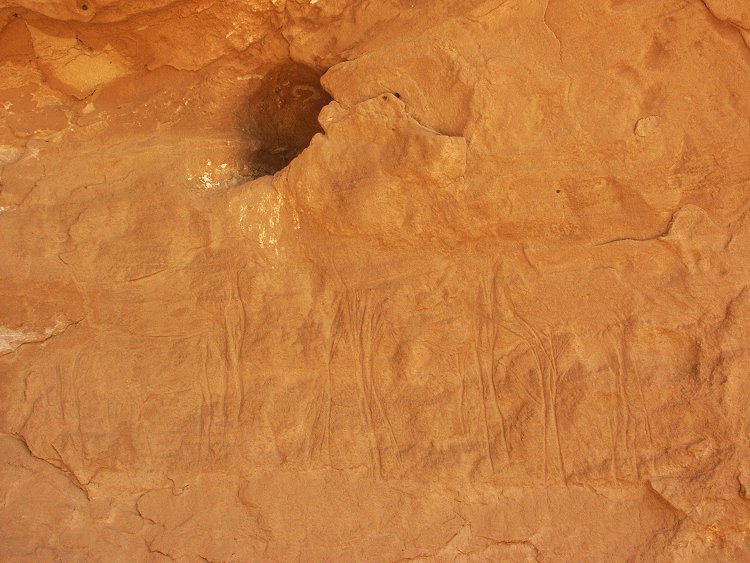
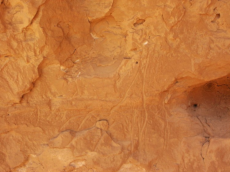
In the morning we visited the main group of rock art sites found by the 1968 Belgian expedition. The valley was full of plants, many species noted for the first time.
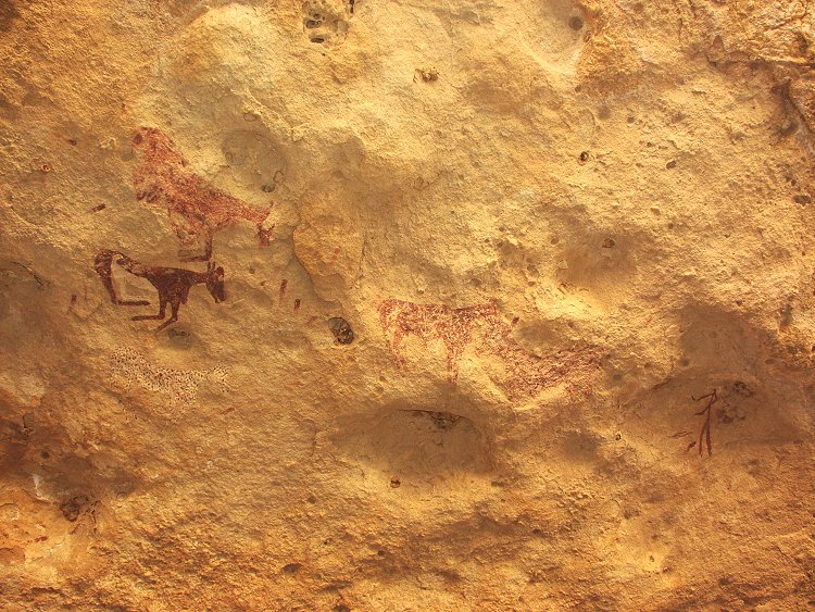
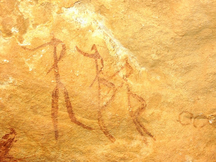
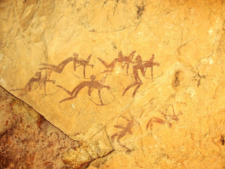
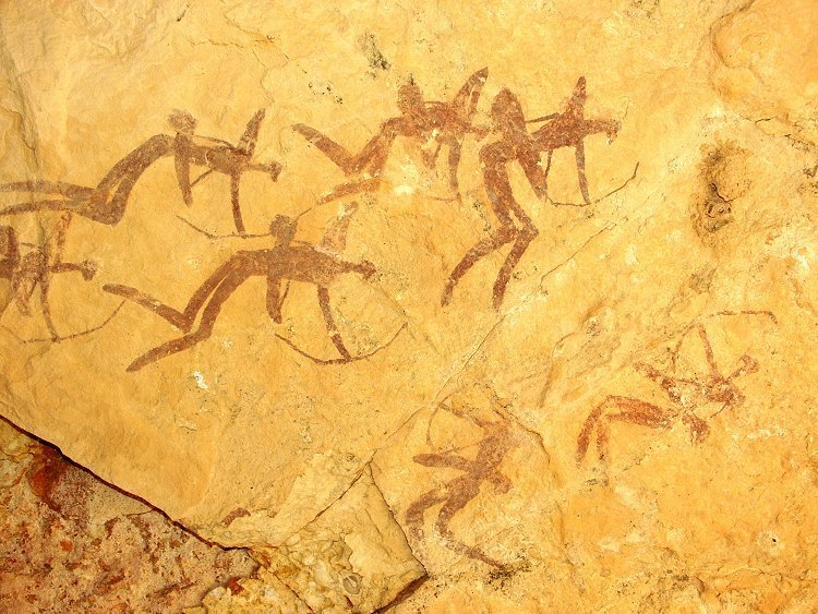
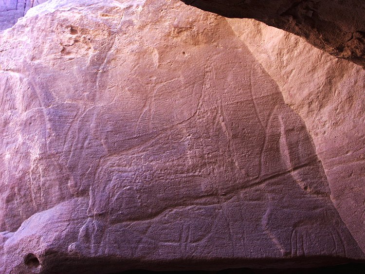
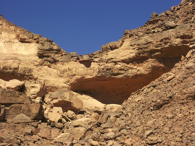
As usual, our stay did not pass without a new find. In the upper section of one of the main shelters we found some previously unknown paintings in November 2001. While re-taking some photographs, I glanced at the ceiling and saw a group of perfectly preserved archers, that we completely missed before.
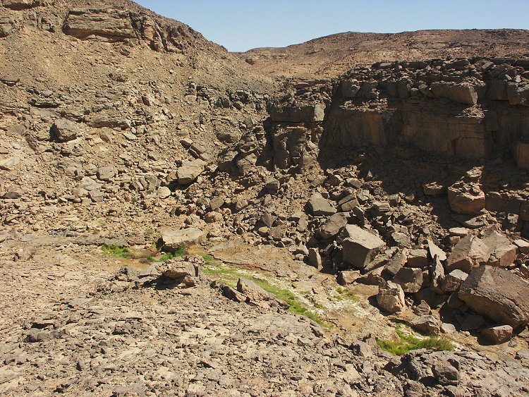
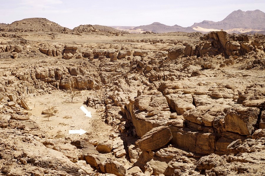
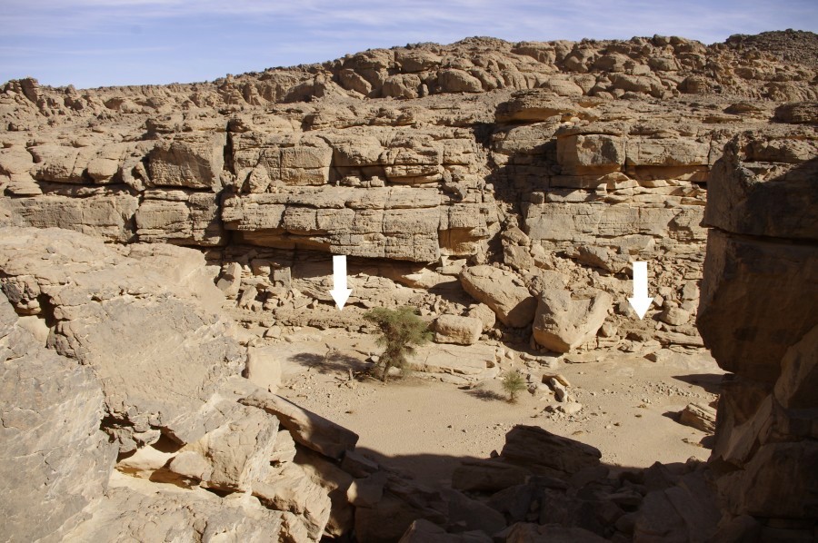
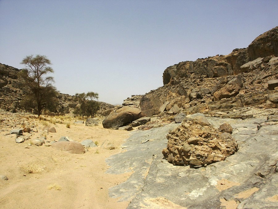
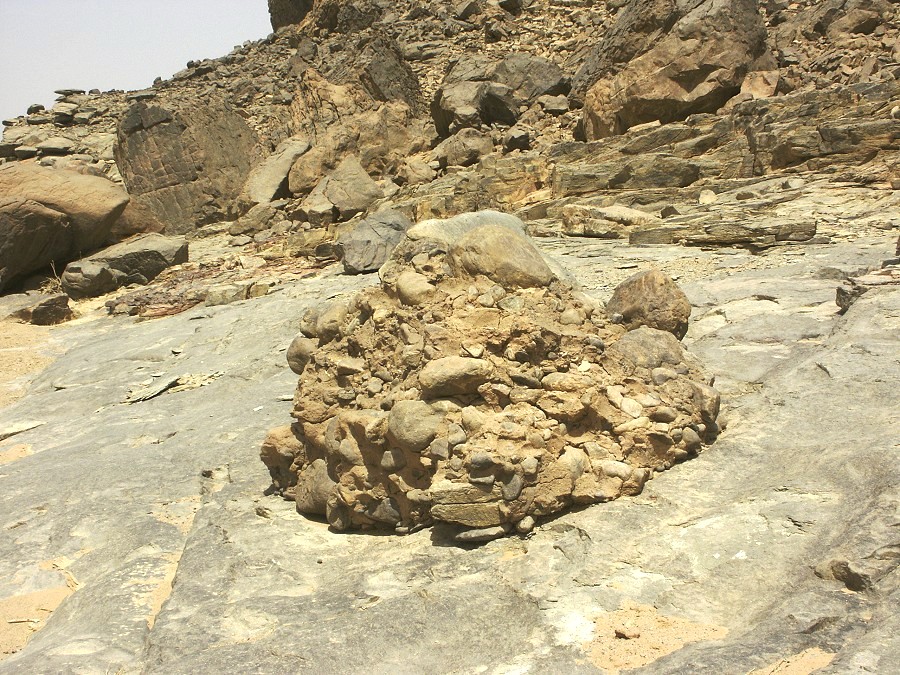
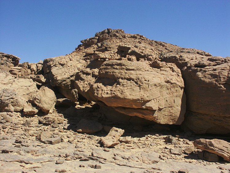
With all the excitement of the new plant growth and the rock art sites, we only paid passing attention to a low outcrop in front of the principal shelter of the area. We have noted this outcrop several times previously, it was clearly not bedrock but appeared to be some kind of eroded wadi sediment, lying superimposed over rocks and gravel of the wadi bed. However it was coarse, hard and rock-like, and it grabbed the attention of Martina and Chris. It took some time to do the analysis and the write-up, but they have confirmed that the sediment patches, located along both sides of the valley, were in fact freshwater carbonates, indicating that at some time a permanent lake occupied the bed of the wadi at this point, the remaining uneroded outcrops clearly showing the extent of the body of water. A similar sediment outcrop was noted near the concentration of rock art sites in the south-western barnch of Karkur Talh two days later. The results were published in late 2013: Margarita M. Marinova, A. Nele Meckler, Christopher P. McKay, Holocene freshwater carbonate structures in the hyper-arid Gebel Uweinat region of the Sahara Desert (Southwestern Egypt), Journal of African Earth Sciences 89 (2014).
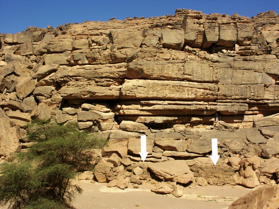
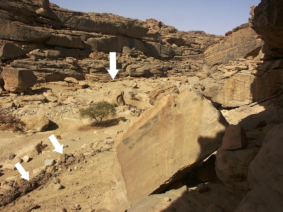

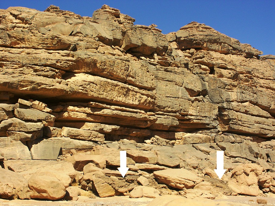
This new evidence poses a number of very exciting questions. Looking at my photographs taken on various trips, the extent of the former lake is readily evident around the "Belgians' sites" (unfortunately I have no photos of the outcrop at the South-western branch, but it is almost identical in texture, however the extent of that lake is not known). The obtained dates seem to indicate that the lake was substantially older than when the cattle pastoralists made their lovely paintings there, however a basin most probably would have remained which would have filled with water after rains, providing a good water source which would explain the concentration of paintings at this particular spot (and in the other valley). However the idea of a permanent body of water at a steady level (otherwise the carbonates could not have formed around the rim of the lake) goes contrary to what we know of the climate at the time - one with a marginal summer monsoon regime (like the sahel today) with very little if any rains at other time of the year. Thus the lake must have been replenished by some underground source to remain level, as daily evaporation rates are around 1-1.5cm per day in this climate, as evidenced by the evaporation rings around present-day gueltas. An unreplenished shallow lake would disappear latest by 3-4 months after rains. As there is no evidence of any spring at this locality, such a replenishment could have been by percolating retained rainfall flowing slowly under and within the wadi sediments and emerging at these two observed locations.
However this hypothesis raises another question: what blocked the valleys at these two particular points to make the subsurface water emerge ? At present the wadi bed is a gradual uninterrupted gradient, and no larger body of water could form here. There are some clues. Both localities are at the point where the gradient of the valleys reduce and boulders and gravel are deposited to form a cuntinuous terrace, into which the present watercourse carved a narrow channel up to a metre deep. Further downstream there is an isolated tower of consolidated gravel and mud which stands a good two metres above the present wadi floor. It appears that in prehistory the gravel terrace was much higher, probably dating back to wetter periods of the early pleistocene. After the hyperarid conditions of the late pleistocene (with desert conditions much like today), a new cycle of erosion began, but apparently at the point where the rapid flow of the wadi was blocked by the gravel terraces of the preceding geological perod, lakes could form and remain for an extended period (in the range of several thousand years) before the blocking gravel was eroded sufficiently for the lakes to drain. On some future visit to Uweinat this will definitely be investigated in more detail.
However at the time all this was not known, we were focusing on our survey of the rock art sites. After lunch our party split, some staying till the afternoon to continue photography, while with a smaller group we set out to explore unsurveyed areas to the north of the main valley. Aside a few meagre engravings, nothing of interest was founf, except a few green plants and traces of running water indicating that a very little rain fell here too.
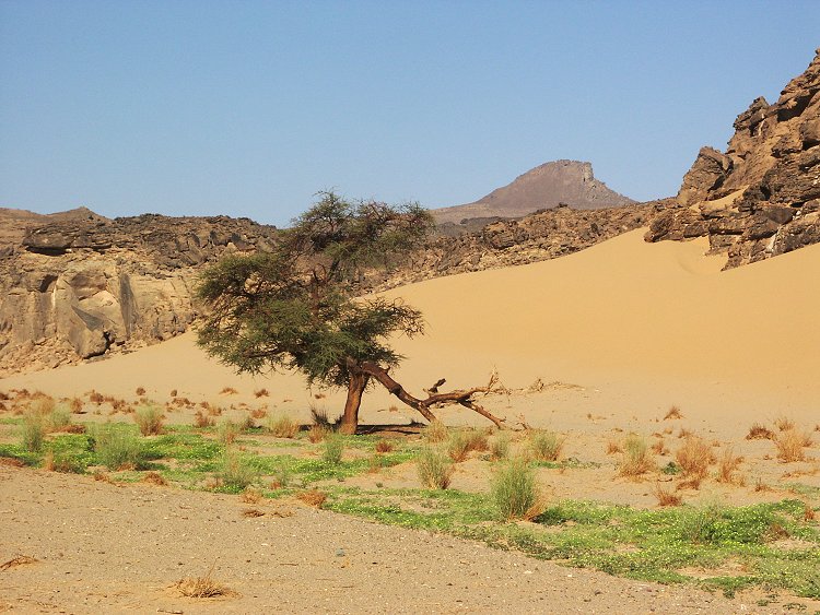
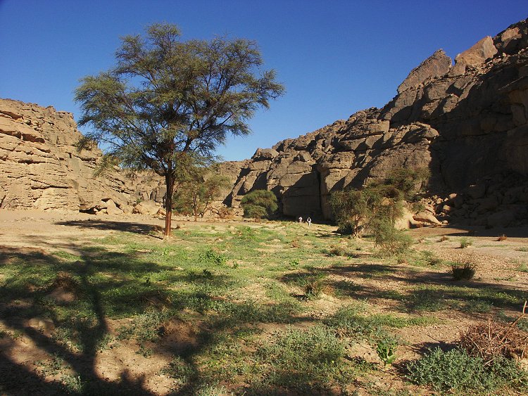
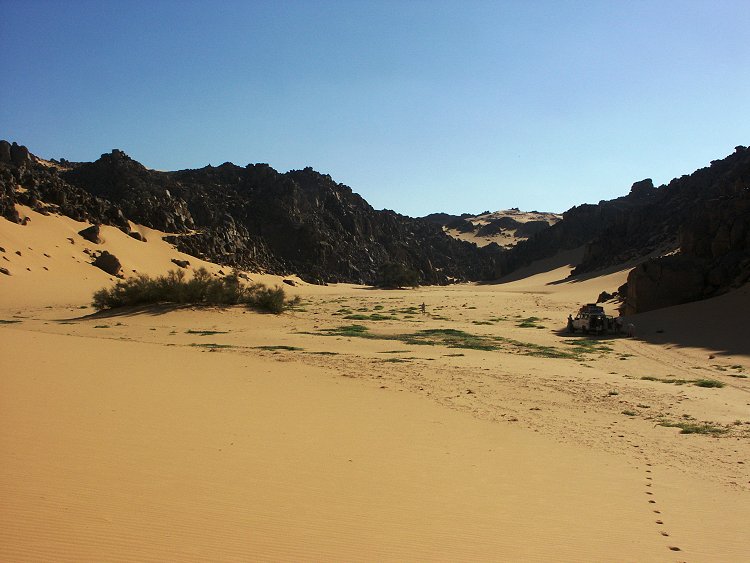
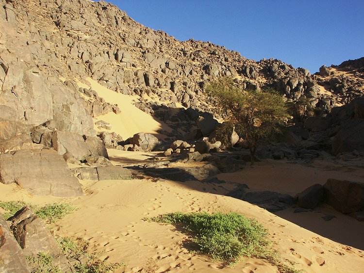
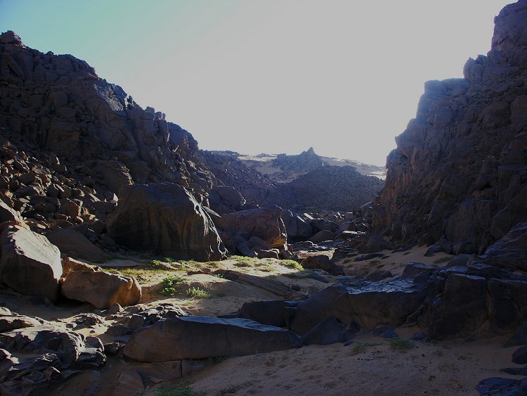
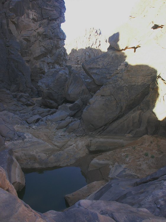
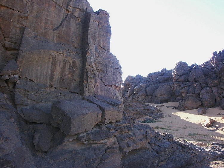
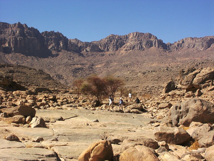
The plan of the afternoon was to explore a wadi a few kilometres to the west of Karkur Talh, mentioned by both the 1968 Belgian expedition, and Vance Haynes on the 1978 expedition with el Baz. The wadi was named Wadi Handal (or Hanzul) on account of the many colocynths seen there. Haynes also reported seeing engravings. The satelite imagery is very murky in the area, and shows no distinct wadi anywhere west of Karkur Talh till the Libyan border, so we did not really know what to expect. We were totally unprepared for the wonder awaiting us - a narrow little valley flanked by large sand dunes at the entrance (and hiding it from view from the plain), narrowing into a rocky gorge. The biggest surprise was that the rain runoff reached here too, the valey was a lush green jungle, especially in a small side branch where the bulk of the runoff was captured in a shallow lake.
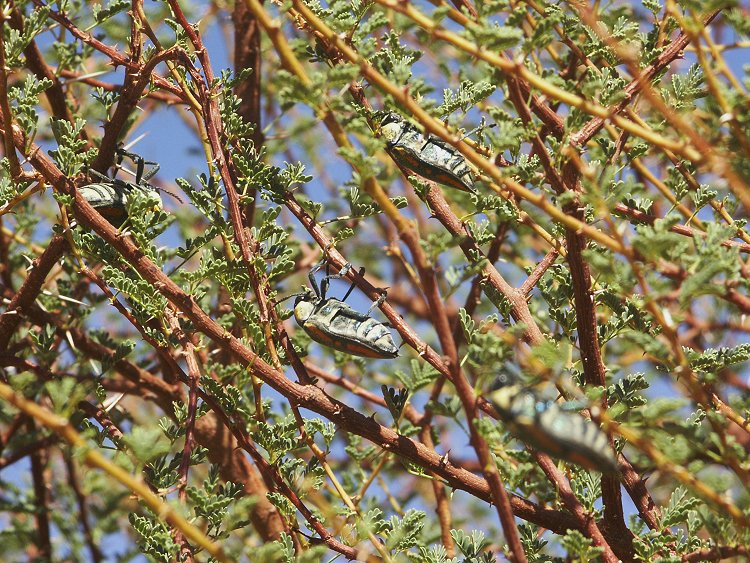
On an acacia we found dozens of mating Julodis fimbriata beetles, there were so many that they resembled fruit on the tree.
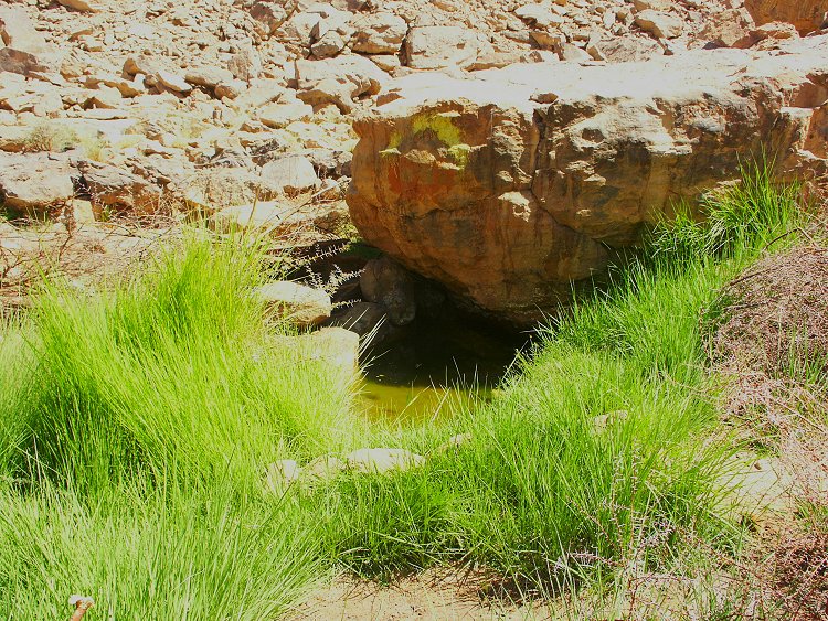
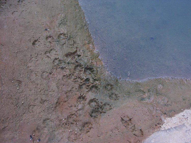
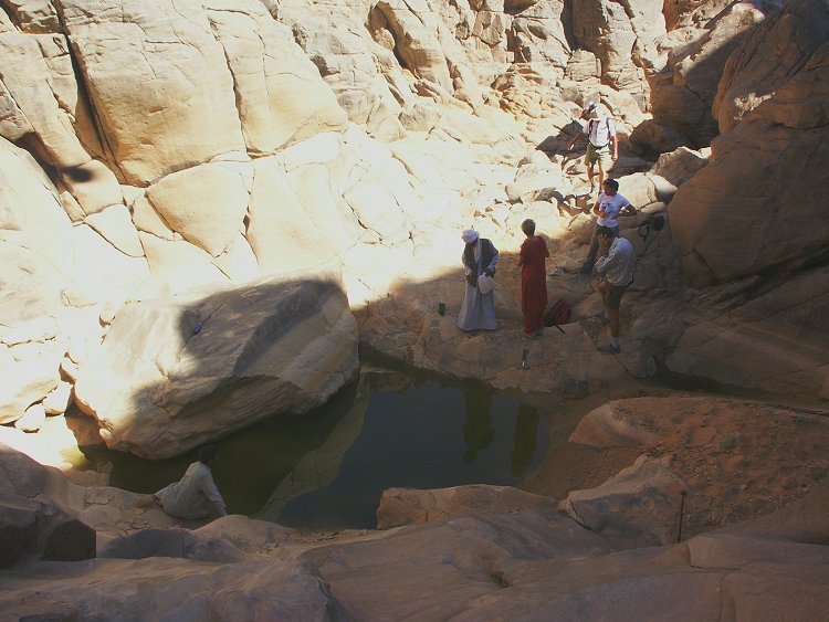
We had an hour left to explore the upper reaches of the wadi. In a quick dash we managed to cover about two kilometres upstream, all filled with vegetation. At a point where the wadi narrowed to a few metre wide canyon, we found a small guelta (rock pool) still containing excellent clean water, much to the delight of the local foxes leaving their fresh tracks at the waters edge.
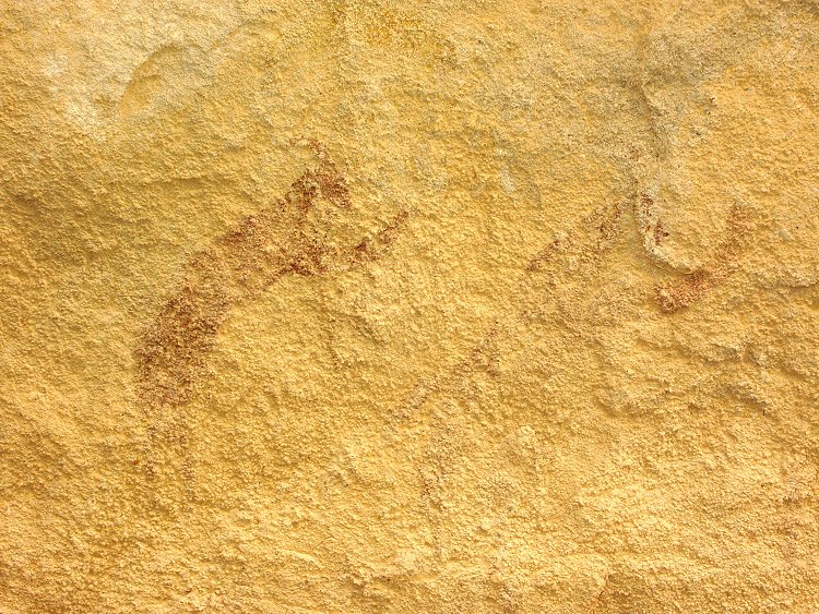
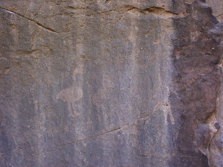
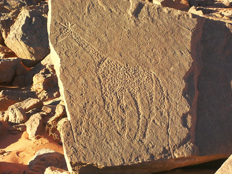
A few hundred metres above the guelta, on a vertical rock face we found a few faint engravings of ostrich, the only rock art noted in the valley. Vance Haynes reported seeing giraffes in the upper reaches, so there must be more sites awaiting a more thorough exploration.
Day 7. - Karkur Talh
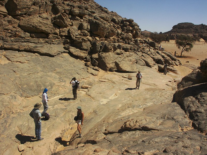
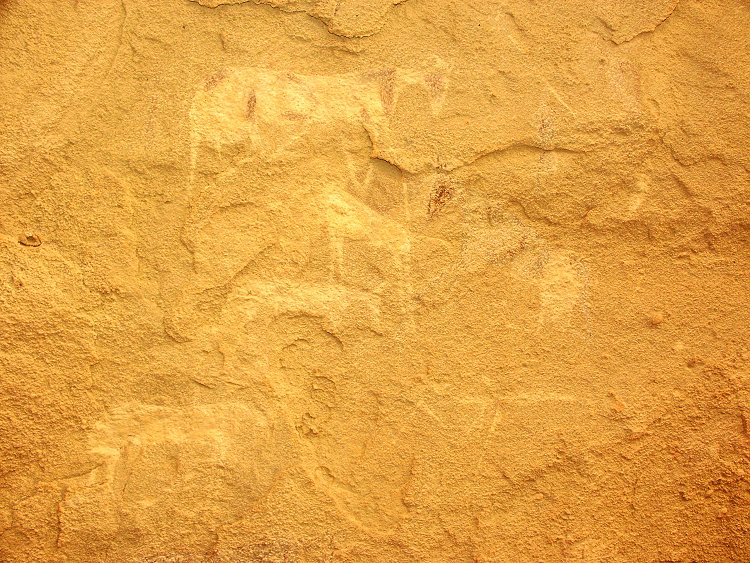
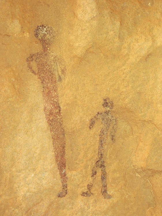
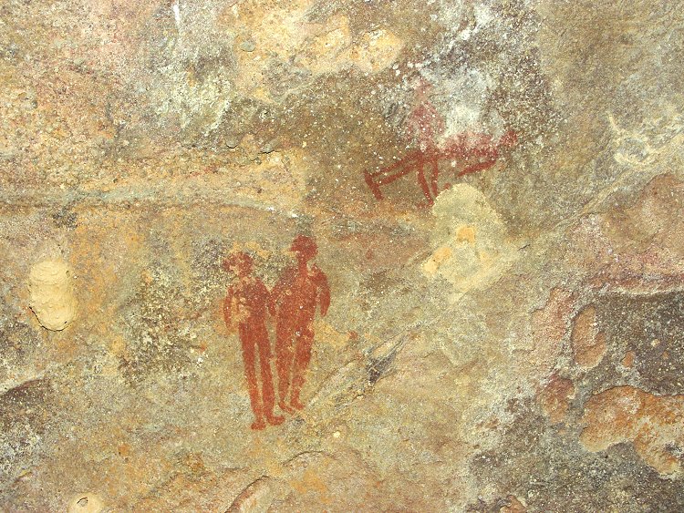
In the morning we walked accross the plateau between the two western branches of Karkur Talh to the rock art sides discovered in February 2003. The whole day was spent visiting and photographing the sites, and double checking areas for new ones. Close to the large shelter with the giraffe hunting scene, Liz & Jon found a new site with some lovely paintings of humans and cattle.
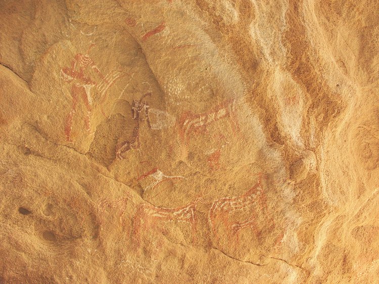
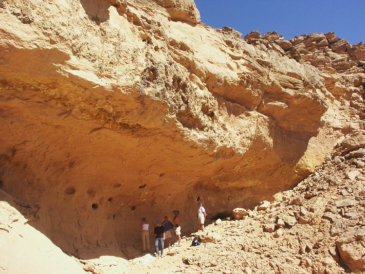
In the late afternoon I stumbled upon a very large shelter all around a large sandstone block, high up on the hillside, and completely invisible from below. At first it appeared empty, but on closer look it turned out to contain many strange paintings of the "uweinat roundhead" period. This site proved to be the major find of our trip, due to be published fully next year in Sahara.
Day 8. - Wadi Wahesh
In the morning we rounded the eastern spur of the mountain, and drove to the entrance of Wadi Wahesh, at the middle of the southern part.
The group split, some staying at the base of the mountain to visit the known sites, while the rest of us trekked up the difficult valley to the incredible sites discovered this past March, noting several new details at the main shelter.
With Mark we scrambled further up the valley, peyond the point reached in March. After a bend to the west, the valley flattened out, and entered the deep gorge between the Hassanein plateau and the main peak. No new sites were likely here, however further back, high on the scree slope among large boulders, Mark found a large shelter with some very well preserved paintings.
When we descended and reached camp, we learned from the others that the large valley immediately to the west of Wadi Wahesh was also completely green, the runoff reaching out into the plain for several kilometres.
Day 9. - Wadi Handal - Wadi Sora
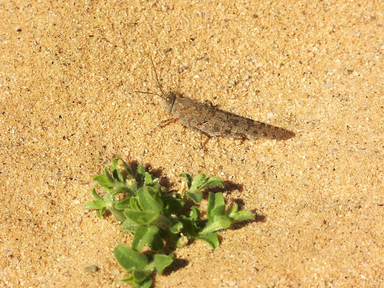
In the morning we drove around the mountain again to Wadi Handal, to continue exploring the upper reaches (and indulge in the luxury of a bath at the guelta). The farthest point reached was about 4kilometres from the mouth, as the terrain flattened out. No new rock art was seen, but the greenery in the valley was simply amazing. The valley was buzzing with insects of many kinds, including the big jewel beetles, large wasps and several big grasshoppers (not locusts).
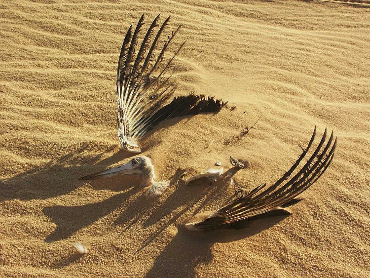
In the afternoon we drove north to Wadi Sora, passing a mummified stork along the way, reaching camp by dusk.
Day 10. - Wadi Sora area
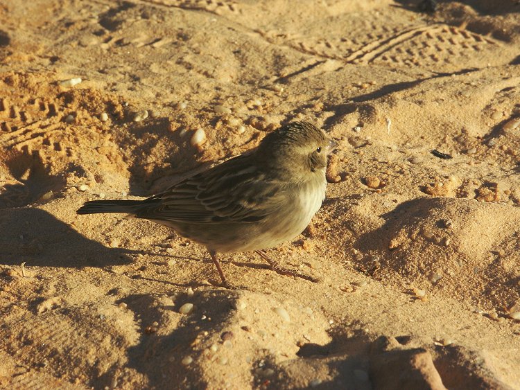
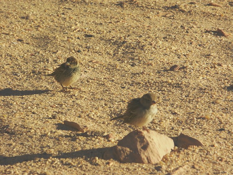
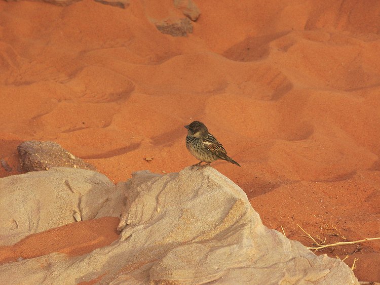
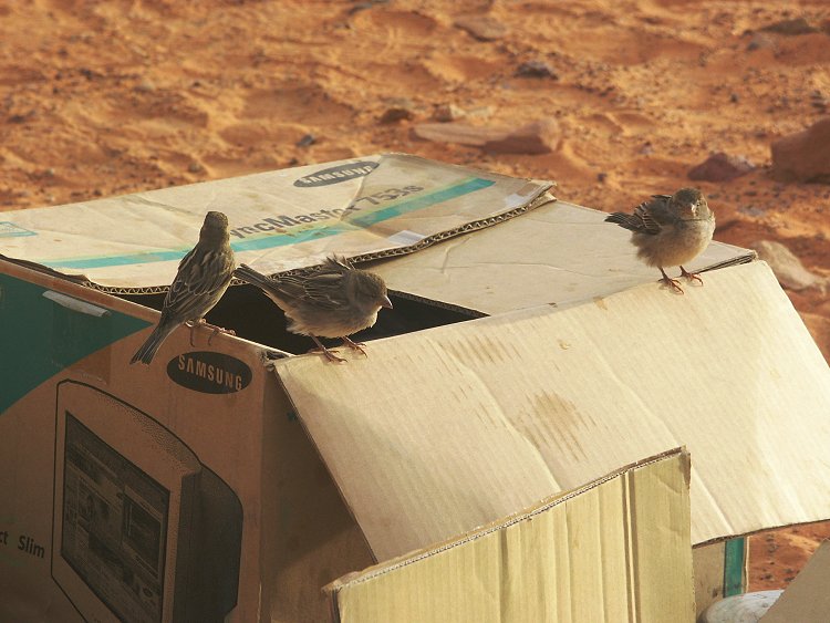
In the morning we awoke to loud chirping - a flock of rock sparrows invaded camp, and were happily nibbling away at all loose scraps just a few metres from us. The rest of the morning was spent with a leisurely visit to the main rock art sites.
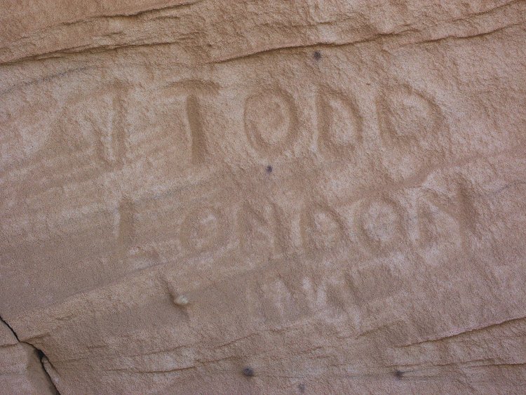
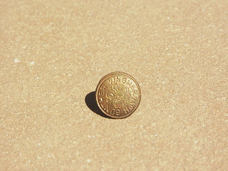
At the side of the smaller shelter, John pointed out an amusing detail: someone by the name of J Todd, also from London, visited the place in 1941 - either a member of the SDF, or possibly the LRDG. At the large shelter, we found another of Frau Pauli's drawing pins from either 1933 or 1935.
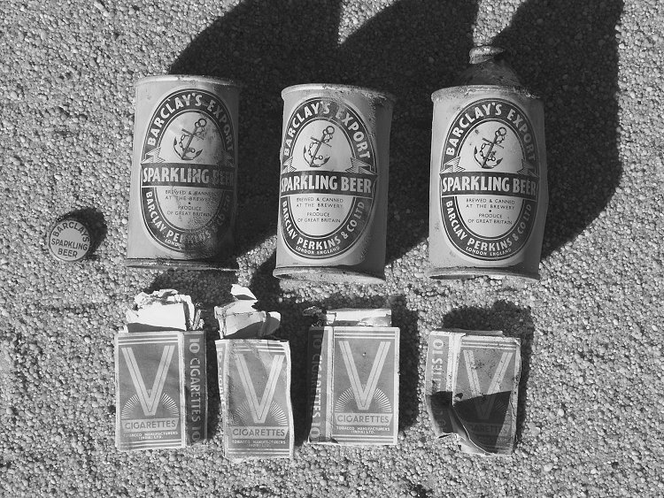
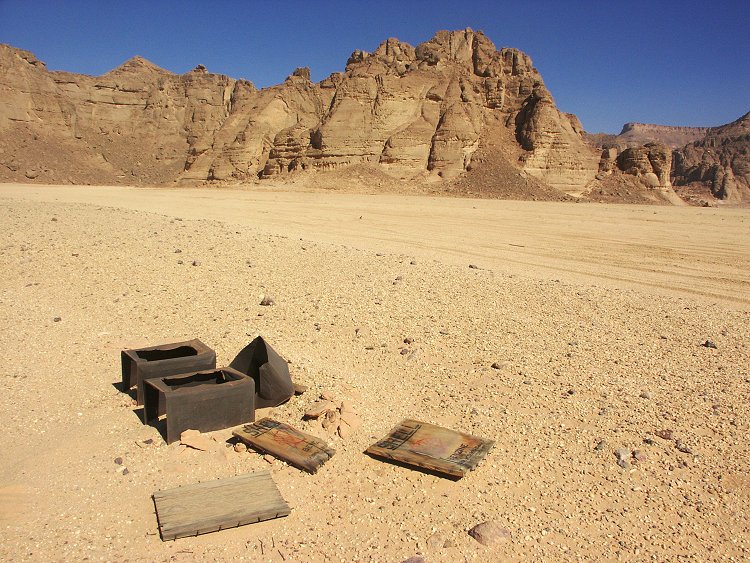
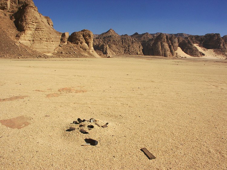
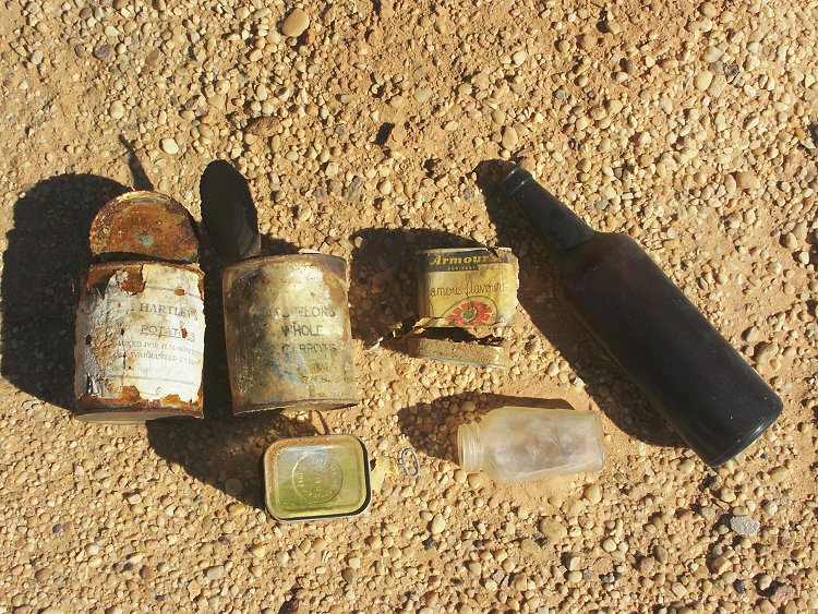
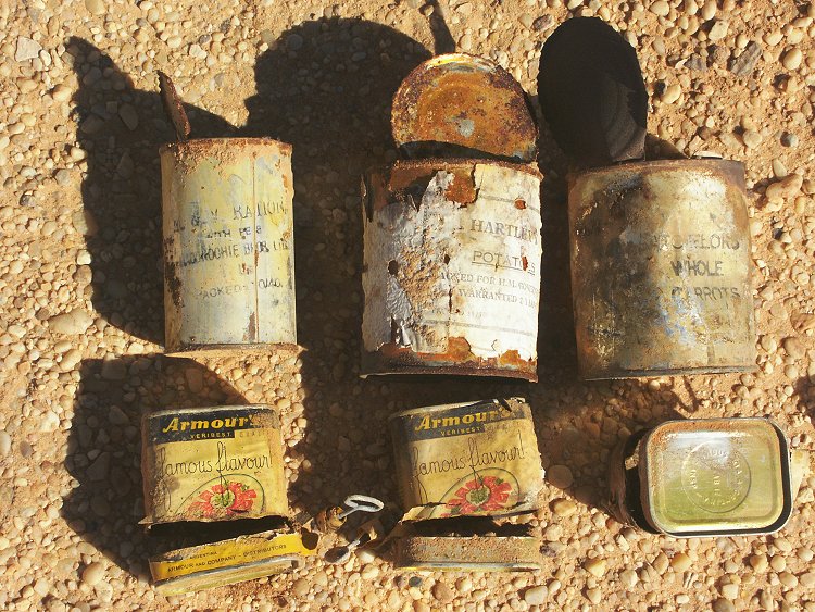
Out on the plain there are many reminders of the SDF Kufra convoys passing by. One rubbish tip contained many well preserved tins, with their original labels readable. Scattered bottles, petrol tins and box covers lie about, clearly Wadi Sora was a preferred camping spot for the convoys.
The afternoon was spent visiting the recently discovered sites in the Wadi Sora vicinity.
Day 11. - Wadi Sora area
The day was spent visiting the farther reaches of the Wadi Sora region. Leaving some of the group at the large new site for a detailed photo session, we set out to explore the broken country visible from Wadi Sora on the north-western horizon. The area turned out to be full of low eroded rocky hills, and a mushroom rocks, but nothing else of particular interest.
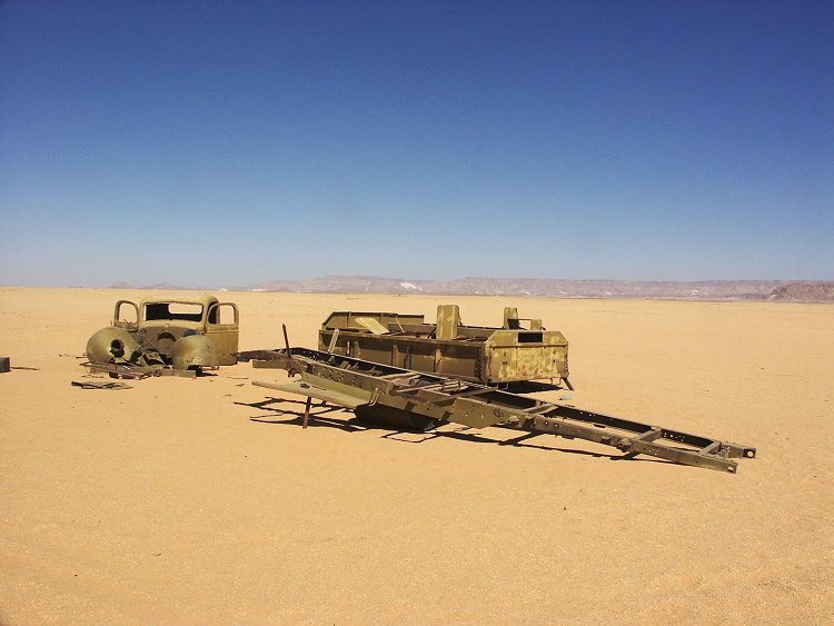
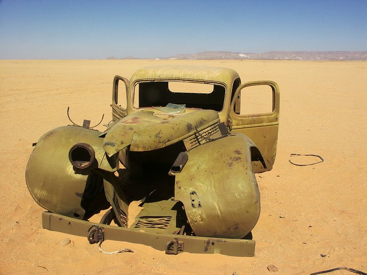
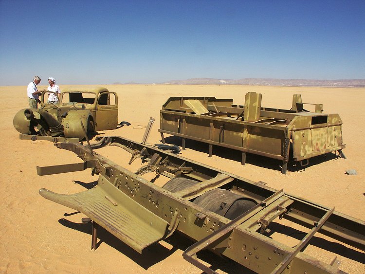
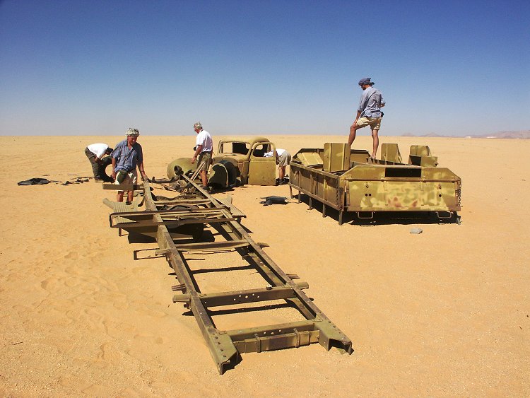
Far out on the plain, Zayed led us to a wrecked truck that he visited on an earlier trip. It was an 1940 Maple Leaf Chevrolet (manufactured under license by GMC Canada), which once served in the SDF Kufra convoys. It was picked clean of all usable parts, but the body and chassis remained in a remarkably good condition.
In the afternoon we wisited the sites in the valley east of Wadi Sora, and the sites further east found in November 2003.
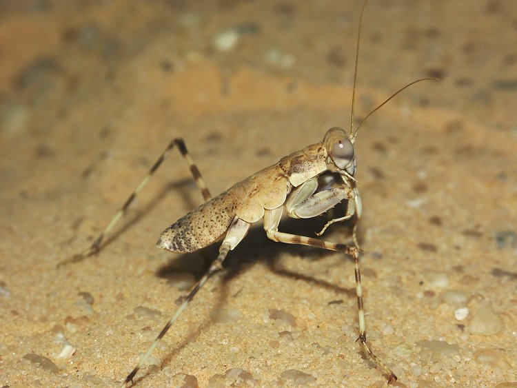
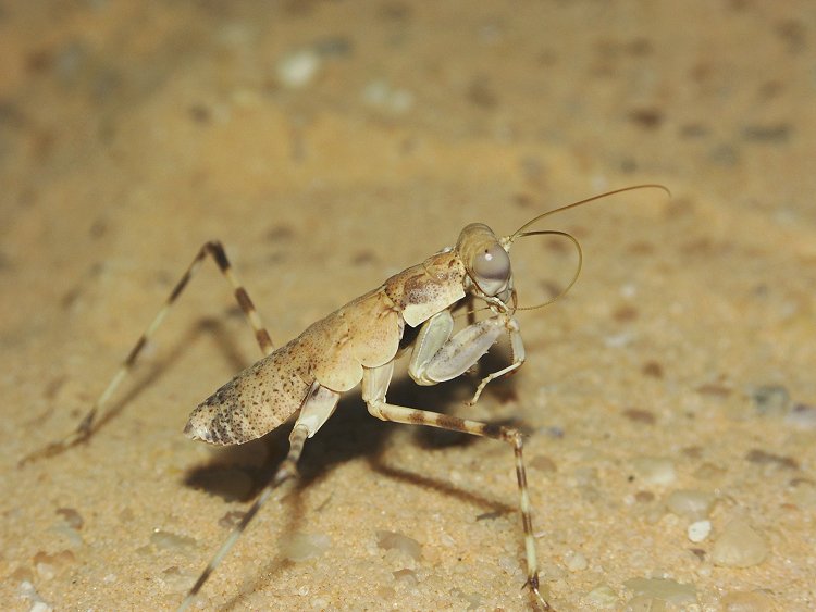
In the evening I managed to catch one of the large desert mantids at the camp (Eremiaphila species), managing a good shot from the side, clearly showing the two front clasping legs usually hidden when photographed from above.
Day 12. - Wadi Sora - Aqaba - Wadi Hamra
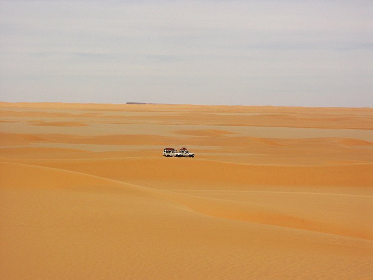
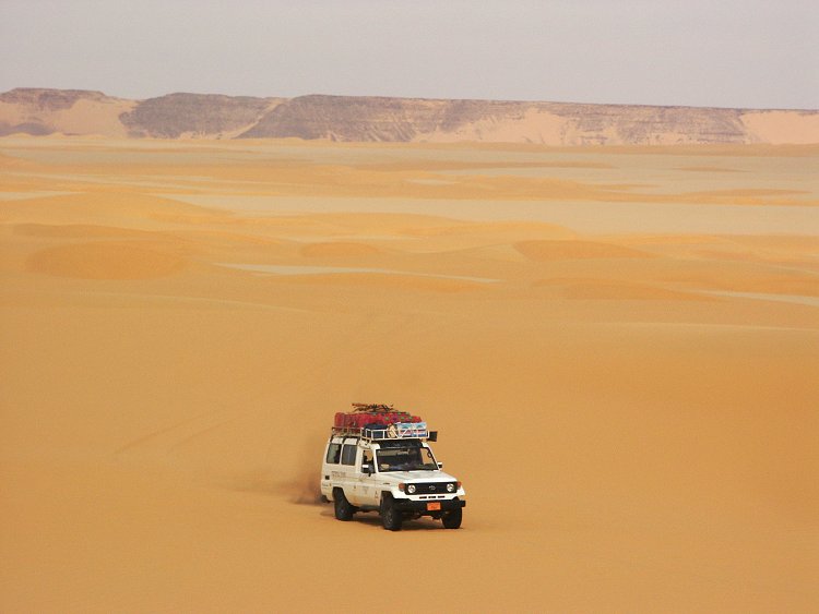
Early morning we drove back 50 kilometres to the Aqaba pass, and made it to the top in one go. We continued north along the "gap" dunes until the suitable crossing point. After a brief lunch stop we started the crossing, and was over on the other side in under two hours (a welcome change from our March 2000 experience), a much more comfortable way to Wadi Hamra than getting up to the plateau top, pumping up the tires, then descending again on the far side of the dunes.
We made camp near the big left bend of Wadi Hamra and spent the remainder of the cloudy afternoon walking in the valley, or climbing the cliffs above.
Day 13. - Wadi Hamra
The rock sparrows have followed us to Wadi Hamra, flapping about excitedly in the camp in the morning, as we set out to visit the engravings discovered by Rhotert in 1935.
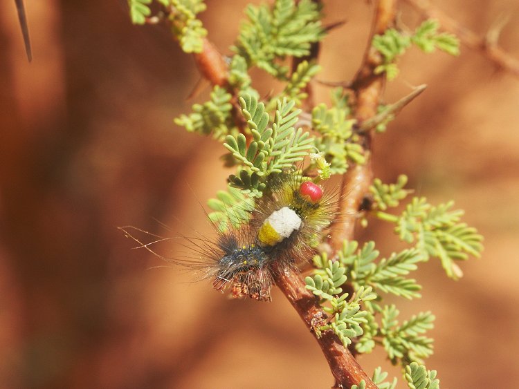
After the rock art sites, some time was spent exploring the side valleys and the vegetation, with a few surprising discoveries, including a brightly colored hairy caterpillar on an acacia.
In the afternoon we set out downstream to see the sites reporet by Giancarlo Negro & Friedrich Berger. Near the latter sites, we found a couple of engravings unreported to my knowledge by anyone else, including a particularly fine engraved giraffe.
Day 14. - Wadi Hamra - North-eastern Gilf Kebir - Libyan Desert Glass area
In the morning we re-visited the mid-valley sites in a different light, then drove north to a valley about 40 kilometres to the north of Wadi Hamra, where Giancarlo Negro and party found a large shelter with engravings. It was not evident on the published photos, that the shelter is located under a large dry waterfall, and is much larger than imagined. The rear wall contains some rather crude engravings, or rather scratchings of giraffe and cattle.
Before continuing north to the Libyan Desert Glass area for camp, we explored a side wadi to the north of the one containing the rock art site. The only object of interest was a single tamarisk growing in the lower courses of the wadi (exact species to be identified). Aside the one at the well at Jebel Arkenu, this is the only other known specimen in the central Libyan Desert.
Day 15. - Libyan Desert Glass area
We spent the whole day prospecting among the dune corridors, staying for a second night at our camp by the dunes.
Day 16. - LDG area - Big Cairn - Great Sand Sea
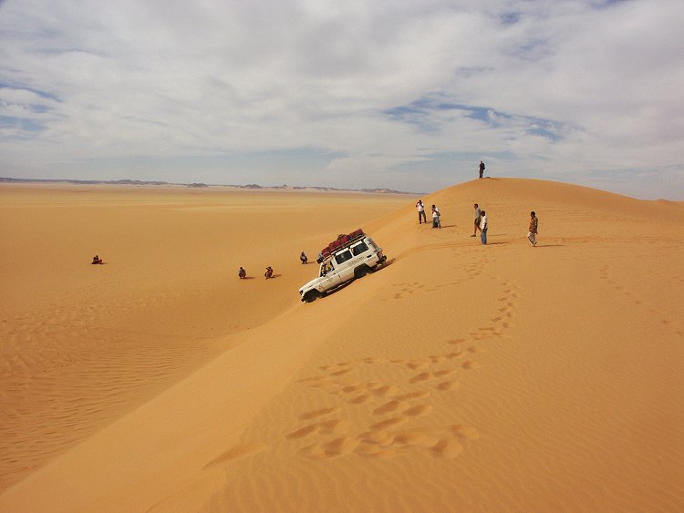
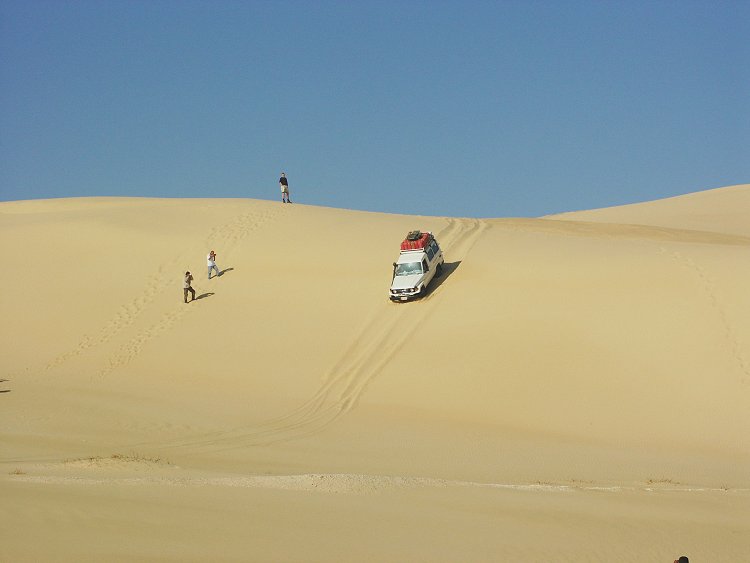
We started north early morning, and were at "Big Cairn" by lunchtime. We crossed most of the Great sand Sea in the afternoon, with Salama having some fun in the dunes, neatly placing the car on the top of a sand ridge with all wheels in the air, then grinning as we dug the sand away to let the car slip down the dune face. We made camp about 60 kilometres south of Siwa.
Day 17. - Great Sand Sea - Siwa
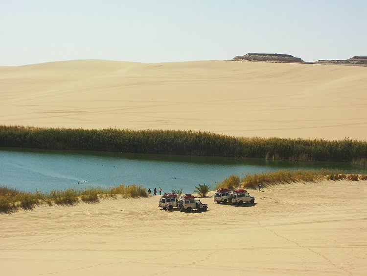
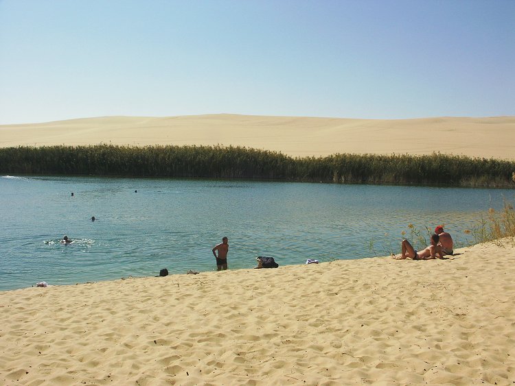
After a few more dune crossings, we reached the small artificial lake near Bir Wahed, marking the end of the 2200 kilometre desert loop. The bolder ones of the group took a dip in the rather cold water, before we drove into Siwa for a proper warm bath.
Day 18. Siwa - Mersa Matruh - El Alamein - Cairo
The last day was the long 300 km drive from Siwa to the Mediterranean coast, then on to Cairo, briefly stopping at the el Alamein museum.