
 |
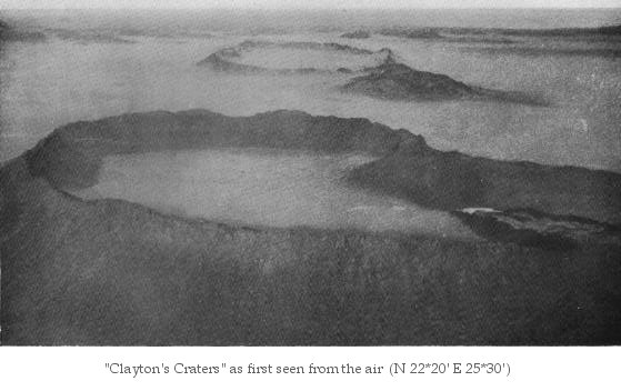
Clayton's Craters |
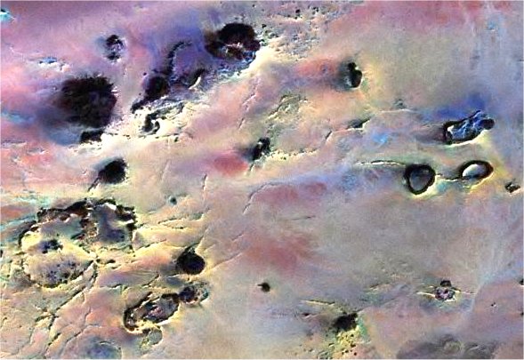
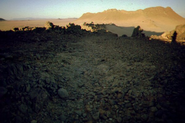
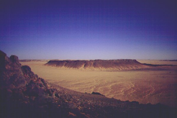
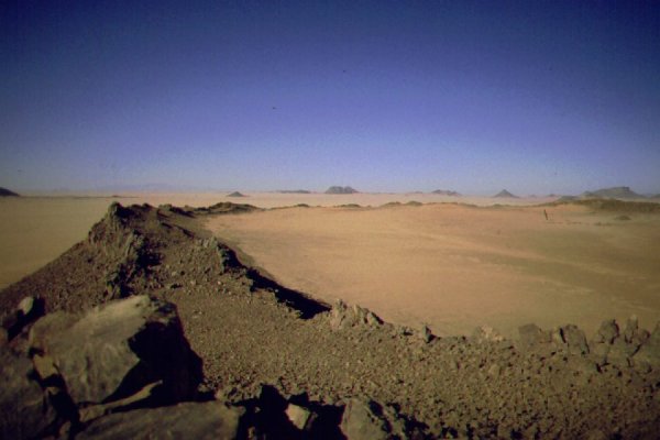
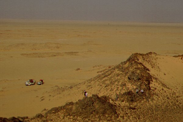
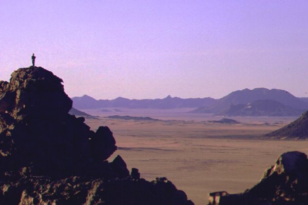
The plain between Uweinat and the Gilf Kebir is dotted with groups of low hills that from a distance resemble the other flat topped mesas of the region. It is only evident from the air, or standing on their rim, that the hills are ring like craters of apparently volcanic origin. They were first seen from the air during the 1932 Almasy - Clayton expedition by Sir Robert Clayton, hence their name.
The only serious study of the craters was done by K.S. Sandford, who accompanied the 1934 Bagnold expedition. During his limited time he determined, that the hills were ancient volcanic explosion craters. The rims of the craters are of sandstone, tilted vertical by the volcanic forces, and fused by heat on their inner sides. There traces of volcanic rocks (Trachyte) within some of the craters, and all craters are associated with dykes formed by two parallel uptilted rows of sandstone, filled with white trachyte in-between.
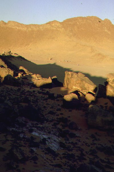
There are some curious features which make the exact origin of the craters somewhat a mystery. During our explorations of craters marked A, B & C by Sandford, it was noted that no ejected material was evident on the flat surrounding plain. An explosion forming craters 1-2 kilometres wide should have ejected large chunks of the nubian sandstone, as well as fragments of volcanic rocks. The craters are crossed by the dykes even within their rims, and the only volcanic material in craters A & B was found in between the dyke walls. (Crater C is partyally filled by white trachyte.)
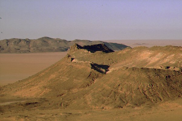
Crater A sits adjacent to a long dyke, its edge just touching it. It's an oval of about 1x1.5 kms, with the crater rim rising about 80 metres, and the bottom of the crater is almost level with the surrounding plain. There is a break in the rim where it meets the dyke, allowing for a full drainage of the interor. No volcanic material was found except along the centre of the dyke.
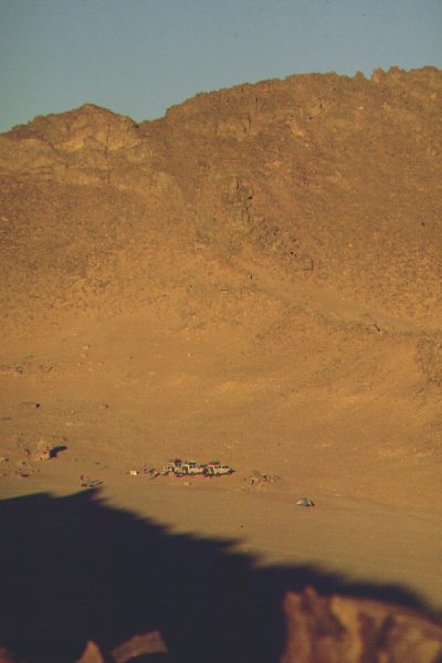
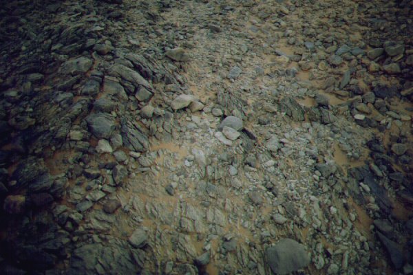
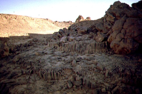
Crater B is substantially higher, rising to about 120 metres, and about 1.5 kms accross. Its almost circular, its rim is unbroken, except for a narrow gorge ending in a dry waterfall breaching the rim on the north side. The interior crater floor is about 80 metres above the surrounding plain, and shows evidence of temporary shallow lakes. The crater is crossed by a dyke that continues outside the crater on both sides, and volcanic material is only associated with this dyke. At one point within the dyke where it crosses the crater, a small group of eroded hexagonal colums of grey volcanic rock is apparent. Outside the dyke there are a number of rocky ridges crossing the crater floor, all of sandstone. The only evidence of prehistoric habitation was a broken grinding slab inside the crater, and a typical millstone found on its outside talus slope.
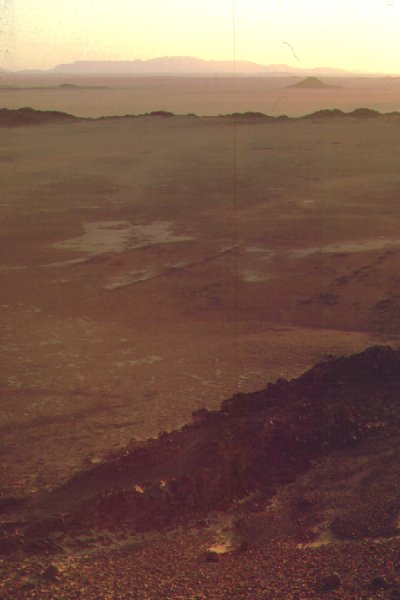
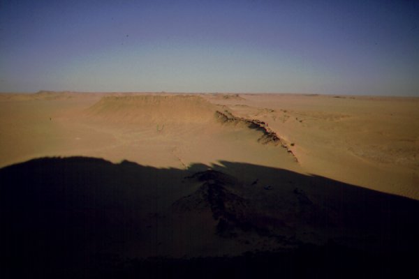
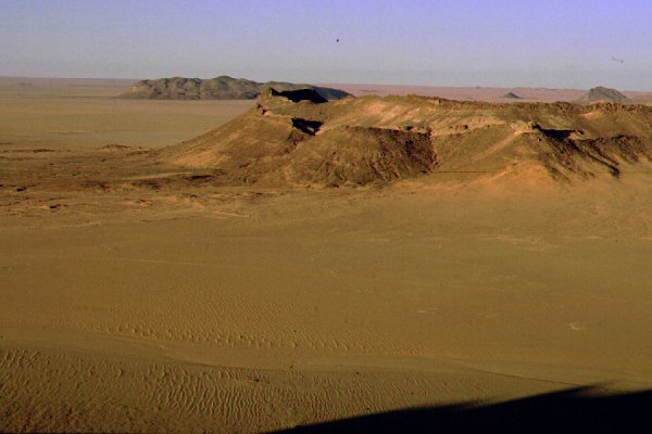
Crater C is about the same height as crater B, about 1.5 kms across, with white trachyte filling much of the crater interior. There is a break in the rim on the north side, and the soft white volcanic rock is much eroded, with a small wadi draining through the gap onto the plain. On the south side the crater has a double rim, and the relatively flat area, offering full command of the surrounding plain, shows evidence of prehistoric dwellings and is littered with late paleolithic tools flaked from the fused sandstone of the crater rim.
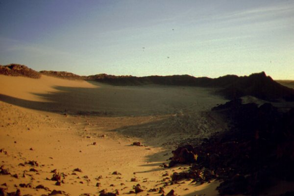
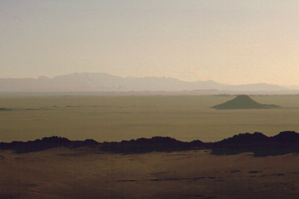
Lying farther off the main group (in the distance, beyond crater C on photo), crater D is fully capped by gray trachyte, while crater F is a small perfectly round ring with an empty crater.
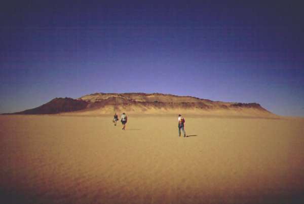
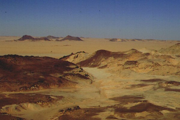
Further north, close to the southern tip of the Gilf Kebir there are two more groups of similar structures. During out 2000 march expedition we have visited one crater in the field lying N 22*30' E 25* 54', and found it to be very similar in size and structure to crater A.
Based on the ground evidence, there is much uncertainity in the formation of the craters. It is evident, that they were formed after the bedding of the Nubian sandstone (mid Cretaceous), and clearly volcanic forces have formed them, as attested by the heat fused interior of the uptilted crater walls. In some places (like in Crater B below) the fused sandstone weathers into small hexagonal columns like basalt, just on a much smaller scale.
It's unlikely however, that any volcanic explosion took place (on account of the lack of ejecta - even if erosion removed the smaller bits, large chunks of sandstone should litter the surrounding plain), more likely it was a slow upthrust of magma, that also explains the almost perfectly vertical walls. In some craters the magma remained, while in others it fully subsided, leaving empty craters only containing sandstone from the erosion of the rim. The associated dykes are similar in structure, and of a later date indicated by their unbroken crossing of some craters, the magma having welled up along a fissure rather than as a cylindrical mass.
However this explanation still leaves some mysteries. If the dykes are later, how could the vertical sandstone walls form inside a crater where the sandstone was supposedly punctured by a previous upheaval. Also there is no explanation for the sandstone ridges crossing the inside of crater B. Obviously there is plenty left for a serious geological survey to uncover.

|

|

|