
 Click on image for list of participants |
Jebel Uweinat - Gilf Kebir Expedition 21st October - 3rd November, 1998 |
After the failure in 1997, mostly the same team assembled in October 1998 for another try. Before start we received numerous assurances that the premits are in order, and there will be no delays at any checkpoints. This proved to be true, but officialdom and the desert showed they can still come up with unpleasant surprises...
Day 1. - Cairo - Minia
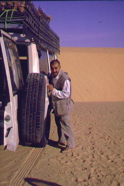
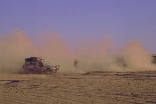
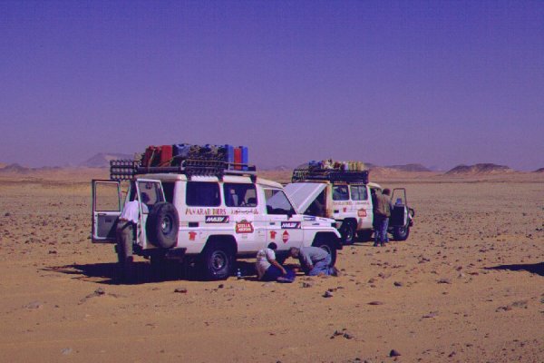
We started at dawn from Cairo airport, this time trying the new road that runs along the west bank of the Nile about 5-10 kilometres inside the desert till Assiut, joining the Kharga road there. We were expecting to be in Kharga by mid afternoon, but the combined efforts of Egyptian officialdom and fate intervened: After covering 350 kms, at one checkpoint we were suddenly told that this new road cannot be used by foreigners, and we must join the Nile valley road and proceed with a police escort. (This system was introduced after the Luxor attacks, and is in place ever since for all but the desert roads). No amount of objection could sway the policemen, so we had to wait several hours for the escort to materialize, two battered armored Mazda pickups with 3-4 very frightened looking policemen in each fiercely pointing their AK47-s in all directions. We continued with one in front, one in the back, sirens wailing, advertising the presence of foreigners to anyone who would otherwise not notice. It soon became evident, that with all the armor plating, the pickups could not do more than 50 kph. We crawled along for a half hour, until the pickups stopped - we were told that they only come till here, now we have to wait for the next escort to pick us up and continue. Now we have realized - the AK47-s and armor plating is primarily there to protect the policemen from mad foreigners! This time however the wait was only half hour, and the next escort proved to be better equipped, with larger and stronger Chevy pickups, so we could continue at our normal pace. The local traffic took little heed of the escort and us, and just before Minia a small pickup coming from the opposite direction decided that it can turn left between the police car and the first Landcruiser - it could not. We hit the pickup broadside at full speed. Fortunately the mass and momentum of the cruiser shoved it to the side, no one was hurt save for a few bumps and bruises, but the front of the cruiser was a mess. In seconds a huge crowd of agitated spectators assembled, and in the ensuing comotion one of our GPS sets were pinched. In retrospect, the situation was dealt with with surprising efficiency. In five minutes a senior police officer was on the scene, soon a towtruck arrived, and in less than an hour we were in a hotel in Minia. There was no question of fault, and all paperwork was sorted out with full courtesy. The fact that the whole mess was caused by the police not allowing us to continue on the safe and uncrowded desert road was left tactfully unmentioned by both sides... The agency providing the cars delt with the matter with similar speed, and by the evening a replacement car was in front of the Hotel, ready for departure the next morning.
Day 2. - Minia - Kharga - Abu Moharig dunes
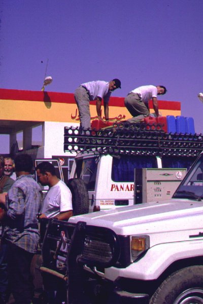
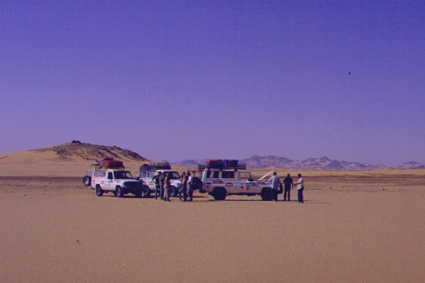
At dawn we continued, the police having escorted us on to the desert road on the east bank, leading till Assiut. Once there we were left to proceed unescorted. Noone could answer why it is permitted to drive unescorted on the eastern desert road, but not on the other side... At Assiut junction we were expected by a solitary regular police car that whisked us through the still sleeping town, and left us on the Kharga road. We were in Kharga by noon, filled our fuel jerrycans, bought firewood, and continued south.
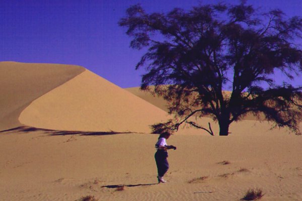
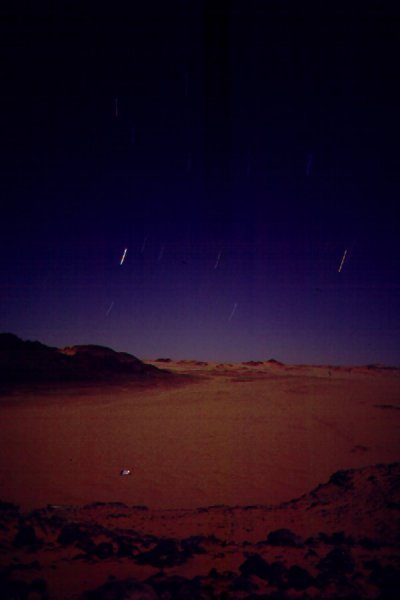
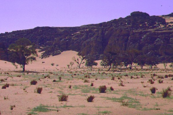
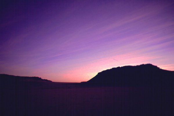
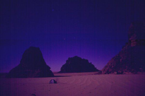
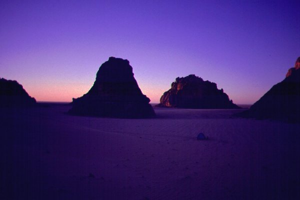
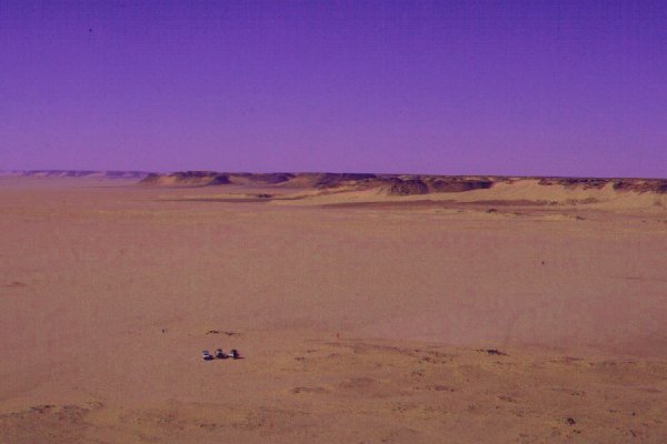
We had a few anxious moments at the last checkpoint before leaving the oasis south, but all the permits were in order, after some scribbling the soldiers waved us through. By then it was rather late in the afternoon, we made our first desert camp among the Abu Moharig dunes, about 30 kilometres to the south of the last village, somewhere near the spot where Almásy and Lichtenstein spent their anxious last night coming from the south in 1929.
Day 3. - Camp - Darb el Arbain - Bir Terfawi - Abu Hussein dunes
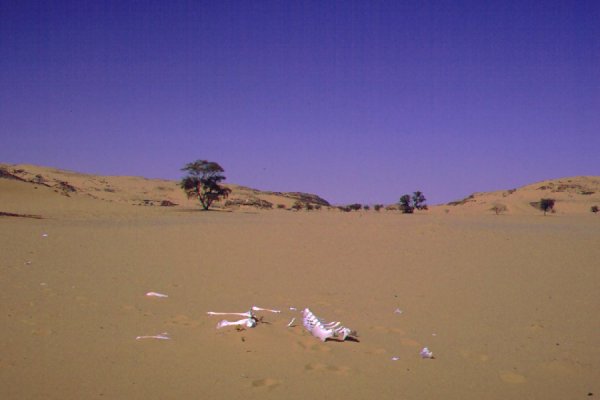
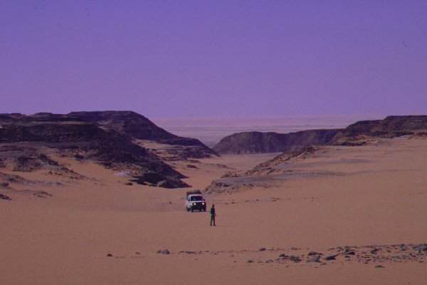
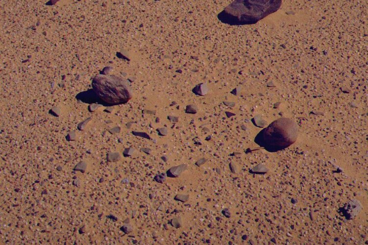
We continued south along the surfaced road leading to near the Sudan border along the old course of the Darb el Arbain. The side of the road on both sides is littered with camel bones and an occasional complete skeleton. At a point we left the road to film, and the more than 100 year old camel tracks were still faintly visible in the flat gravel plain.
Near Bir Abu Hussein we turned west on a road that connects to the road coming south from Dakhla near Bir Terfawi. We stopped for some time at the tiny oasis, no more than three palm clusters and a number of tamarisk mounds at the bottom of a shallow depression indistinguishable from the surrounding flat country.
The moment of truth came at the checkpoint at the junction of the roads a few kilometres beyond Terfawi. Our permits were thoroughly examined, then with well wishes we were free to continue into the flat emptiness beyond the road. We drove on the flat sand sheet till near dusk the silhouettes of the Abu Hussein dunes appeared. We made camp in the lee of a large barchan.
Day 4. - Abu Hussein dunes - Jebel Kamil - Camp
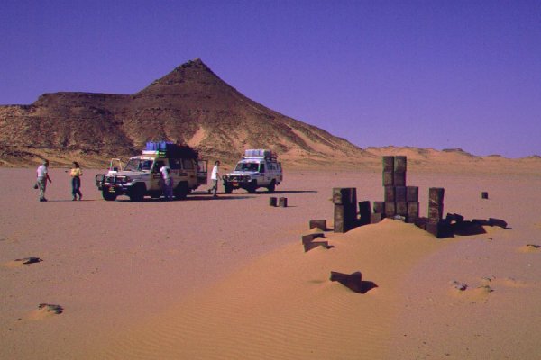
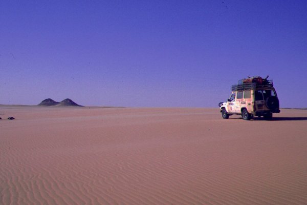
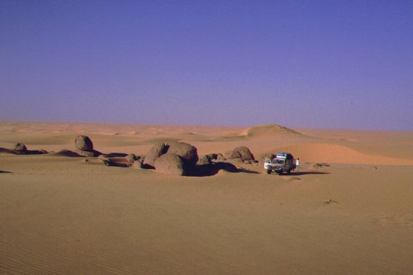
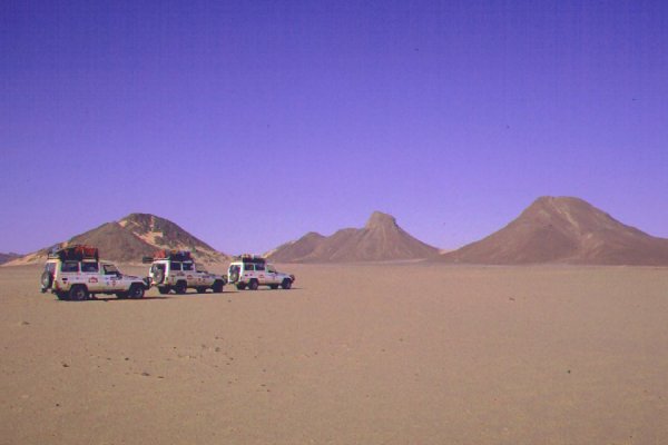
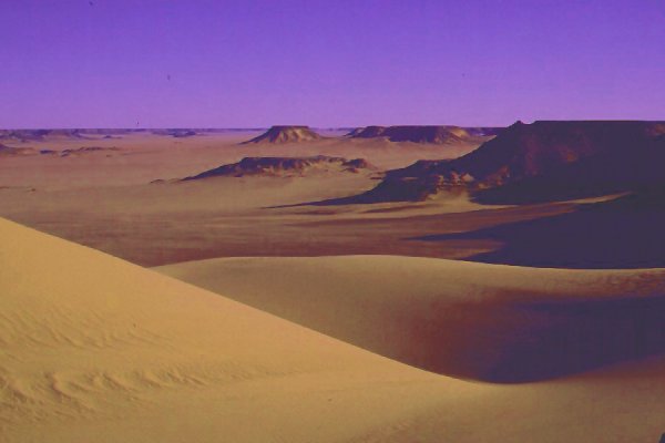
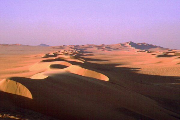
All morning we drove along the perfectly flat plain of the Selima Sand Sheet. Occasionally we would notice a dark speck on the horizon, usually turning out to be an old discarded Shell petrol tin, or a dead bird. We struggled a bit with the dunes near the half way point to Jebel Kamil. The Survey of Egypt maps plot patches with clearly defined contours, but in reality the belt of jumbled barchans is near continuous, with some places easier to cross than others. At the time we tried a not-so-easy spot, and spent two hours getting the heavy bogged cars accross the dunes. (Now we know, that less than 5 kms from that spot there is a place where one can drive through in 5 minutes without having to use 4WD.) After the dunes the sand sheet continued, and the pyramidal peak of Jebel Kamil appeared on the horizon when exactly 60 kilometres away, like a giant desert beacon. At the foot of the hill we found a depot of WWII era petrol tins, from the time when Jebel Kamil was on the tracks of the Kufra supply convoys.
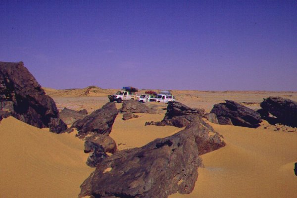
Beyond Jebel Kamil we soon encountered another dune field. As we drove north along it to drive around, we found a cluster of extremely picturesque exposed granite boulders sitting in the middle of the dunes. Unfortunately we also found, that the eroded flanks of the granite mass are covered by fine dust of flour consistency, where the heavy cars sank to their floorboards in no time. Recovery took over an hour, and it was past sunset when we were still driving north along the dunes, long past the point wehere according to the map they end and can be rounded from the north. Finally more than 20 kilometres more to the north than expected from the map the dunes ended suddenly, and we could turn west again, and made camp in the lee of some low hills on the far side of the dunes.

Day 5. - Camp - Jebel Uweinat
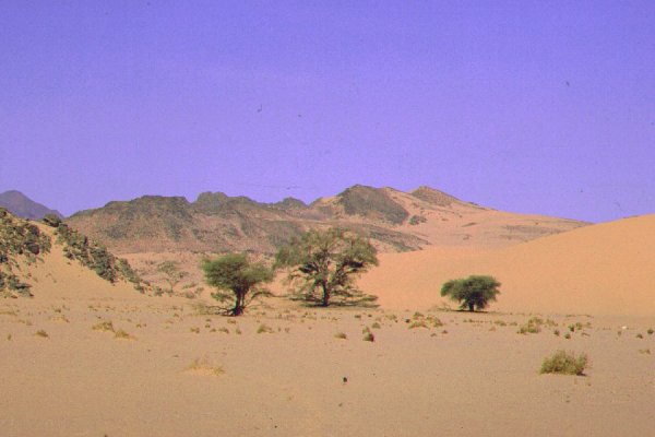
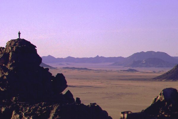
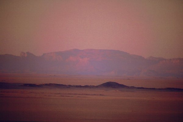
Beyond the dunes the ground changed, broken rocky hills and outcrops made going difficult. After two hours we noticed a darker haze on the horizon, which became bigger and more distinct as we neared - Jebel Uweinat, still over 50 kilometres away.
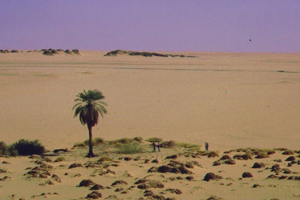
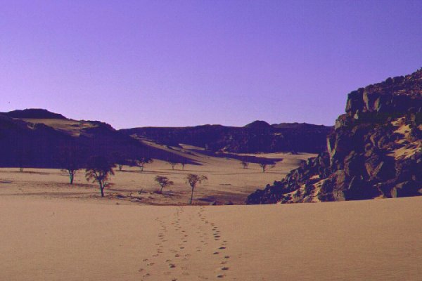
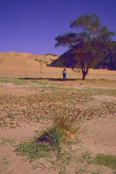
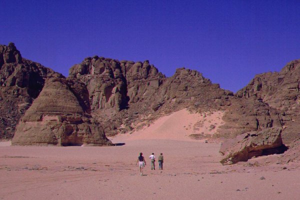
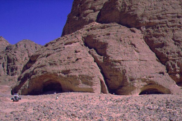
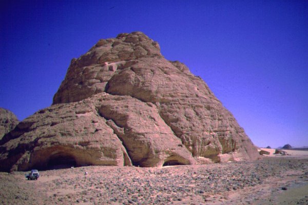
We reached the plain at the foot of the mountain, and started searching for the mouth of Karkur Talh. Both the map and satelite photos were very vague on how and where the valley enters the plain, so we had no idea which gap in the low foothills could be the true entrance. Soon however fe saw a clue that was better than any roadsign: two dark specks at the foot of the hills that proved to be two trees through the binoculars. When we reached them, we saw that the valley ends in a fairly narrow mouth approaching the plain at an angle. Without the trees we would have passed by without ever looking closer.
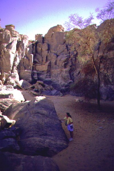
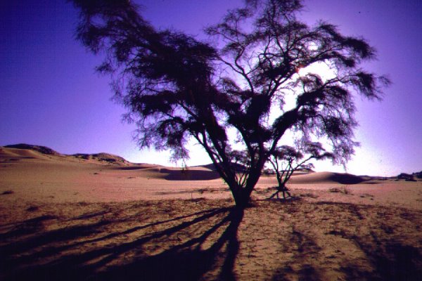
Beyond the trees we saw something else, less inviting. A barbed wire fence blocking the valley, with a rusty sign saying 'mines!' in arabic. Beyond the fence, a few large antitank mines were clearly visible, half uncovered by the wind. It was a clear no go for cars, but there was a clear footpath along the right edge of the minefield a little up on the side of the valley. The television crew were clearly uncomfortable, so we walked in to the valley with Magdi to explore. The valley had a strange, deserted, out of this world athmosphere, with the surreal contrast of green trees among barren black rock and golden sand. This lone first walk into Karkur Talh counts among our most cherished desert memories.
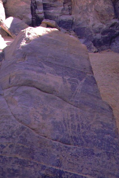
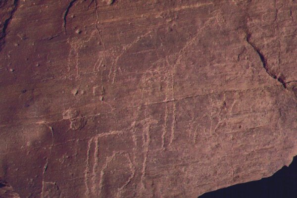
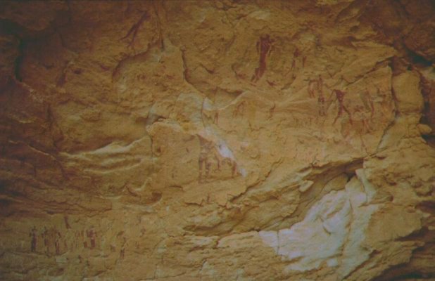
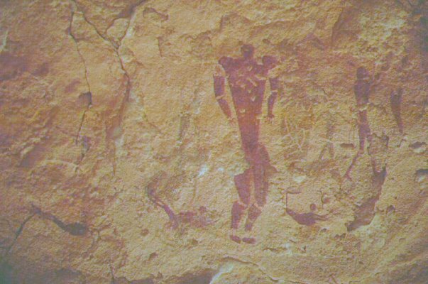
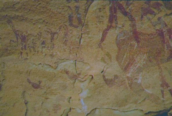
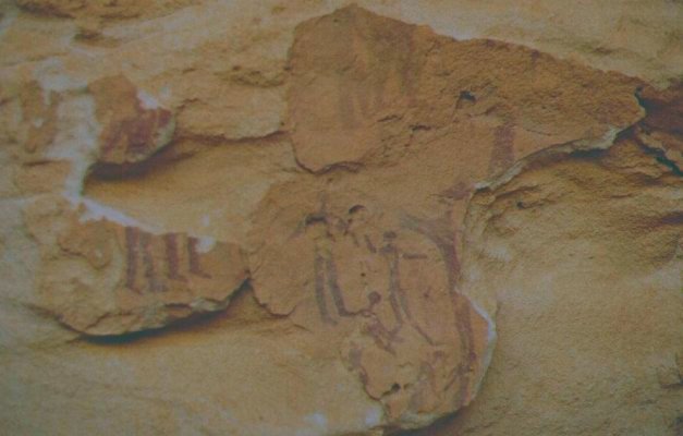
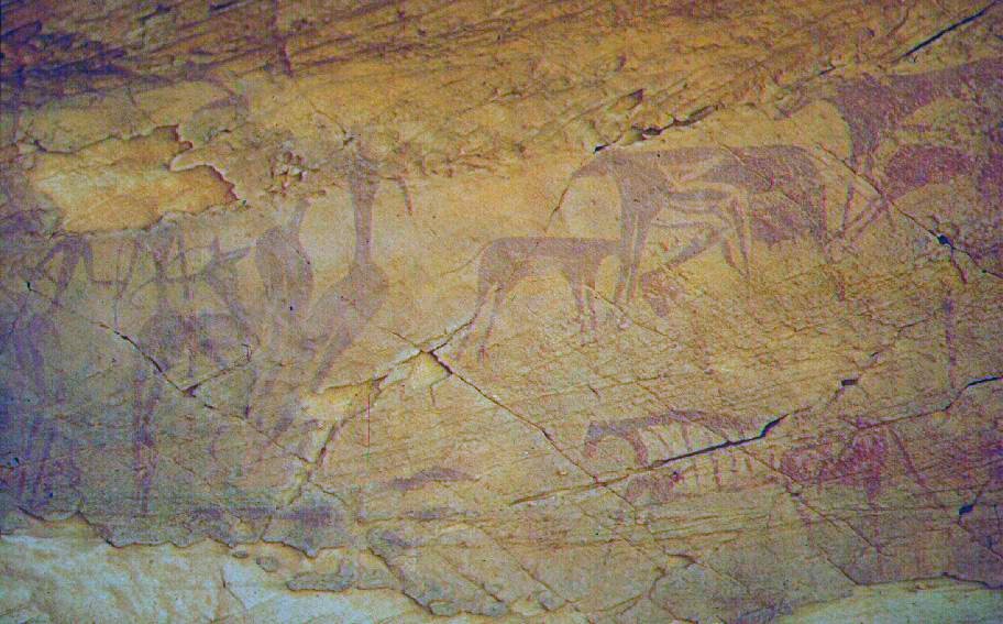
We walked in for about 4 kilometres, passing the clearly recognisable campsite of the Belgian expedition. Other than very faint old tire tracks, probably from the same period, there was no other sign of human intrusion. Only the footprints of gazelle, foxes, waddan, and a few scattered camel skeletons. We had no idea about the actual location of any rock art sites, just followed my instincts. We approached a little cove with a mass of jumbled large rocks, and a clear dry waterfall on the cliffs beyond. It did not take long to find the first pictures of giraffes and other animals, engraved on a large rock, followed by many others in the surroundings.

We could not explore further, as we agreed on a set return time with our companions. Once back, we drove north to the lee of a series of low hills to make camp.
Day 6. - Jebel Uweinat - Clayton's craters
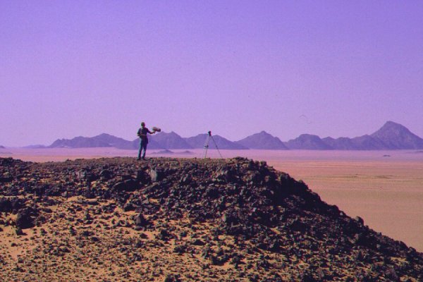
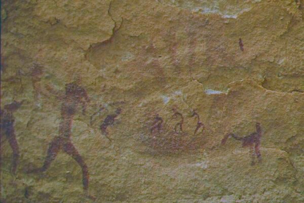
In the morning we returned with the whole group, to film the sites in the small cove.
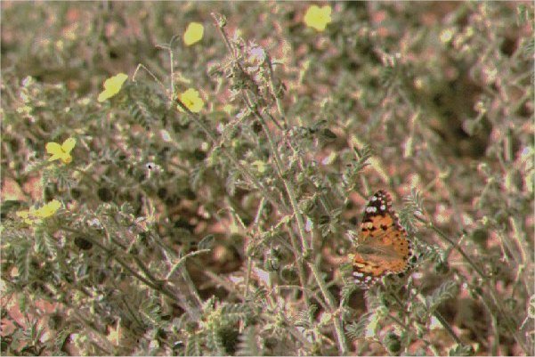
While the crew worked, me & Magdi decided to explore the valley further. We followed the line of trees in the bed of the watercourse for a further 4 kilometres, passing a huge slanted slab of very ancient rock that looks as if a hill sized brick was dropped into the soft sand of the valley. After a bend, nearing the Egypt-Sudan border, we were met with an amazing sight. It must have rained only a few months earlier, and the crusted lip of the end of the water flow, where it finally disappeared into the sand, was clearly visible. Upstream from here, the whole bed of the watercourse was covered with bright green plants and yellow flowers, and we walked in a cloud of thousands of butterflies. It was an amazing sight, surrounded on all sides by barren lifeless rocks and sand.
In the afternoon, as we returned to the valley mouth, we noted that the left side of the valley's mouth is covered by a large low dune to the right of the mine field, which offers an unblocked entrance for cars. Unfortunately we had no time to further explore the valley. We drove north along a good hard plain till the group of craters discovered by Robert Clayton from the air in 1932, passing close to the two distinct volcanic hills, Jebels Peter & Paul along the way.
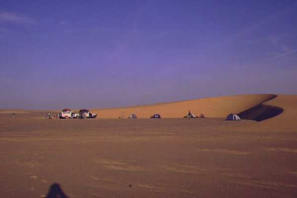
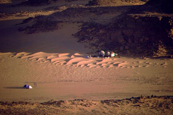
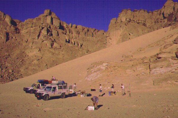
We made camp between the two largest craters, and spent the late afternoon exploring the craters and their vicinity.
Day 7. - Clayton's craters - Wadi Sora
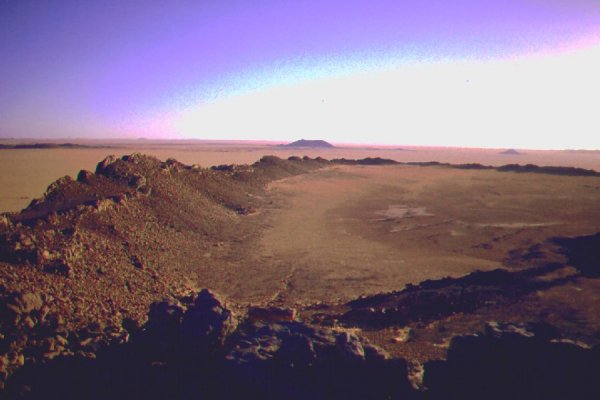
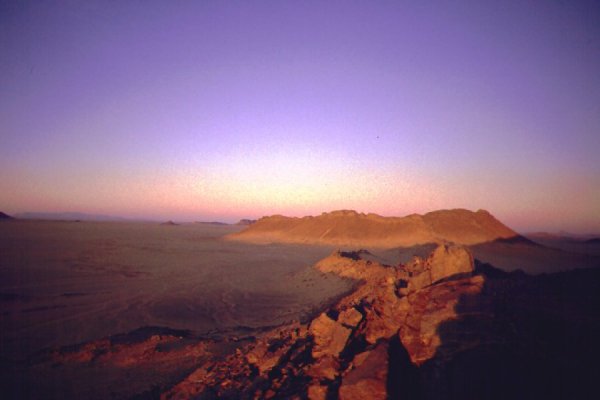
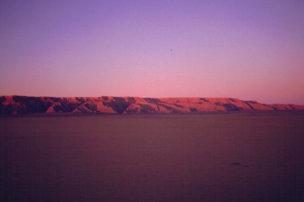
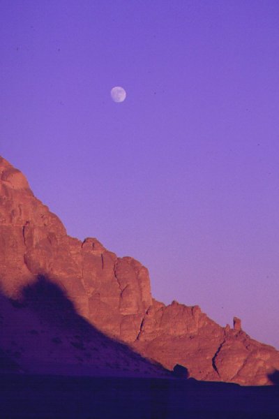
In the morning we had a fantastic view of Jebel Uweinat in the light of the rising sun, turning everything into hues of pink to golden orange.
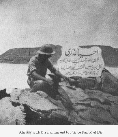
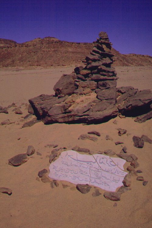
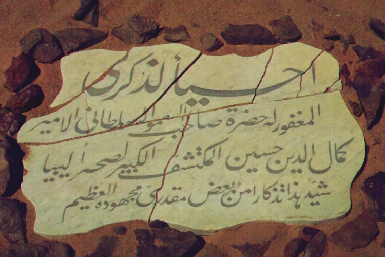
We set course for the southern tip of the Gilf Kebir, to locate one of the main objectives of our trip, the marble tablet erected by Almásy in honour of Prince Kemal el Din in 1933. Our only clues were a marking on the Survey of Egypt map, and Almásy's photo. We reached the spot marked on the map by mid-morning, and started systematically exporing the area. After two hours, finding nothing, we were close to giving up. We went through the whole area, photo in hand, trying to match the plateau and flat plain behind Almásy to the actual terrain, without luck. András, our cameraman, decided to take one of the cars with Mustafa, and search closer to the cliffs. In 30 minutes we saw the car race back, headlights blinking ! They found it, very close to the edge of the foothills, guided by a little cairn on the top of a hill. It turned out, that what we took to be the cliff face on the old photo was just a 30 metre high small hill a hundred metres beyond the monument. As we tried to match the perspective with the main cliffs of the Gilf, we were searching about four-five kilometres to the south of the true location (also the map had the same position error). The tablet was lying on the sand, broken, but all pieces assembled. There were a number of notes in an old tin box left there by a few previous travelers, the oldest being that of Reinhart Mazur from 1983. However we were the first Hungarians since Almásy and Dr Kádár erected the tablet 65 years earlier.
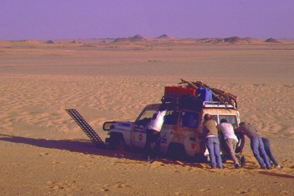
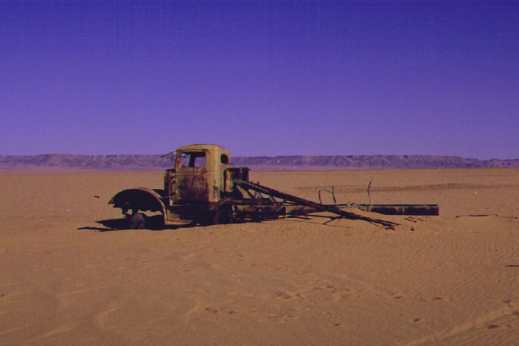
After leaving our own note, we continued north along the western side of the Gilf towards Wadi Sora, passing the wrecked WWII White truck, and "three castles" on our way. It was before the truck that we started hearing unusual noises coming from the gearbox of the lead car, a quick stop revealed oil dripping from a crack in the gearbox, and on closer inspection we found that there was practically no oil inside ! This was the replacement car we receiced in Minia - all the others have been rigorously inspected and tested by Khaled before the trip. With a syringe from the medical chest we squirted some motor oil into the gearbox, and made our way at a slow pace towards Wadi Sora, repeating this exercise every half hour. We reached the valley by the evening, and camped by the dune at the end of the valley.
Day 8. - Wadi Sora
The day was spent filming and photographing the famed rock art sites. Based on Rhotert's published photos and copies, we could determine that the paintings were much in the same state as at time of their discovery in 1933, despite recent reports of damage. Unfortunately the undecorated rock in the right of the main cave is disfigured by several modern grafittos, the most revolting being two names of the 1968 Belgian expedition, right among some paintings !
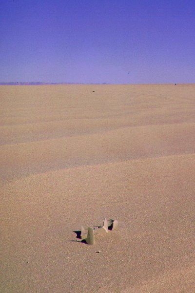
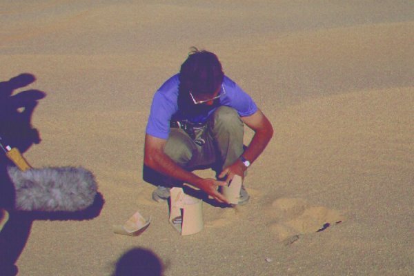
Near our camp by the dune, we have come upon a few broken mortars and grinding stones, and a polished stone axe of diorite. This strange implement is unlike any I have seen in the central Libyan Desert, but closely resembles those found by Newbold & Shaw in the Wadi Howar, some 800 kilometres to the south. In the afternoon we set out with two cars to try to locate the site of Almásy's 1932 Chianti Camp. At the position reported by Alm&aasy all we found was a flat sand plain. A row of empty petrol tins nearby could have served to mark the landing ground for the Moth, but they could have served an equal purpose or as roadmarks during WWII, as the Kufra convoy tracks passed just there. We did find a shattered stoneware jar, that turned out to be a LRDG Rum Jar on reconstruction. Later outside Wadi Sora our sound engineer, Sándor got thoroughly dusty while recording car engine sounds - the drivers enjoyed it though :)
There was little we could do to repair the stricken car. The gearbox housing was cracked, and any oil put inside dripped out almost immediately. We had no extra gearbox oil, only motor oil, so our plan was to drain about 1 kg of gearbox oil from the other two cars, then with a syringe squirt a little into the cracked gearbox every half hour or so, after some cooling.
Day 9. - Wadi Sora - Aqaba pass - "Gap"
With three oiling and cooling stops, we made it to the entrance of the Aqaba pass, instantly recognizable from the plain. It remained a mystery how Almásy could "miss the entrance" as he wrote in his Operation Salaam diary, As we got closer we understood. The flanks of the Gilf are straddled with football sized rocks and low spurs, with the only passable ground being the beds of little wadis coming down from the cliffs. One such wadi leads to the Aqaba, but all others rach a dead end, and with Almásy's cars it was impossible to make the traverse accross the rocky ground. It was difficult enough for the Landcruisers, and it took us about an hour of justling and jolting over dismal terrain before we hit upon the correct entrance. Once inside, we found the gently sloping sandy wadi relatively easy going. At that time there were no fresh tracks, and the sand was firm except a smaller area in the middle, and near the top. We were much relieved that the damaged car got up in one go, without having to torture the gearbox too much. The second made it up too without mishaps, only the third required the sandplates and some pushing in the soft patches at the middle section.
We continued north in the broad valley of the "Gap", and made camp near the place where the valley broadens and the tongue of the Great Sand Sea juts into it's middle.
Day 10. - Camp - "Gap" - North-east Gilf
We decided to leave the stricken car at camp, and to make an attempt to cross the "Gap" dunes into Wadi Hamra for a day. We explored a number of side wadis, and the southern tip of the dunes where they jut against the cliffs of the plateau, but found all possible routes blocked. We saw a few doubtful looking passes, but always the difficulty of the return way prevented trying them. My midday we conceded defeat, and returned to camp.
In the afternoon we started our return journey. We planned three days for it, but with the stricken car our going was much slower. We started towards the North-east corner of the Gilf, stopping every 30-40 minutes for a 15 minute cooling break and a squirt of oil. This way we made it to the dunes at the corner of the Gilf by sunset.
Day 11. - North-east Gilf - camp before Abu Ballas
On our first cooling stop of the day we noticed, that due to the excessive heating a part of the gearbox housing has crached away, and there was a two-inch hole where any oil put inside got splashed out immediately. The hole was in a very inaccessible spot, we plugged it with a piece of carved wood the best we could. while the fix was made, I sat down on a comfortable looking rounded rock. looking at my feet, i saw that the same rock was used by someone for the same purpose many thousands of years ago. A neat pile of waste chippings lay in front of the rock, together with the hammer stone that was used to make a stone tool py a paleolithic hunter, seated exactly on the same rock.
Changing gears became increasingly difficult, and the gearbox was smoking distinctively after a 30 minute drive. By repeating the stopping, cooling, oiling cycle, we limped a distance of 200 kilometres that day, something we would have comfortably covered in lass than a half day otherwise. We hoped to reach Abu Ballas by the evening, but camp was still 80 kilometres before.
Day 12. - Camp - Abu Ballas - Australia pass
The gearbox got stuck in third gear, and was starting to make alarming sounds. In one quick dash we reached Abu Ballas accross a flat plainoffering easy going. After having a look around and filming, we continued accross the plain. The good going gave us an idea: instead of going on it's own power, we could tow the sick car, reducing the strain and friction on the gearbox. While the gears were still turning, as we could not take it out from third, at least there was no power transmitted, and the noise was clearly less. We still had to stop frequently for cooling, and in places of bad ground had to drive the car on it's own power, but we made better progress, and by late afternoon we reached the tarmac road just south of "Australia Pass" After towing the stricken car up the pass, we made camp amongst some dunes near the top.
Day 13. - Camp - Dakhla - camp in dunes before Bir Abu Mungar
After some excitement caused by a small almost transparent small scorpion under one tent (the only one I ever saw in the Western Desert), we continued, towing, towards Dakhla. On the outskirts of the town, the gearbox started making awful rattling sounds, and smaller pieces started dropping to the pavement. At a speed bump just 500 metres from the main square in Mut, with an awful cracking-crunching sound the whole assembli fell apart, and the four wheels seized immediately. Incredibly, the car made it back to Dakhla over 900 kilometres, all except the last 200 under it's own power, without hardly any oil in the gearbox. Our full compliments to Toyota ! The stricken car was packed on a lorry towards Cairo, while we took a wash and a cold beer at the Mebarez hotel in Dakhla before continuing north with the two remaining cars. For the night we camped at the edge of the Sand Sea near the road, before Abu Mungar.
Day 14. - Camp - Cairo
The last day was spent with the uneventful drive back to Cairo.
Epilogue
The film crew shot over 30 rolls of 16mm film during the trip. Unfortunately unbeknown to us, the exhaust pipe of the car carrying the supplies and the exposed films had a leak, and heated the baseplate just under the exposed films box, that we purposefully placed in the centre of the car, to the most sheltered and supposedly coolest spot. We only found this out when unpacking - the lower portion of the film box must have been heated to well over 60 degrees celsius. This spoiled most of the shot material, only about 15-20 minutes worth of useable footage could be recovered, missing some critical parts. The Almásy documentary was never completed.