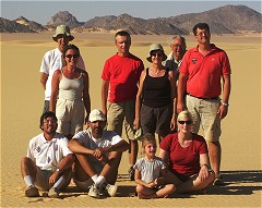
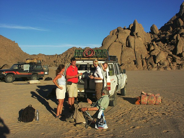
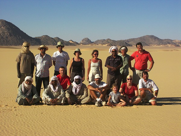
 Click on image for list of participants |
Jebel Arkenu - Uweinat Expedition, Libya 18th October - 3rd November, 2003 NOTICE: The rock art photos on this page are strictly copyrighted ! No photo may be copied / used for any purpose without written permission. |
Day 1. - Tripoli - Sebha
Flight schedules changed, with only a daily evening flight to Sebha, so we decided to take a bus straight from the airport. We flew together to Triploi on the overnight Malev flight, were met by Arkno representatives, and the bus was at the airport. It soon transpired that the police does not allow foreigners to travel at night (it was 3am), a foreboding of things to come... To cut the long story short, hotel in Tripoli, then a long wait for the police escort to materialise (a reserved young lad of about 20, who had the unnerving habit of playing with his loaded pistol at every opportunity), finally leaving at midday, getting in to Sebha by the evening.
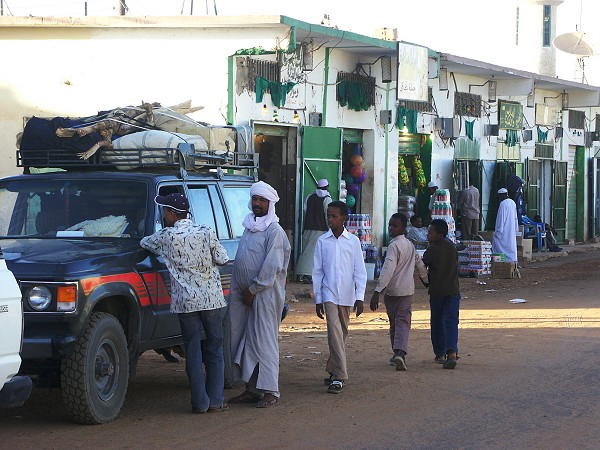
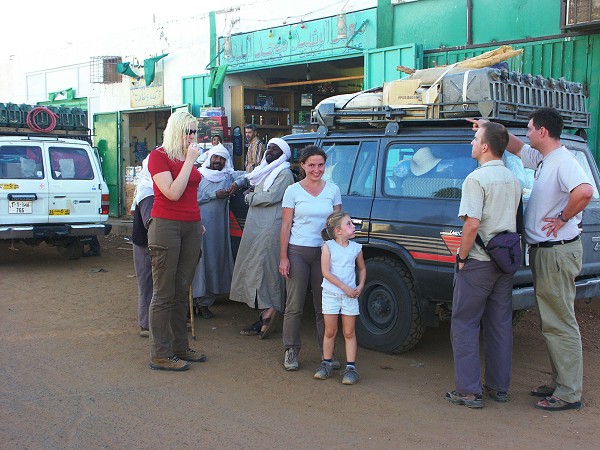
Day 2. - Sebha - Timsah
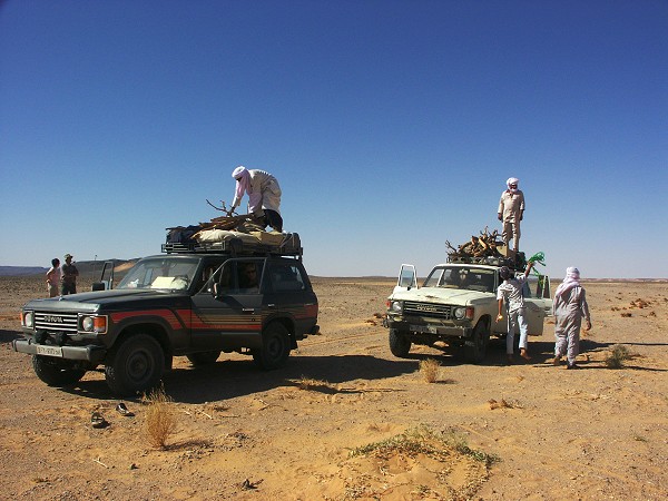
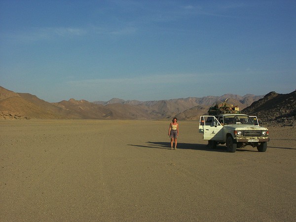
Unfortunately our excellent drivers from Alawy of two years ago were not available, Alawy having gone out of business due to some unclear skirmish with the tourism authorities. The new lot were an unknown quantity, but the cars were reasonably sound, and equipped as needed, so we set out buying supplies and loading the cars, finally hitting the road at midday. We reached the dunes beyond Timsah by nightfall, where our desert 'guide' was to be picked up the next morning.
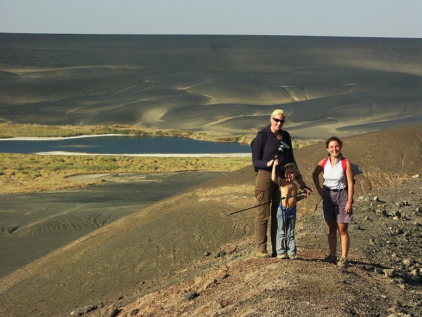
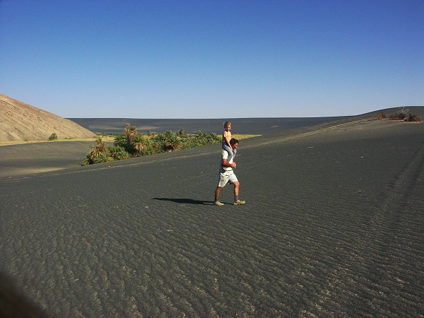
Day 3. - Timsah - Wau Namus
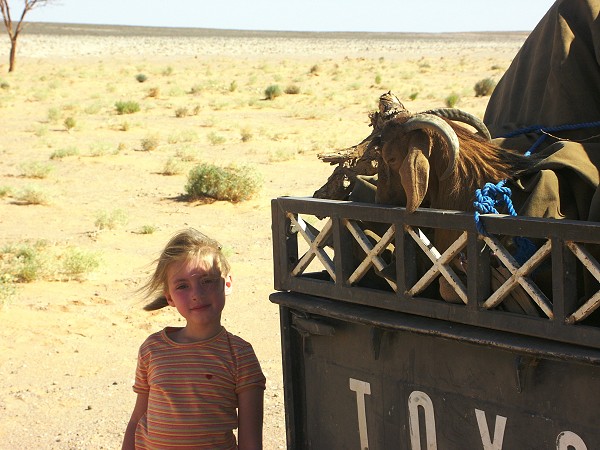
We found out early enough what to expect from the guide: an added excuse for long waits and delays along the trip. He started off taking four hours to materialize, eliminating any goodwill that may have remained in the group to his presence. The guide did not come alone, he was accompanied by a goat, obviously destined for a feast that evening. Hannah named the poor creature Linda, not to live it's last day without a name. (We only found out in the evening, Linda being suitably disassembled, that she was in fact a he).
With the morning delay, it took all day with continuous driving to reach Wau Namus by nightfall. At Wau Namus we were met with another surprise - the small northern crater where we planned to camp was now occupied by an army checkpost with a pack of barking dogs - the result of the recent events in Algeria.
Day 4. - Wau Namus - Camp
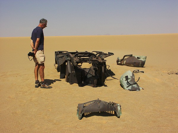
The morning was spent visiting the crater, then we continued on the track towards Tazerbo. We stopped at the tamarisk mounds of Bir Maaruf, and were shown the two spots by our guide where water can still be found by digging to a depth of 1-1.5 metres. There is a wreck of an Italian aeroplane near one of the wells.
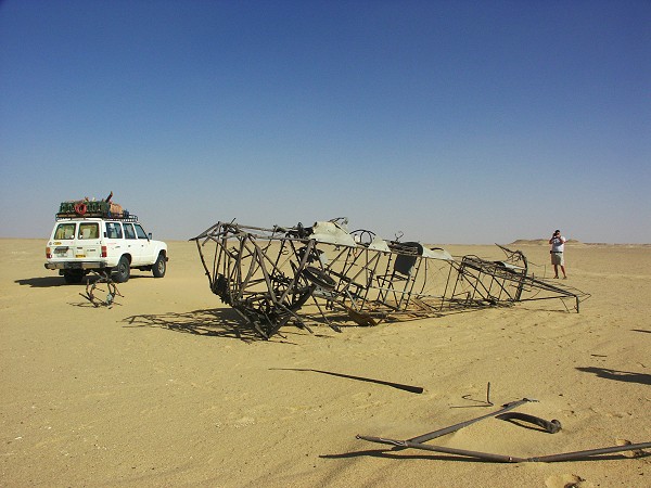
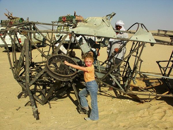
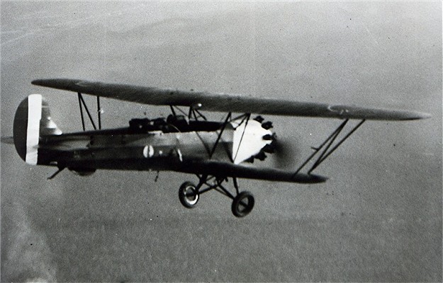
The wreck is now positively identified as a Meridionali (IMAM) Ro-1, a license-built version of the Fokker C.V, in construction between 1927 and 1935 (when it was gradually replaced with the bigger IMAM Ro-37. with which it has been initially confused). It was a general purpose biplane that was commonly used by the military in the thirties. Ro-1-s have been used in the area for reconnaissance preceding the occupation of Kufra in 1931, and from the official account it is known that one crashed and burned "near Wau Namus" in the autumn of 1930 (the pilot escaped with light injuries). As the immediate vicinity of Wau Namus is unsuitable for aircraft due to the soft sand, and Bir Maaruf was used as a reconnaissance base in 1930, this aircraft could well be the same. (If anyone knows more about the history of this wreck, please let me know!).
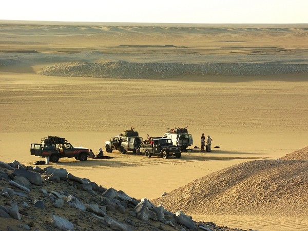
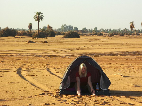
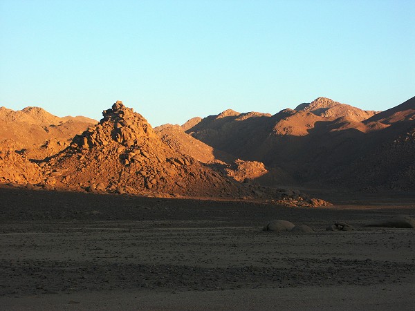
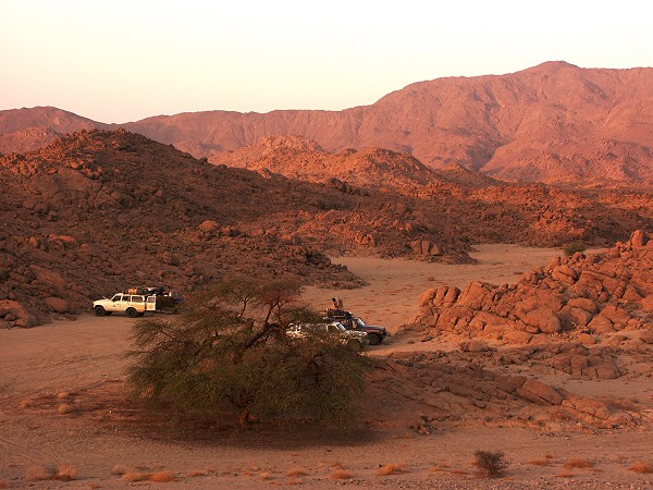
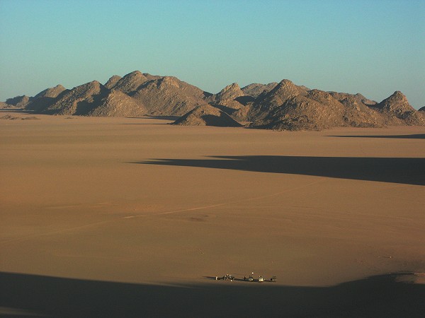
Our camp was at a pleasant spot beside low hills and dunes about halfway from Bir Maaruf to Tazerbo.
Day 5. - Camp - Tazerbo - Bir Zighen
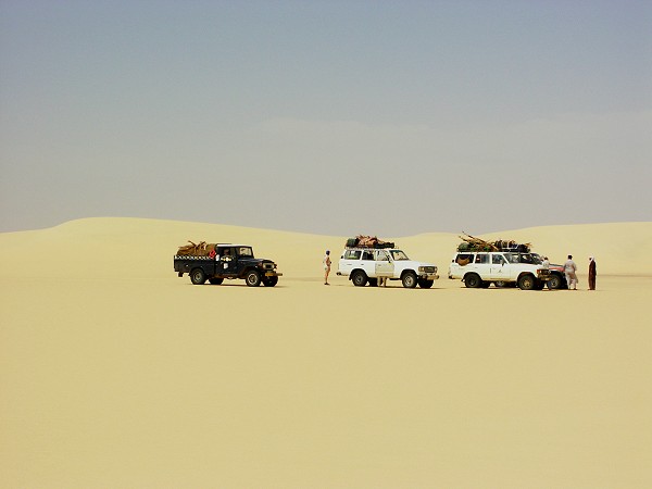
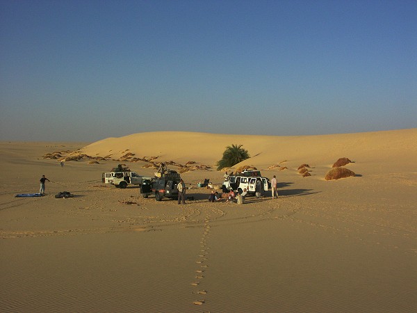
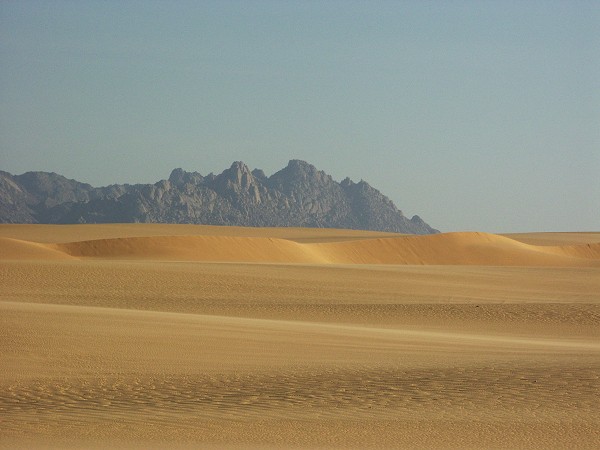
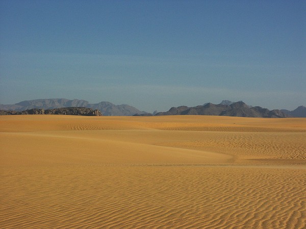
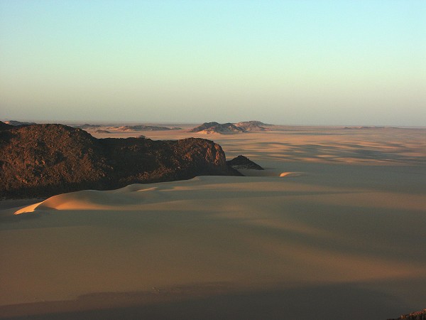
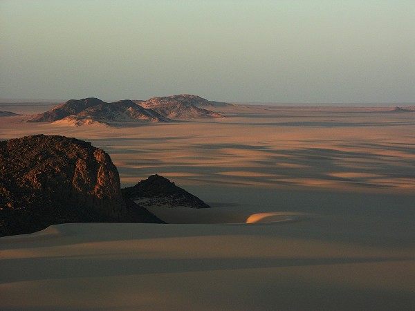
We reached Tazerbo by midday, and after the inevitable delays involving getting into town, left towards Bir Zighen in mid afternoon. We just reached the small cluster of palms and vegetation by the golden dunes at sunset.
Day 6. - Bir Zighen - Kufra
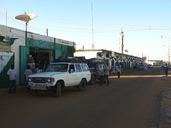
We hit the tarmac soon after our camping spot. It was in worse condition than ever, our drivers crawled at a snailpace over the corrugations to Kufra. By the time we got there early afternoon, all the offices were closed, had to spend a frustrating afternoon in the town, and the night at a rather bleak camping spot just out of town. By this time our cumulative delays attributable to our drivers and various parts of our escort added up to well over a day, making us less than pleased with their performance.
Day 7. - Kufra - Camp
The whole morning was spent doing the paperwork for the journey south. There were no problems, but the process has changed for the worse. Instead of the pleasant 10 minute cup of tea with the officers, we had to fill out a lengthy form in duplicate for everyone (and there was a single carbon sheet available), submit copies of the passports with the police registration, give five passport photos, all of which took several hours to do at the small photo shop on the main street .... One bright moment of the day was when we learned that there is going to be a flight from Kufra to Benghazi on the 1st November, the day we need it, and we could even buy the tickets.
Finally we were ready to leave at midday, but we only got as far as the checkpoint on the road to Uweinat, where we were directed to another checkpoint on the Sarra road - but we can go only with escort, and the escort was busy fixing his apparently unserviceable pickup... Finally after an hour the pickup started, and we could go to the other checkpoint, where after a heated discussion we were told that we cannot go to Uweinat by the way of Jebel Sherif (even though the police in Kufra did not object), but we must take the direct track. Our unconfirmed suspicion was that as the 'guide' and the drivers had no idea where Jebel Sherif (the location of the wrecked LRDG patrol cars of Clayton) was, they simply refused to go that way, and arranged it to make it appear that the military objects. At that point I was close to committing murder on the spot... So instead of Jebel Sherif, we set course towards Arkenu, making camp close to the half-way point.
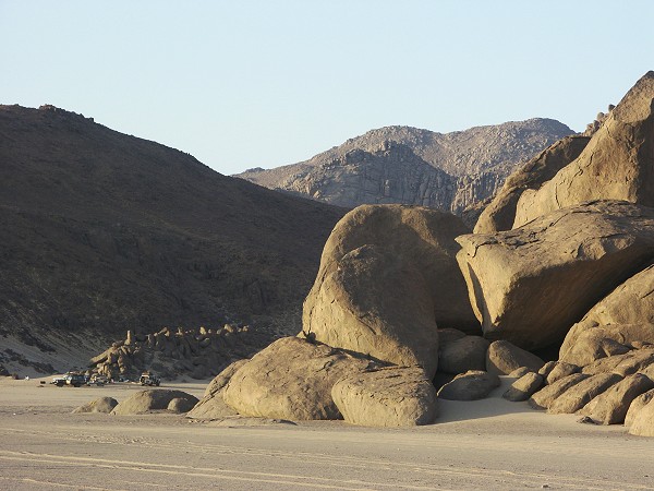
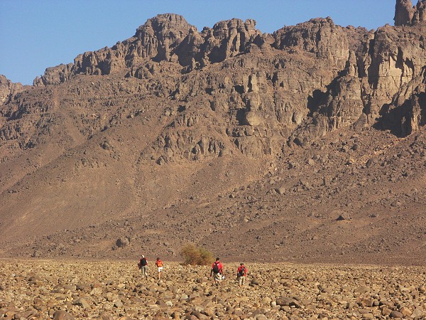
Day 8. - Camp - Jebel Arkenu
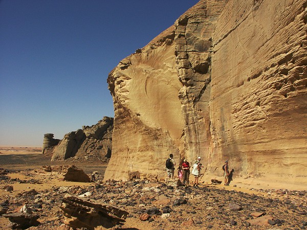
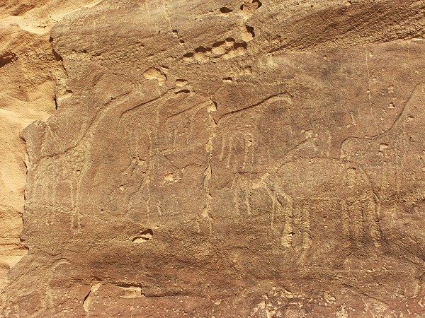
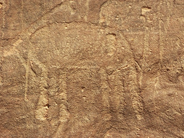
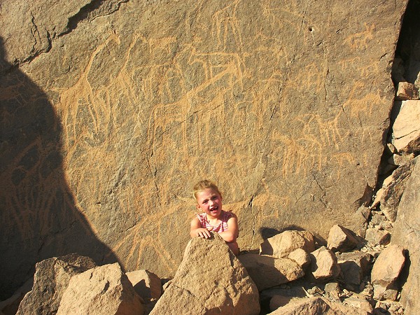
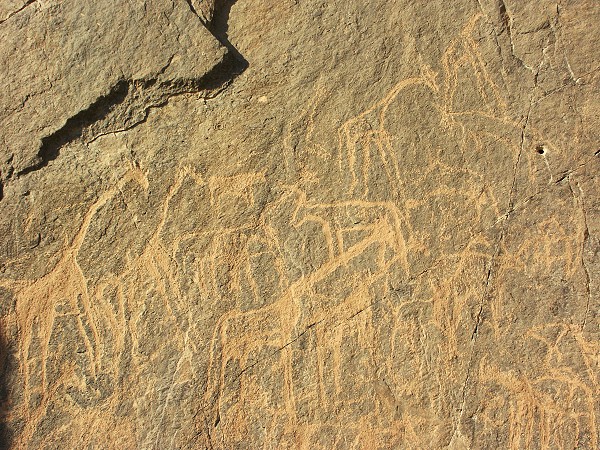
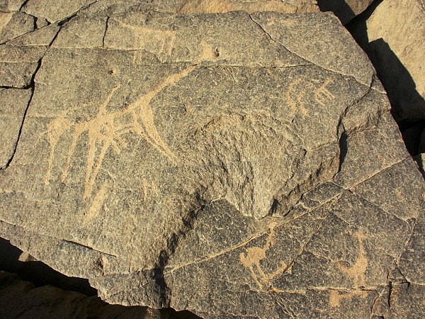
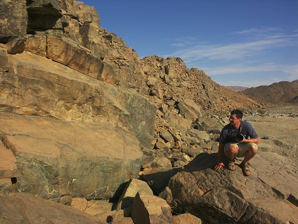
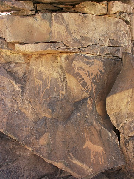
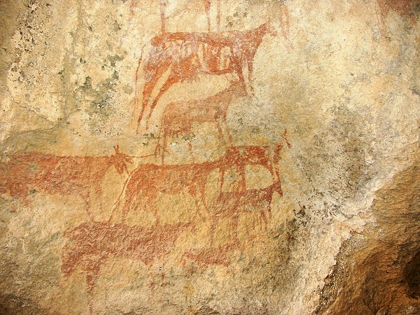
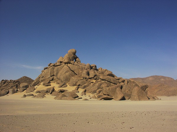
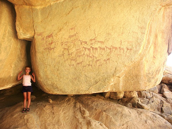
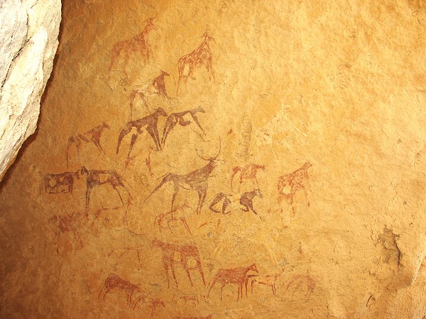
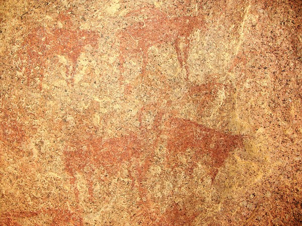
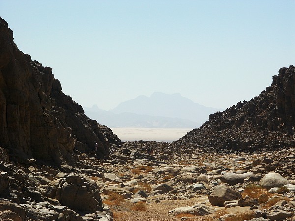
Soon after continuing in the morning we came accross a new checkpoint that sprang up recently on the Kufra - Uweinat track. Mercifully there were no delays this time, we could pass after a few friendly greetings were exchanged. We continued to a cluster of spectacular rocky hills a short distance off the track, where a year ago Friedrich Berger and party found two series of engravings. One of them, a large panel with wild animals, is quite impressive, and contains the only known representation of an elephant in the Libyan Desert.
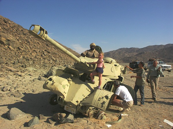
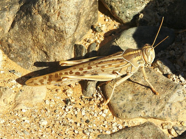
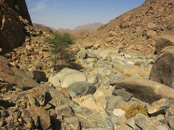
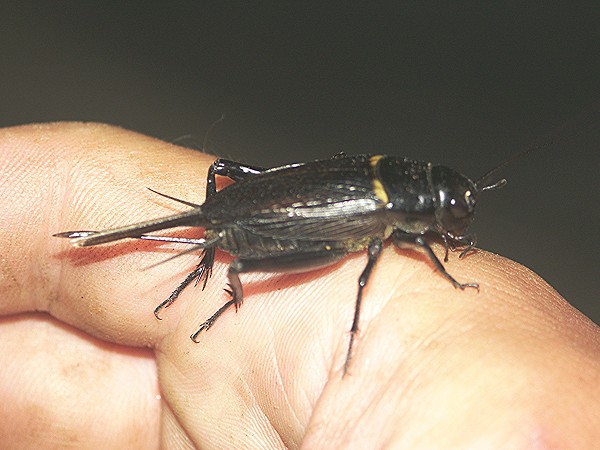
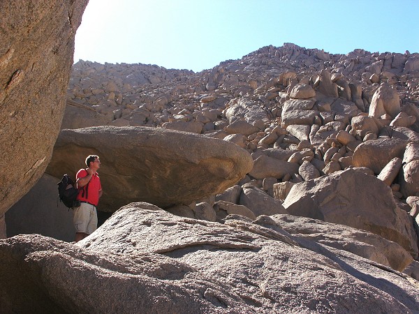
We reached Arkenu by midday, rounded the mountain and made our way into the main valley to camp at the end of the driveable section, past the wrecked armored car that still guards the entrance. Arkenu was exceptionally hot, and with the heat came an incredible amount of flies, that made our two day stay there rather unpleasant. There was no escape from them, a simple clap of hands in front of one's face ensured three-four to drop dead, but there were billions to immediately fill their place. There were also locusts, quite a lot of them - apparently the stray wanderers of a locust outbreak that was just happening at the time in western Sudan.
In the afternoon, we explored the main wadi in search of the engravings located by the Heinrich Barth Institut team last January. We did find them, two large panels of good quality engravings higher up along the side of the valley.
Later we visited the known sites in the main transverse valley, and located the missing site noted on the 1965 Sandhurst map, but skipped on the 2001 visit.
Day 9. - Jebel Arkenu
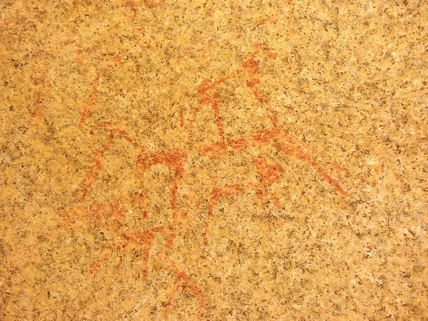
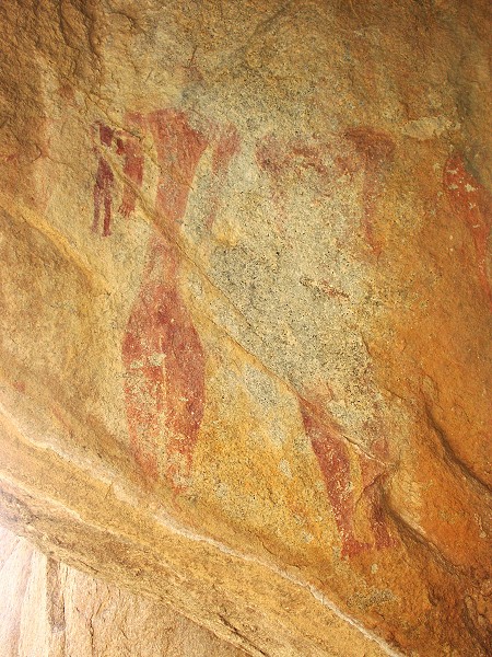
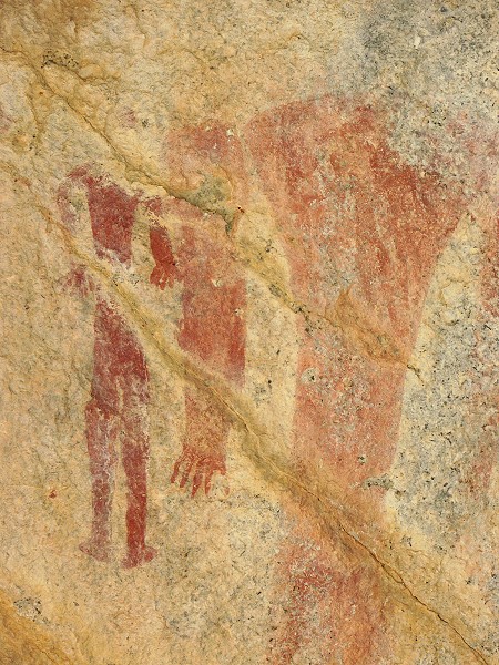
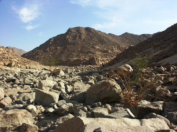
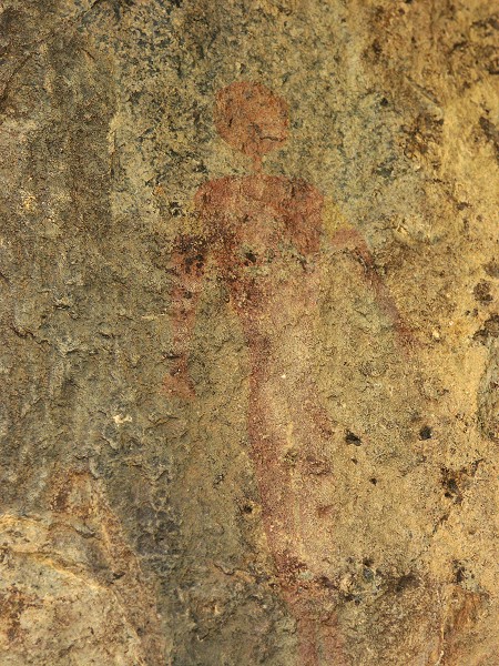
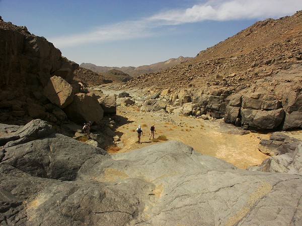
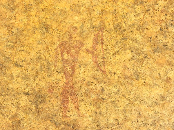
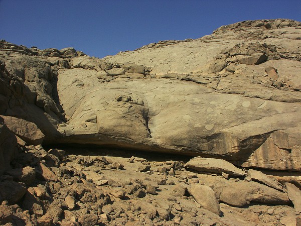
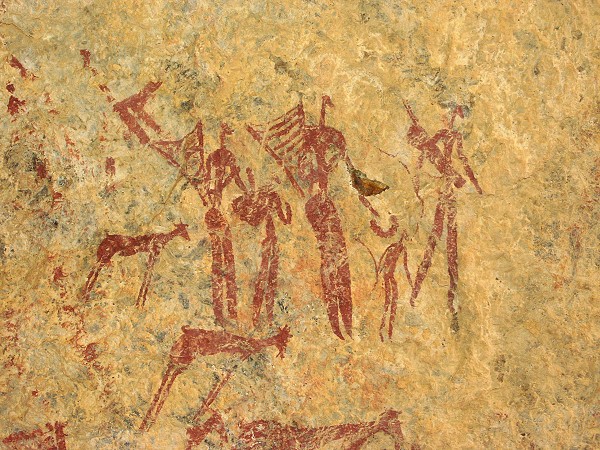
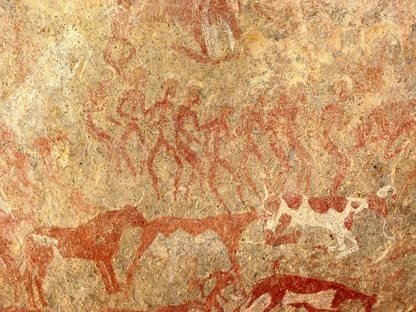
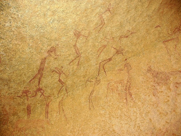
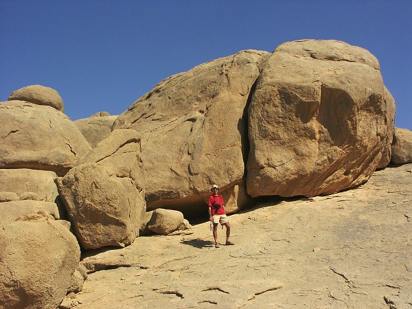
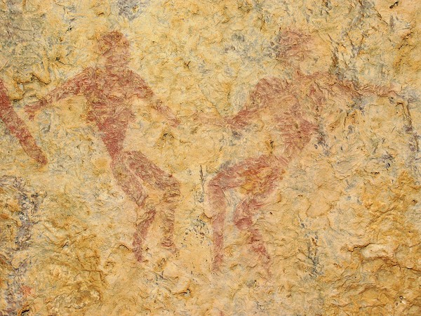
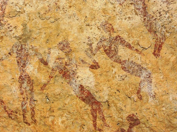
The day's plan was to explore the upper reaches of the main valley, where to our knowledge noone has been before. After start, close to the spring, we came accross the unique paintings seen by the Sandhurst team, and more recently Friedrich Berger. The large figures (about 90 cm high) are unlike anything known in the region.
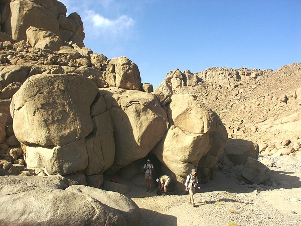
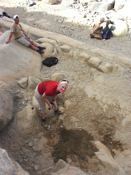
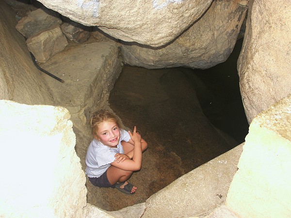
We found the spring to give water, though in very meagre quantities, just like two years ago. I dug a little hollow the sice of a teacup into the aquifier level, it took almost five minutes to fill with bitter and muddy water - drinkable only as very last resort.
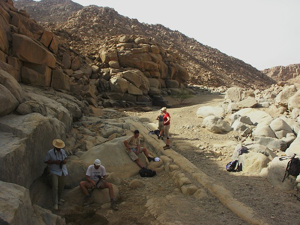
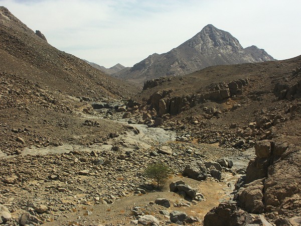
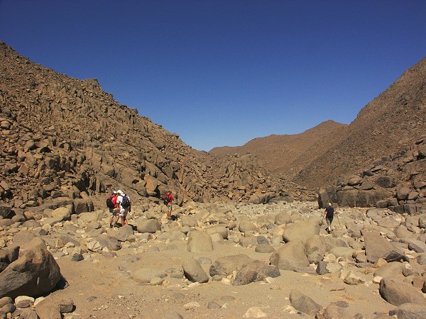
We continued upstream, past the engravings noted by the Sandhurst team, and continued into the unknown valley beyond. It turned out to be a bit of a disappointment, it was a bleak V shaped valley, with rocky screes on both sides, very little vegetation and no shelters anywhere.
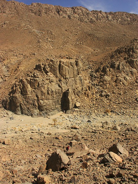
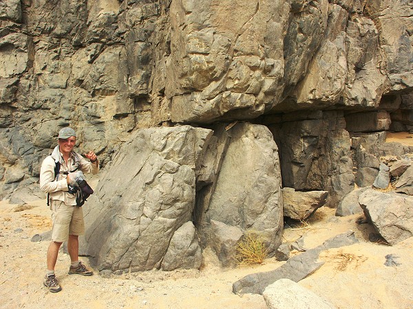
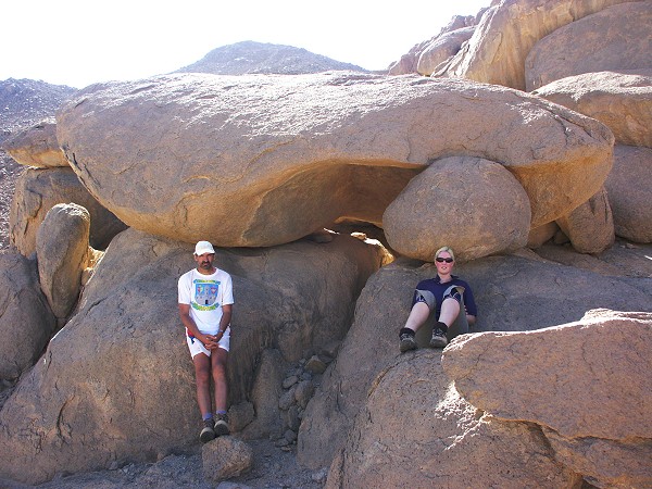
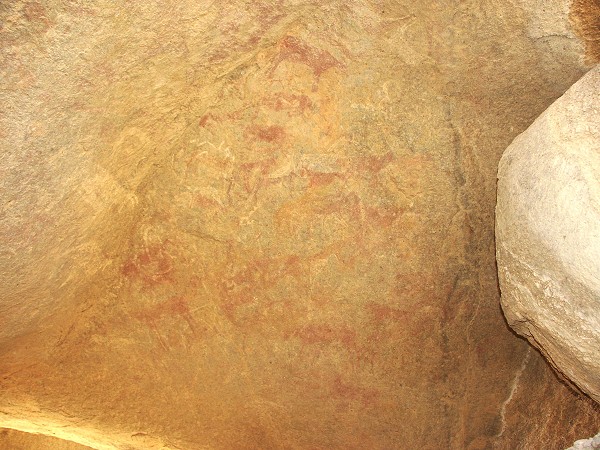
After an hour of walking upstream, Jarek found a few very faint painted figures on the vertical rock beside a little natural arch. They proved to be of the 'uweinat roundhead' style, the only sign of previous human habitation in the valley.
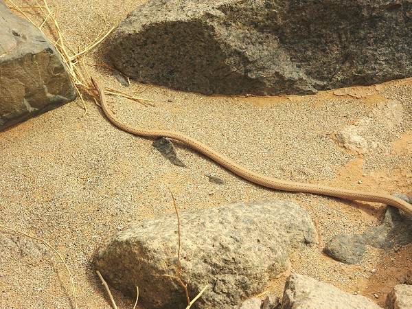
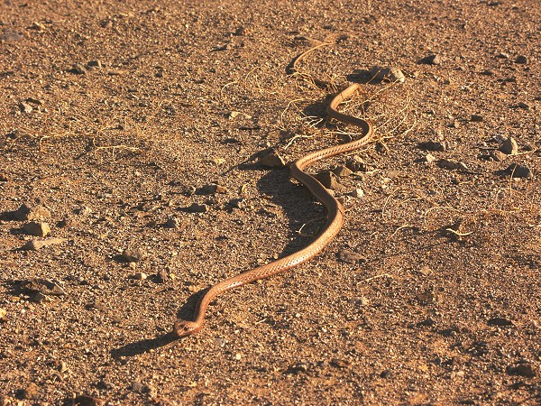
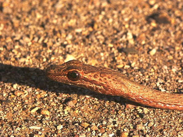
We continued upstream for another hour, there was no change in the general landscape. Thankfully it was slightly overcast, otherwise the heat would have been unbearable. Even thus, after two hours of barren rock, heat and flies, we decided that we've seen enough. We reached to about 2/3 the length of the unexplored part of the valley, there remains a further 3-4 kilometres of unexplored part beyond our turn-back point. Walking back, there was a brief burst of excitement when Jarek found a sand snake (Psammophis schokari) among the rocks.
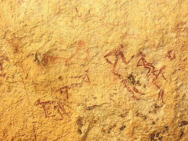
On our return journey we found a small shelter with a fine painted archer near the point where the valley makes a sharp turn east.
Day 10. - Jebel Arkenu - Karkur Idriss
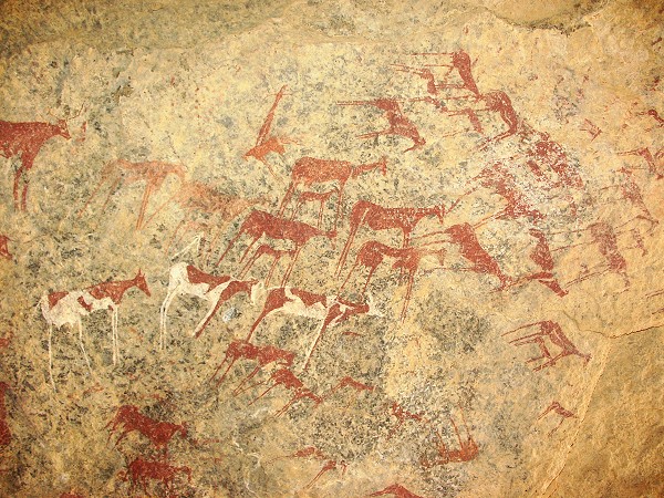
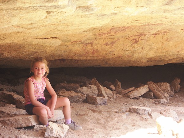
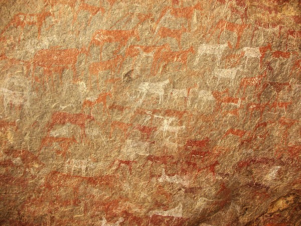
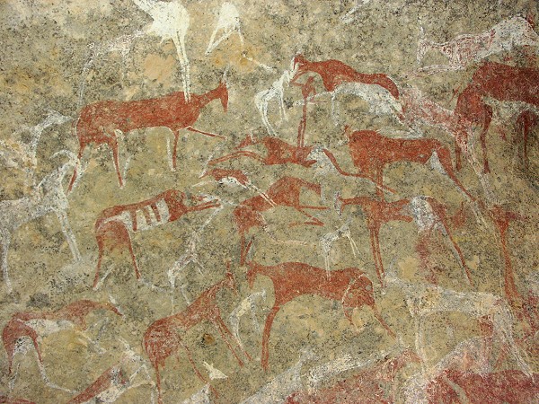
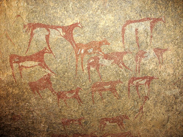
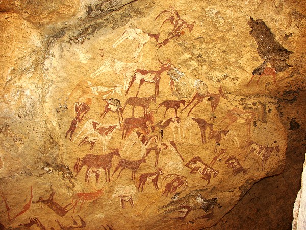
In the morning we set out to see a new rock art site discovered by Friedrich Berger and party last year along the southern side of the mountain. It's truly spactacular, a large long shelter with beautifully preserved paintings along it's whole length, one of the prime sites of the region.
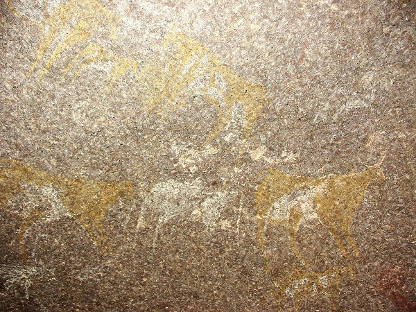
Nearby, we came upon a small shelter that contained a fine set of cattle.
At midday we crossed the dunes towards Uweinat. On the far side of the dunes, near the most commonly used crossing point to this day, there was the wreck of a Ford truck. By the style and patina it looked like an early 1940's Ford, however there was no way to tell whether it was a LRDG, SDF or some other vehicle.
We made camp in Karkur Idriss, near the spectacular sites of Bu Helega. The afternoon was spent visiting the sites, and a little exploration of the area further in Karkur Idriss, around the known sites there. No new sites were found, but it was a pleasant afternoon, especially with the flies of Arkenu left behind.
Day 11. - Karkur Ibrahim

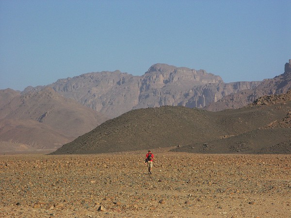
The morning was spent exploring a southern side branch of Karkur Ibrahim. We climbed up the valley for about six kilometres. No rock art was seen, but the scenery was lovely, and surprisingly there was much green vegetation in the valley among the rocks, some of them never before seen.
In the afternoon we visited the known sites in the middle of Karkur Ibrahim (and this time managed to locate the missing sites of Le Quellec - having gps points from Jean-Loïc helped).
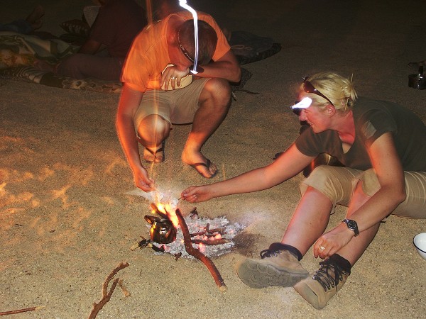
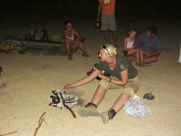
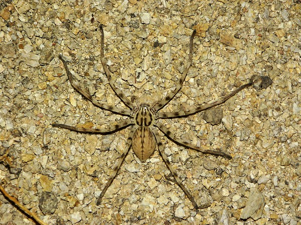
We made camp near the end of the driveable section of Karkur Ibrahim. Highlight of the evening was roasting the marshmallows that Hannah produced, and saying hello to the many legged visitors that wondered into the light of the fire and our torches. (The large spider, Sparassus dufouri, was never before noted at Uweinat.)
Day 12. - Karkur Ibrahim - Ain Doua - Karkur Ibrahim
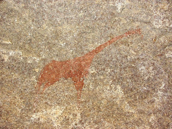
In the morning we visited Le Quellec's site KI 2 with the lovely giraffe, and amazingly colourful cattle. We did some further exploration of the area, and found another two minor sites. Continuing towards the entrance of Karkur Ibrahim, we found another four sites. All were very faint and damaged, but some were clearly of the 'uweinat roundhead' style.
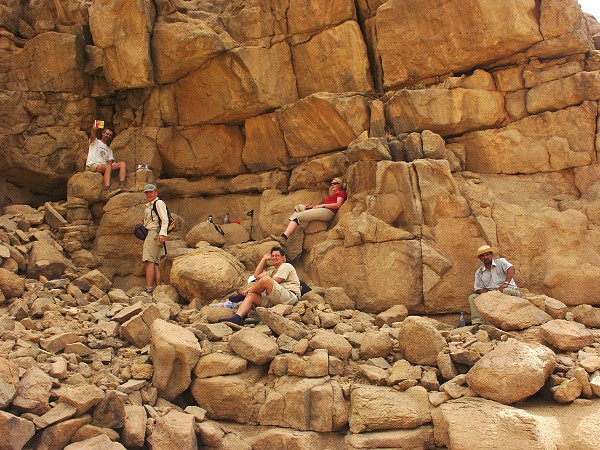
After the obligatory stop at the Ain Ghazal checkpoint, we continued to the small military post at Ain Doua. We visited the known sites, but failed to find Rhotert's site "D" which is located somewhere high above the others, on the bouldery slope.
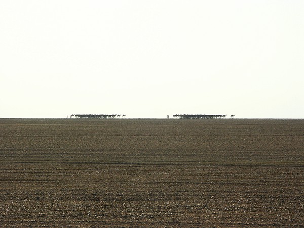
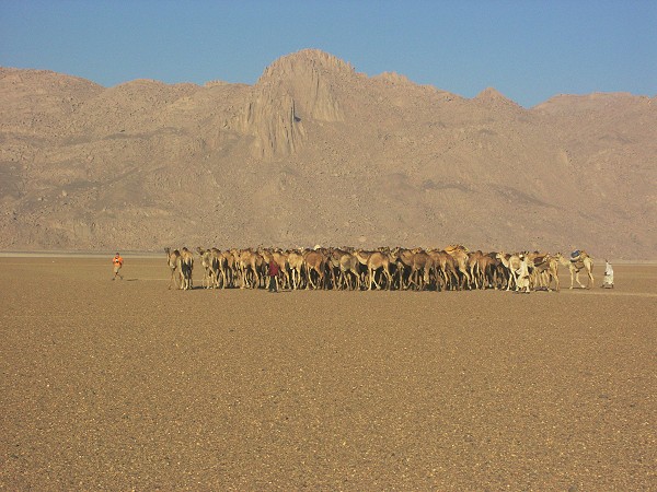
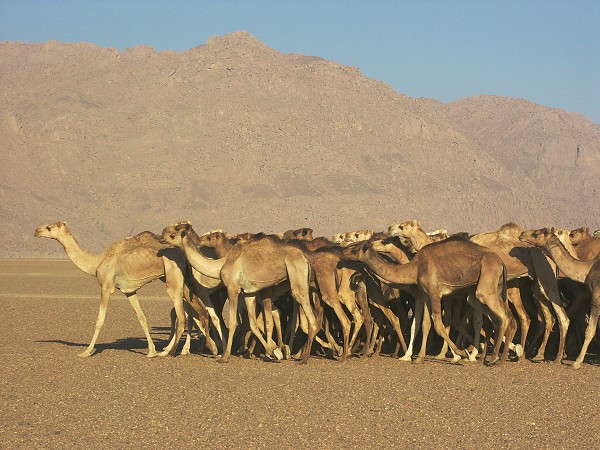
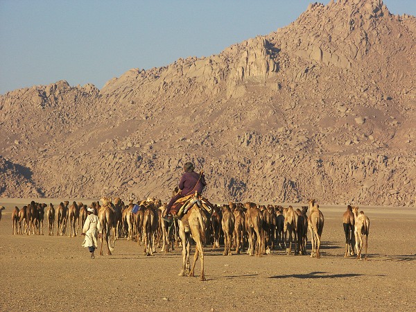
Our plan was to continue to Yerguehda hill in the south, then visit southern Uweinat and Kissu, but the military offficers made it very clear that crossing over to Sudan was a definite no-go. Even more frustrating was that our drivers flatly refused to go anywhere south and east of Ain Dua, even on libyan territory. They cited the lack of permits, but again my impression was that the officers would not have minded, as long as we stay in Libya. After a short discussion it was decided to return to karkur Ibrahim, and do some more exploration of western Uweinat in the two available days. On our return, we met a huge camel caravan coming up from the south, an amazing sight. There must have been over 200 animals, attended by six herders. They came from Mellit in Sudan, and were going to the camel market in Kufra.
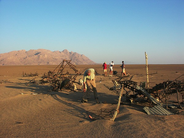
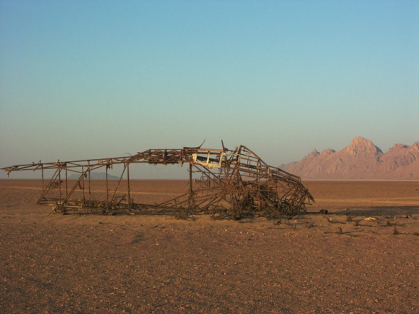
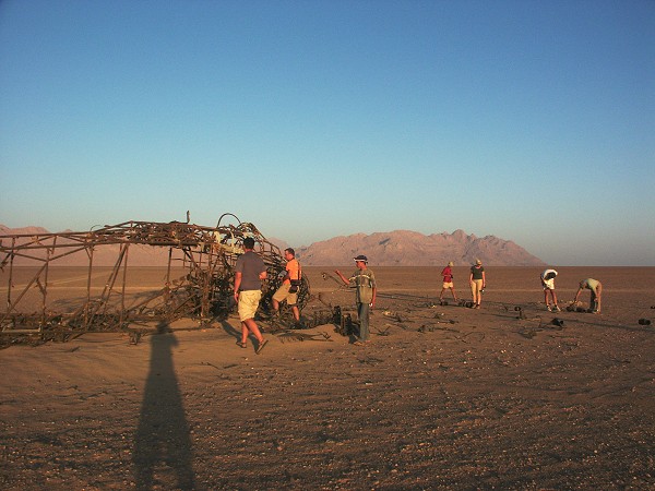
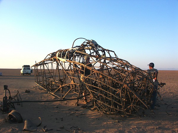
After the camel encounter we continued to the old landing ground used in WWII. Much to our surprise, the wrecks of the two Savoia SM-79 bombers, destroyed in 1940 by the LRDG, were still there. Their condition has deteriorated since the last photo taken in 1968, but the steel frame of one of them is still fairly intact. (It is very probable that the tidbits of recognisable aeroplane parts found at various tibou encampments around Uweinat came from these two wrecks.)
Day 13. - Karkur Ibrahim - Karkur Idriss
Our camp was beside some fantastic granite outcrops near Le Quellec's site KI 2. We spent a leisurely morning exploring the area more thoroughly, and found three more sites in the vicinity, two of them quite interesting. Dora was extremely proud, having discovered the first one all by herself.
In the afternoon we explored in detail the sides of the valley around the broad plain at the entrance of Karkur Ibrahim. Jarek, our resident rock art spotter found several sites along the south bank, and we came upon more at the little rock island right at the valley's entrance. Alltogether, during this trip we saw 15 new sites at Karkur Ibrahim, most of them found by Jarek, our resident rock-art spotter of the trip.
We moved to our previous campsite at Bu Helega for the evening, exploring the outer slopes between the mouths of Karkur Ibrahim and Karkur Idriss, without any luck.

Day 14. - Karkur Idriss - Jebel Arkenu
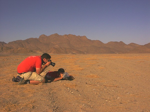
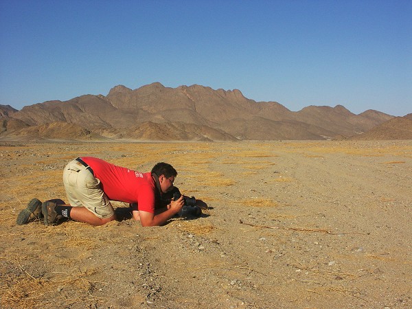
The morning was spent exploring the northern tributary of Karkur Idriss, branching off just before Bu Helega. It starts out as a broad valley, rivaling the main branch in width. (I mistakenly confused it with Karkur Hamid, as this is the third large valley in Western Uweinat, but clearly Karkur Hamid is the broad plain encircled with low hills to the north of Uweinat on both the Survey of Egypt and the Marchesi maps.) Right at start we encountered a beautiful and exceptionally large sand snake (Psammophis schokari) warming itself in the morning sun, obediently posing for the clicking cameras as if on an Oscar gala.
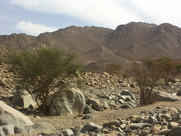
The valley is only driveable for the first 3 kilometres. We continued on foot for another three, where a cluster of granite boulders looked promising. Sure enough, Hannah found a shelter with rather faint scenes of cattle.
We continued up the valley for a further hour, but like it's counterpart at Arkenu, it was just barren rock, nothing promising. We returned to camp, and decided to move over to Arkenu, where the broad valley draining the eastern part of the mountain looked more promising, cutting through sandstone country.
Day 15. - Jebel Arkenu - Jebel Bahari
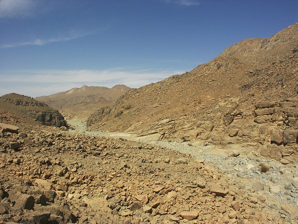
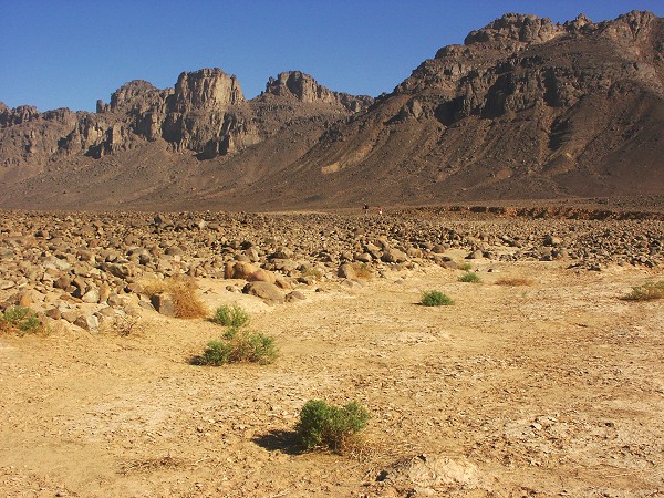
The broad mouth of the eastern wadi draining to the south is a rocky fan that is practically impassable for vehicles, as we found out the evening before. Our camp, the closest point, was a good six kilometres away from the point where the valley narrowed. It took an hour and half to reach the narrowing point, and go to the bend beyond to peek further in. It was disappointing, it was the same type of V shaped valley, with straight loose scree sides, as we have seen on two other occasoions. No rock outcrops, no shelters, and no trace of human habitation. We continued for a further three kilometres, before starting the long walk back to the waiting vehicles.

In the afternoon we rounded Arkenu to the east, and crossed the dune range separating it from Jebel Bahari.
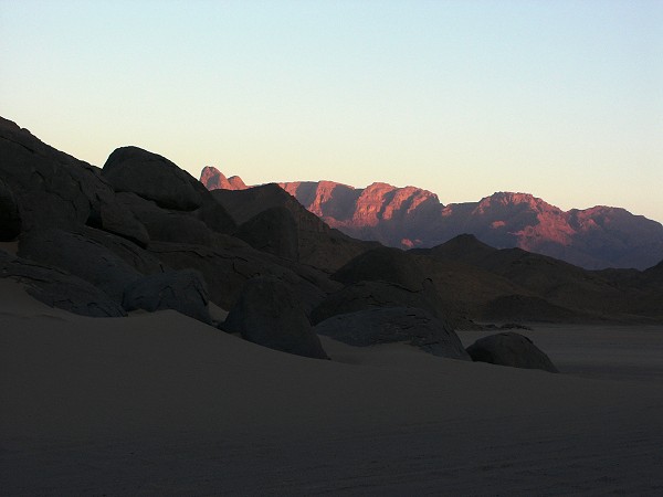
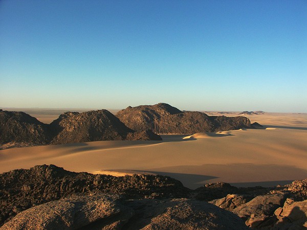
We camped inside the circle of Jebel Bahari, where we found nothing exciting except for a beautiful sunset.
Day 16. - Jebel Bahari - Kufra
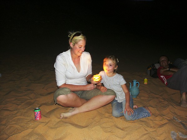
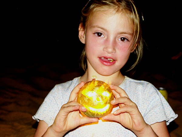
The day was spent with an uneventful drive north, till a solitary hill 40 kilometres south of Kufra, where we made camp, and packed our gear for the flight back to Tripoli. It was Halloween night, a colocynth making a perfect pumpkin substitute.
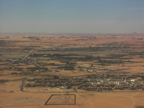
Day 17. - Kufra - Benghazi - Tripoli
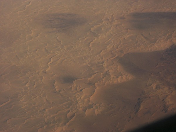
In the morning we drove to a suspiciously deserted looking Kufra airport, where however we were assured that yes, there is going to be an airplane today. Soon we found out that it is to depart in the afternoon, instead of the morning as we were told ten days earlier. Sure enough, around noon the untill then deserted airport started becoming populated, and by half past two we were all sitting on an old but apparently well maintained Boeing on our way to Benghazi.
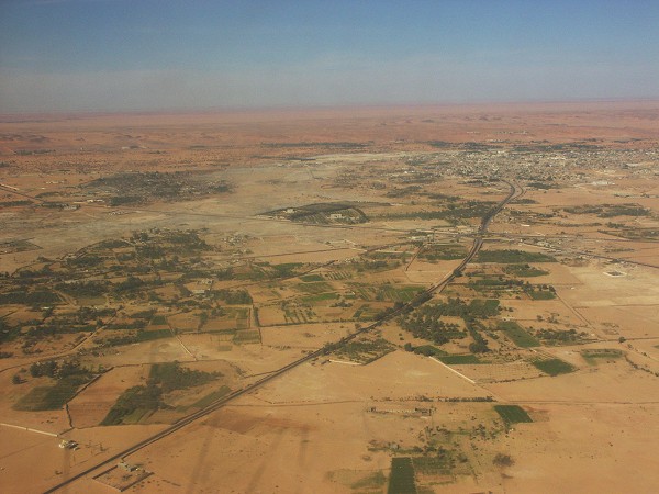
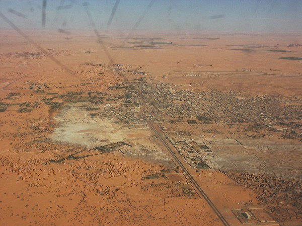
The flight itself was just about an hour, and happily they have not heared about post 9/11 regulations, because the captain on hearing of my past aviation career, immediately invited Dora into the cockpit for landing, something that used to be standard practice when I was a child.
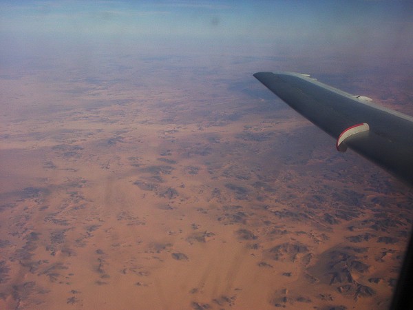
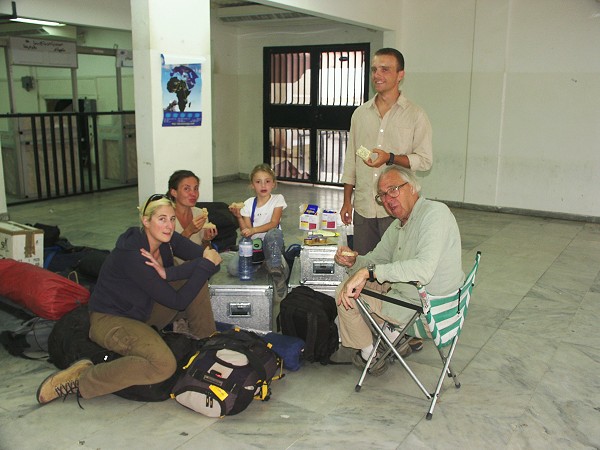
The short flight was followed by a long wait at Benghazi airport for our continuing flight to Tripoli, as all schedules were shifted by two hours due to Ramadan. This also meant that there was nothing open either, fortunately we could raid our leftover food boxes for lunch and dinner. We finally made it back to our tripoli hotel by close to midnight, but still it was a much better alternative than the prospective three days continous driving.
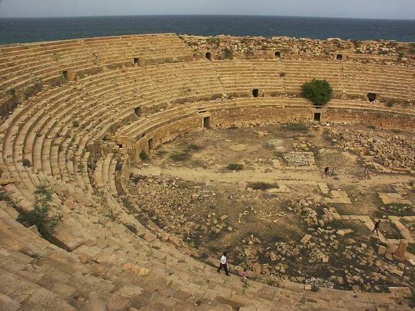
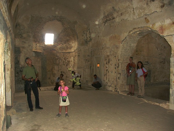
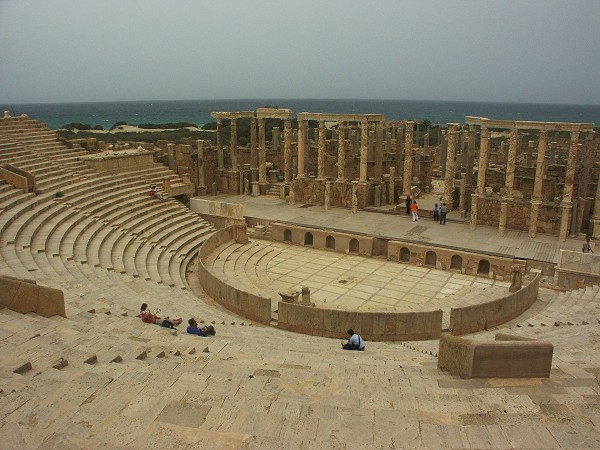
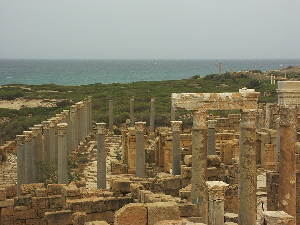
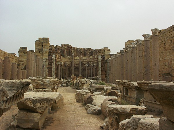
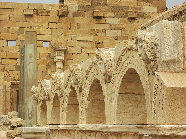
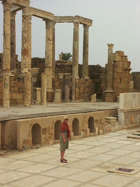
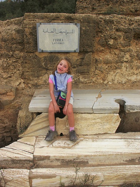
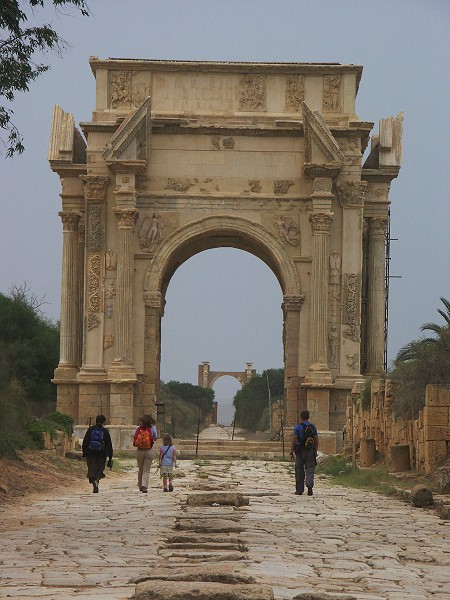
Day 18. - Leptis Magna
With the flight from Kufra, we had a spare day, which we spent visiting the ruins of Leptis Magna, some 150 kilometres east of Tripoli.
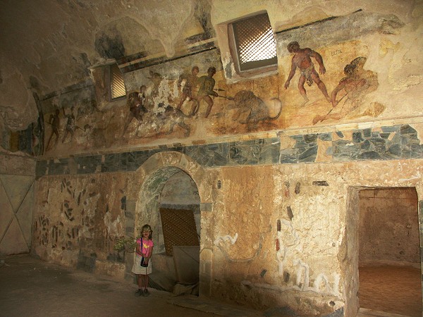
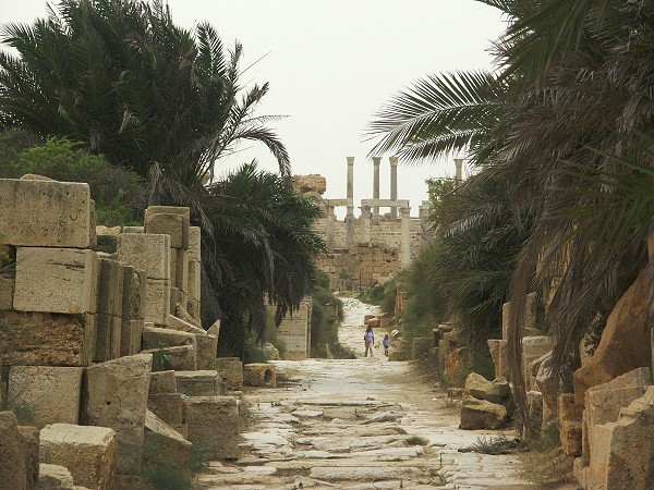
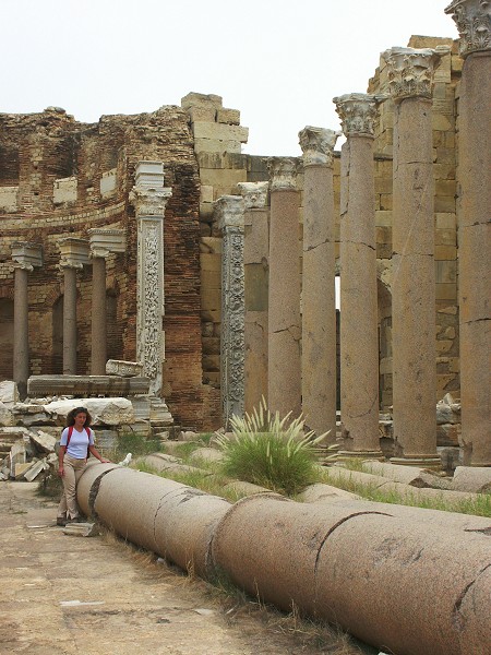
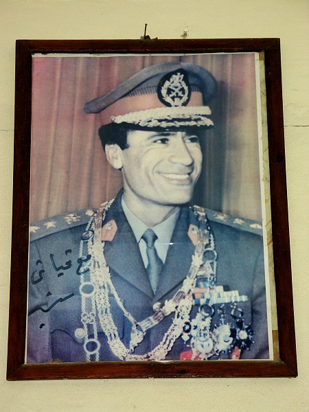
The last photo of the trip, specially taken for Hannah who ran out of film :) (The Omnipresence in his better days, watching over the ticket office of Leptis Magna)